


89 km | 126 km-effort
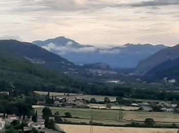
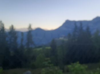
Alpes-de-Haute-Provence : découvrez les meilleures randonnées : 5 483 pédestres, 1 082 à vélo ou VTT et 121 parcours équestres. Tous ces circuits, parcours, itinéraires et activités en plein air sont disponibles dans nos applications SityTrail pour smartphones et tablettes.

Marche


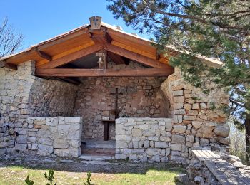
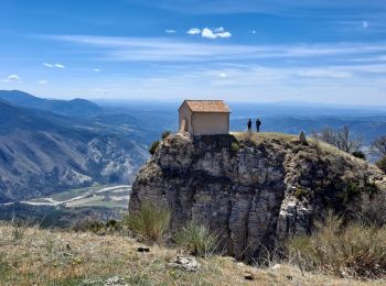
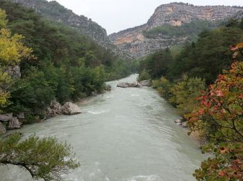
• Gorge du Verdon
Marche
• Randonnée de difficulté moyenne pour les habitués de la marche. Pas de problème technique, juste deux passages un peu...
Marche
• Ballade de difficulté moyenne au départ de Saint Geniez. On peu stationner facilement sur la place du village. C'est ...
Marche
• MAGNIFIQUE
Marche
• Ne pas faire s il a plu . Agréable
Marche
• MAGNIFIQUE
Marche
•
Marche
• Bien indiquer , bien ombrager , sympa
Marche
• Dimanche 12 juin 2022 : Découverte de Gréoux les Bains Au départ du CLUB 3 ÉTOILES DOMAINE DE CHÂTEAU LAVAL, découver...

Marche
• Magnifique
Marche
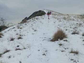
• Sommet au sud de Digne-les-Bains. Pas de difficultés techniques, mais condition physique obligatoire, car la randonné...
Marche
• Super
Marche
• Super
Marche
• Magnifique , montée facile ombragée marmottes . descente en balcon superbes paysages
Marche
• Belle rando facile
Marche
• Agréable. ombrager tout le long , belles vues sur Serre Poncon. bien indiquer, super
Marche
• Sympathique comme moi rire

Marche
• Super
Marche
• Randonnée facile au départ du centre médical à Forcalquier.
Marche
• Rougon - les Gorges du Verdon du Point Sublime à Encastel GR49 AR - 9.3km 700m 3h15 - 2014 09 19
20 randonnées affichées sur 7201
Application GPS de randonnée GRATUITE
 SityTrail
IGN / Instituts géographiques
SityTrail World
Le monde est à vous