


15,7 km | 24 km-effort
Auzet : découvrez les meilleures randonnées : 19 pédestres et 1 à vélo ou VTT. Tous ces circuits, parcours, itinéraires et activités en plein air sont disponibles dans nos applications SityTrail pour smartphones et tablettes.
Marche


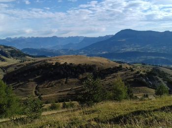
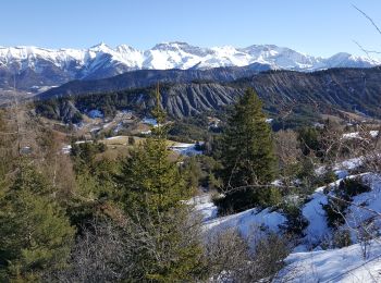
• 5 h marche 16 kms 700 me dénivelé vu chamois marmottes vue à 360 degré au sommet magnifique
Marche
Marche
Marche
Marche
Marche
Marche

Marche
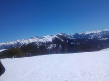
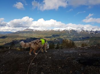
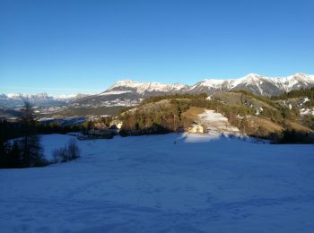
Raquettes à neige

Raquettes à neige

Marche
• AR Col du Fanget, Col des Tomples
Marche
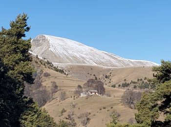
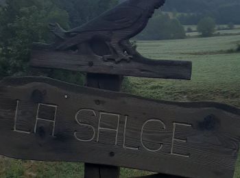
• Boucle Auzet col du Fanget
Marche
• Attention, bifurcation loupé au départ.
Marche
• Faite le 30/10/2015 - Rando n°34 du Guide rando des Préalpes de Digne. Décidément l'auteur de cet ouvrage a une conc...
Marche
• More information on GPStracks.nl : http://www.gpstracks.nl
Raquettes à neige
• Ski de rando Déniv. +1400

Autre activité
• Ski de rando
Raquettes à neige
Marche
Marche
20 randonnées affichées sur 31
Application GPS de randonnée GRATUITE
 SityTrail
IGN / Instituts géographiques
SityTrail World
Le monde est à vous