


8,7 km | 18 km-effort
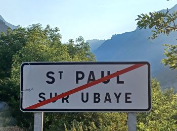
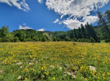
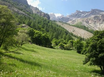
Saint-Paul-sur-Ubaye : découvrez les meilleures randonnées : 254 pédestres et 8 à vélo ou VTT. Tous ces circuits, parcours, itinéraires et activités en plein air sont disponibles dans nos applications SityTrail pour smartphones et tablettes.
Marche


• Des patous sur le trajet nous ont obligés à faire un détour à la descente

Marche
• Maljasset - Ceillac 2 possibilités : soit partir en prenant par le col Tronchet, soit le classique GR5, comme tracé i...
Marche
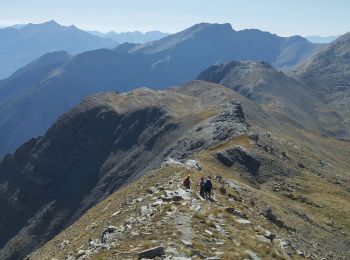
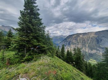
• Magnifique
A pied
• Symbole: red bar on blue background
Marche
• Se garer vers la cote 1720 à la Blachière sur la route qui monte à Maljasset. Un sentier très raide dès le départ rem...

Autre activité
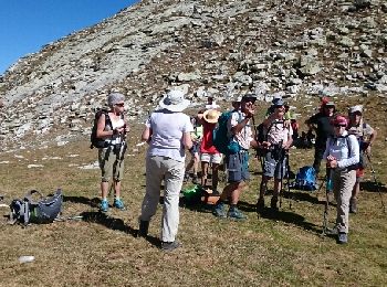
• Jeudi 15 sommet du massour avec bivouac
Marche
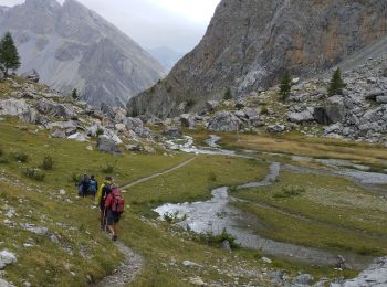
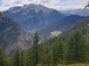
• Départ de Fouillouse (Village d'origine de la famille de l'Abbé Pierre) Arrivée au pied du Brec du Chambeyron
Marche
Marche
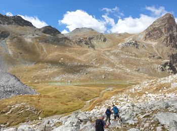
• Belle randonnée depuis MALJASSET au Plan de PAROUART (ancien lac au début du XXème siècle comblé par les alluvions de...
Raquettes à neige
Ski de randonnée
Marche
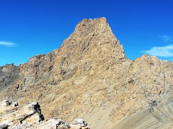
• OK plus mde glacier Marinet
Marche
• Marche avec un bon dénivellé mais pas difficile Un petit passage aérien, proche de la batterie, faisable par des enfa...
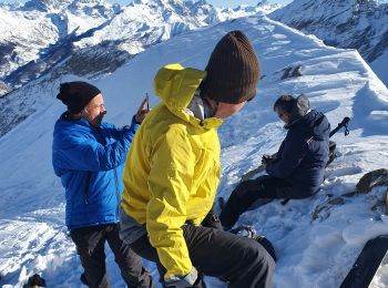
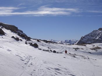
Ski de randonnée
• ski rando
Marche
• sublime randonnée au départ du hameau de fouillouse. L'arrivée au point de depart est déjà magnifique ensuite ça mont...
Marche
Marche
Marche
• souvent hors piste le debut sentier cairne
Marche
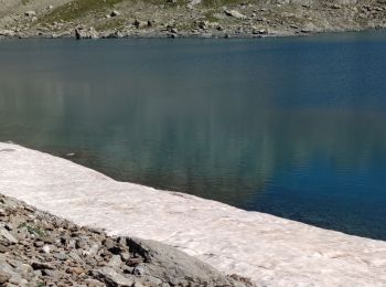
• Par les lacs de Marinet
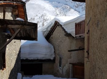
Raquettes à neige
• Arrêt à la bergerie inférieure à cause du vent froid. Descente dans 50 cm de poudreuse entre les mélèzes.
20 randonnées affichées sur 328
Application GPS de randonnée GRATUITE
 SityTrail
IGN / Instituts géographiques
SityTrail World
Le monde est à vous