


14,6 km | 21 km-effort
Ganagobie : découvrez les meilleures randonnées : 21 pédestres. Tous ces circuits, parcours, itinéraires et activités en plein air sont disponibles dans nos applications SityTrail pour smartphones et tablettes.
Marche


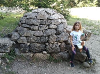
• Sympathique comme moi rire
Marche
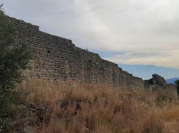
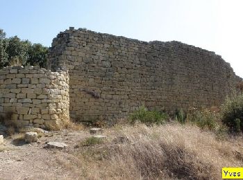
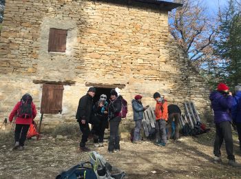
• Départ au village de Ganagobie, devant la mairie, montée vers le plateau, tour du plateau par l'ouest en passant par ...
Marche
Marche
A pied
A pied
Marche
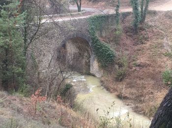
• Du pont Bernard à la haute sautée

Marche
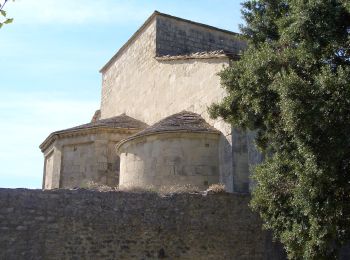
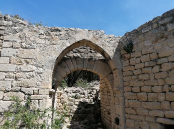
• Ganagobie
Marche
Marche
• Boucle par Villevielle. Très tranquille, ombragée.
Marche

Marche

A pied
Marche
Marche
Marche
Marche
Marche
Marche
Marche
20 randonnées affichées sur 20
Application GPS de randonnée GRATUITE
 SityTrail
IGN / Instituts géographiques
SityTrail World
Le monde est à vous