Saint-Jurs, Alpes-de-Haute-Provence : Les meilleures randonnées, itinéraires, parcours, balades et promenades

1 commentaires

Saint-Jurs : découvrez les meilleures randonnées : 25 pédestres, 5 à vélo ou VTT et 4 parcours équestres. Tous ces circuits, parcours, itinéraires et activités en plein air sont disponibles dans nos applications SityTrail pour smartphones et tablettes.


Les meilleurs parcours (38)

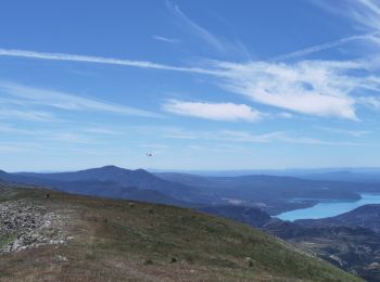
Randonnée Marche Saint-Jurs - SAINT JURS   sommet de l Agra , moulin de Mouresse o l s - Photo
Marche 16.095
Km

Marche

Difficile
Saint-Jurs, Provence-Alpes-Côte d'Azur, Alpes-de-Haute-Provence, France
16,1 km | 26 km-effort
4h 37min
743 m
745 m
Oui
RobinMicheline

• Belle rando , bien indiquer sentiers sympas
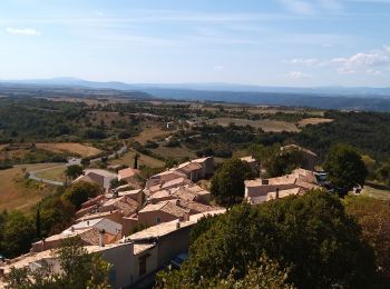
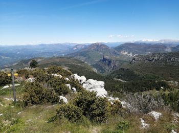
Randonnée Marche Saint-Jurs - de saint jurs au col - Photo
Marche 9.443
Km

Marche

Très facile
Saint-Jurs, Provence-Alpes-Côte d'Azur, Alpes-de-Haute-Provence, France
9,4 km | 16,4 km-effort
3h 6min
526 m
523 m
Oui
jmv77

• jolie montée en prenant la piste ,très beau point de vue en haut belle ballade vraiment pas difficile en fin de prome...
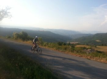
Randonnée V.T.T. Saint-Jurs - saint Jurs - Puimoisson - Photo
V.T.T. 22.713
Km

V.T.T.

Difficile
Saint-Jurs, Provence-Alpes-Côte d'Azur, Alpes-de-Haute-Provence, France
23 km | 29 km-effort
2h 28min
492 m
492 m
Oui
kael

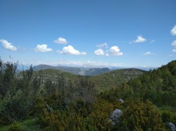
Randonnée Marche Saint-Jurs - col de st jurs_montdenier - Photo
Marche 5.703
Km

Marche

Moyen
Saint-Jurs, Provence-Alpes-Côte d'Azur, Alpes-de-Haute-Provence, France
5,7 km | 11,1 km-effort
4h 18min
405 m
411 m
Oui
bernir

Randonnée Marche Saint-Jurs - l agra - Photo
Marche 11.324
Km

Marche

Moyen
Saint-Jurs, Provence-Alpes-Côte d'Azur, Alpes-de-Haute-Provence, France
11,3 km | 19,4 km-effort
4h 16min
593 m
639 m
Non
Vero7684

Randonnée Marche Saint-Jurs - col de jurs vers montdenier - Photo
Marche 6.984
Km

Marche

Moyen
Saint-Jurs, Provence-Alpes-Côte d'Azur, Alpes-de-Haute-Provence, France
7 km | 12,6 km-effort
2h 30min
423 m
425 m
Oui
jeremie.cambon

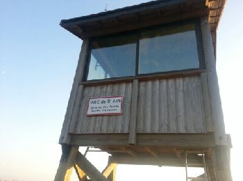
Randonnée Marche Saint-Jurs - Saint-Jurs - le Vigie - Photo
Marche 7.111
Km

Marche

Moyen
Saint-Jurs, Provence-Alpes-Côte d'Azur, Alpes-de-Haute-Provence, France
7,1 km | 13,6 km-effort
1h 31min
639 m
26 m
Non
kael

• Superbe vue panoramique du plateau de Valensole, de l'Agra et du Montdenier. L'abri au sommet est le bienvenue pour s...

Randonnée V.T.T. Saint-Jurs - Tour du Mont denier en vtt - Photo
V.T.T. 34.057
Km

V.T.T.

Très difficile
Saint-Jurs, Provence-Alpes-Côte d'Azur, Alpes-de-Haute-Provence, France
34 km | 47 km-effort
5h 18min
984 m
985 m
Oui
laurentnerual

• 36 km et 936 m de dénivelé positif

Randonnée sport Saint-Jurs - Rando reco fête rando - Photo
sport 10.587
Km

sport

Très facile
Saint-Jurs, Provence-Alpes-Côte d'Azur, Alpes-de-Haute-Provence, France
10,6 km | 18,9 km-effort
Inconnu
621 m
621 m
Oui
NEJALY

• Crête et sommet Montdenier

Randonnée Marche Saint-Jurs - 04_La Blache_Le Chaffaut_J7_rea_corrigé - Photo
Marche 25.061
Km

Marche

Difficile
Saint-Jurs, Provence-Alpes-Côte d'Azur, Alpes-de-Haute-Provence, France
25 km | 34 km-effort
6h 36min
655 m
853 m
Non
jab31

• avec 2 raccourcis

Randonnée Marche Saint-Jurs - Montdenier - Photo
Marche 5.461
Km

Marche

Facile
Saint-Jurs, Provence-Alpes-Côte d'Azur, Alpes-de-Haute-Provence, France
5,5 km | 10,8 km-effort
1h 46min
403 m
405 m
Oui
Migueldefrance

• Assez courte balade très belle. Vue superbe de la crête. La piste d'accès, depuis St Jurs est très longue (6 km) et...

Randonnée Marche Saint-Jurs - La bas de St Jurs - Photo
Marche 4.244
Km

Marche

Facile
Saint-Jurs, Provence-Alpes-Côte d'Azur, Alpes-de-Haute-Provence, France
4,2 km | 6 km-effort
1h 11min
134 m
133 m
Oui
jmv77

• ballade en sous bois puis sur petite crête

Randonnée Marche Saint-Jurs - saint jurs - Photo
Marche 6.932
Km

Marche

Très facile
Saint-Jurs, Provence-Alpes-Côte d'Azur, Alpes-de-Haute-Provence, France
6,9 km | 9,1 km-effort
1h 41min
170 m
151 m
Oui
doke

• wandeling

Randonnée Marche Saint-Jurs - Montdenier - Photo
Marche 9.422
Km

Marche

Très facile
Saint-Jurs, Provence-Alpes-Côte d'Azur, Alpes-de-Haute-Provence, France
9,4 km | 16 km-effort
3h 21min
496 m
495 m
Oui
motardes04

• Depuis parking sur piste avant Col de St Jurs

Randonnée Marche Saint-Jurs - le sommet de Montdenier par l'Acra - Photo
Marche 14.61
Km

Marche

Moyen
Saint-Jurs, Provence-Alpes-Côte d'Azur, Alpes-de-Haute-Provence, France
14,6 km | 26 km-effort
5h 18min
855 m
855 m
Oui
blacas

Randonnée V.T.T. Saint-Jurs - [PAT] Rando St Jurs Puimoisson - Photo
V.T.T. 22.858
Km

V.T.T.

Moyen
Saint-Jurs, Provence-Alpes-Côte d'Azur, Alpes-de-Haute-Provence, France
23 km | 30 km-effort
2h 20min
525 m
522 m
Oui
spiroudigne

• Un petit parcours qui vous fera passer au milieu des champs de lavandes

Randonnée Marche Saint-Jurs - col de St jur - Photo
Marche 4.546
Km

Marche

Facile
Saint-Jurs, Provence-Alpes-Côte d'Azur, Alpes-de-Haute-Provence, France
4,5 km | 9 km-effort
Inconnu
335 m
342 m
Oui
fpitance

• L'agra

Randonnée Marche Saint-Jurs - est zərfi - Photo
Marche 8.268
Km

Marche

Difficile
Saint-Jurs, Provence-Alpes-Côte d'Azur, Alpes-de-Haute-Provence, France
8,3 km | 14,7 km-effort
3h 19min
479 m
480 m
Oui
bernir

Randonnée Marche Saint-Jurs - sommets d'agra et montdenier - Photo
Marche 15.492
Km

Marche

Moyen
Saint-Jurs, Provence-Alpes-Côte d'Azur, Alpes-de-Haute-Provence, France
15,5 km | 28 km-effort
5h 56min
916 m
916 m
Oui
radisnoir

Randonnée Marche Saint-Jurs - Saint Jurs - Photo
Marche 11.292
Km

Marche

Très difficile
Saint-Jurs, Provence-Alpes-Côte d'Azur, Alpes-de-Haute-Provence, France
11,3 km | 19,7 km-effort
3h 21min
630 m
630 m
Oui
darranger

20 randonnées affichées sur 38

Application GPS de randonnée GRATUITE

Logo SityTrail SityTrail

IGN / Instituts géographiques

Télécharger SityTrail sur l'App Store Télécharger SityTrail sur Google Play

Logo SityTrail SityTrail World

Le monde est à vous

Télécharger SityTrail sur l'App Store Télécharger SityTrail sur Google Play Télécharger SityTrail sur Huawei AppGallery

Activités

Fermer
Mes abonnements