
- Trails
- Outdoor
- France
- Provence-Alpes-Côte d'Azur
- Alpes-de-Haute-Provence
Alpes-de-Haute-Provence, Provence-Alpes-Côte d'Azur: Best trails, routes and walks
Alpes-de-Haute-Provence: Discover the best trails: 5,463 hiking trails, 1,081 bike and mountain-bike routes and 121 equestrian circuits. All these trails, routes and outdoor activities are available in our SityTrail applications for smartphones and tablets.
The best trails (7170)

Km
Walking


• Gorge du Verdon
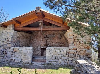
Km
Walking


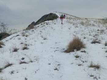
Km
Walking


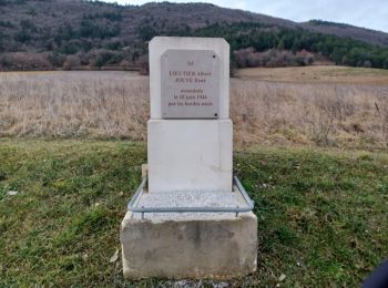
Km
Walking


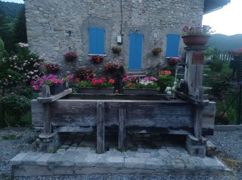
Km
Walking


Km
Walking


Km
Walking


Km
Walking


Km
Walking


Km
Walking


Km
Walking


Km
Walking


Km
Walking


Km
Walking


Km
Walking


Km
Walking


Km
Walking


Km
Walking


Km
Walking


Km
Walking


• Gorges du Verdon - de Point Sublime vers Encastel - AR ; jour de pluie
20 trails displayed on 7170
FREE GPS app for hiking
Activities
Nearby regions
- Aiglun
- Allemagne-en-Provence
- Allons
- Allos
- Angles
- Annot
- Archail
- Aubenas-les-Alpes
- Aubignosc
- Authon
- Auzet
- Banon
- Barcelonnette
- Barles
- Barras
- Barrême
- Bayons
- Beaujeu
- Beauvezer
- Bellaffaire
- Bevons
- Beynes
- Blieux
- Bras-d'Asse
- Braux
- Brunet
- Castellane
- Castellet-lès-Sausses
- Céreste
- Champtercier
- Château-Arnoux-Saint-Auban
- Châteaufort
- Châteauneuf-Miravail
- Châteauneuf-Val-Saint-Donat
- Châteauredon
- Chaudon-Norante
- Clamensane
- Claret
- Clumanc
- Colmars
- Corbières-en-Provence
- Cruis
- Curbans
- Curel
- Dauphin
- Demandolx
- Digne-les-Bains
- Draix
- Enchastrayes
- Entrages
- Entrepierres
- Entrevaux
- Entrevennes
- Esparron-de-Verdon
- Estoublon
- Faucon-de-Barcelonnette
- Faucon-du-Caire
- Fontienne
- Forcalquier
- Ganagobie
- Gigors
- Gréoux-les-Bains
- Hautes-Duyes
- Jausiers
- L'Escale
- L'Hospitalet
- La Brillanne
- La Condamine-Châtelard
- La Garde
- La Javie
- La Motte-du-Caire
- La Mure-Argens
- La Palud-sur-Verdon
- La Robine-sur-Galabre
- La Rochegiron
- La Rochette
- Lambruisse
- Lardiers
- Le Brusquet
- Le Caire
- Le Castellard-Mélan
- Le Castellet
- Le Chaffaut-Saint-Jurson
- Le Fugeret
- Le Lauzet-Ubaye
- Le Vernet
- Les Mées
- Les Omergues
- Les Thuiles
- Limans
- Lurs
- Majastres
- Malijai
- Mallefougasse-Augès
- Mallemoisson
- Mane
- Manosque
- Marcoux
- Méailles
- Melve
- Méolans-Revel
- Mézel
- Mirabeau
- Mison
- Montagnac-Montpezat
- Montclar
- Montfort
- Montfuron
- Montjustin
- Montlaux
- Montsalier
- Moriez
- Moustiers-Sainte-Marie
- Nibles
- Niozelles
- Noyers-sur-Jabron
- Ongles
- Oppedette
- Oraison
- Peipin
- Peyroules
- Peyruis
- Piégut
- Pierrerue
- Pierrevert
- Pontis
- Prads-Haute-Bléone
- Puimichel
- Puimoisson
- Quinson
- Redortiers
- Reillanne
- Revest-Saint-Martin
- Revest-des-Brousses
- Revest-du-Bion
- Riez
- Rougon
- Roumoules
- Saint-André-les-Alpes
- Saint-Benoît
- Saint-Étienne-les-Orgues
- Saint-Geniez
- Saint-Jacques
- Saint-Jeannet
- Saint-Julien-d'Asse
- Saint-Julien-du-Verdon
- Saint-Jurs
- Saint-Laurent-du-Verdon
- Saint-Lions
- Saint-Maime
- Saint-Martin-de-Brômes
- Saint-Martin-les-Eaux
- Saint-Martin-lès-Seyne
- Saint-Michel-l'Observatoire
- Saint-Paul-sur-Ubaye
- Saint-Pierre
- Saint-Pons
- Saint-Vincent-sur-Jabron
- Sainte-Croix-à-Lauze
- Sainte-Croix-du-Verdon
- Sainte-Tulle
- Salignac
- Saumane
- Sausses
- Selonnet
- Senez
- Seyne
- Sigonce
- Sigoyer
- Simiane-la-Rotonde
- Sisteron
- Soleilhas
- Sourribes
- Tartonne
- Thèze
- Thoard
- Thorame-Basse
- Thorame-Haute
- Turriers
- Ubaye-Serre-Ponçon
- Ubraye
- Uvernet-Fours
- Vachères
- Val-d'Oronaye
- Val-de-Chalvagne
- Valavoire
- Valbelle
- Valensole
- Valernes
- Vaumeilh
- Venterol
- Verdaches
- Vergons
- Villars-Colmars
- Villemus
- Villeneuve
- Volonne
- Volx


 SityTrail


