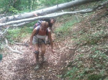
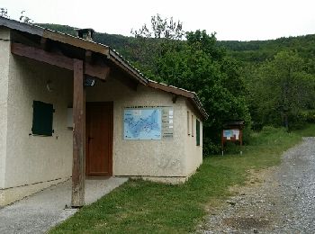
Venterol, Alpes-de-Haute-Provence: Best trails, routes and walks

2 comments

Venterol: Discover the best trails: 13 hiking trails and 2 bike and mountain-bike routes. All these trails, routes and outdoor activities are available in our SityTrail applications for smartphones and tablets.


The best trails (16)
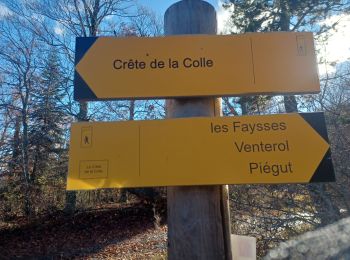
Trail Walking Venterol - Circuit des Hautes Terres VENTEROL - Photo
Walking 9.159
Km

Walking

Easy
Venterol, Provence-Alpes-Côte d'Azur, Alpes-de-Haute-Provence, France
9.2 km | 15.5 km-effort
3h 51min
473 m
469 m
Yes
BLANCHET

• PETITE RANDO EN SOUS-BOIS;

Trail Walking Venterol - venterol le mont seigneur - Photo
Walking 18.95
Km

Walking

Very easy
Venterol, Provence-Alpes-Côte d'Azur, Alpes-de-Haute-Provence, France
18.9 km | 29 km-effort
6h 42min
750 m
752 m
Yes
Didier.kiehl

• venterol plutôt sympa avec quelques difficultés
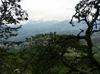
Trail Walking Venterol - venterol le mont seigneur - Photo
Walking 18.95
Km

Walking

Very easy
Venterol, Provence-Alpes-Côte d'Azur, Alpes-de-Haute-Provence, France
18.9 km | 29 km-effort
6h 42min
750 m
752 m
Yes
Didier.kiehl

• venterol plutôt sympa avec quelques difficultés
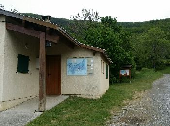
Trail Walking Venterol - venterol le mont seigneur - Photo
Walking 18.95
Km

Walking

Very easy
(1)
Venterol, Provence-Alpes-Côte d'Azur, Alpes-de-Haute-Provence, France
18.9 km | 29 km-effort
6h 42min
750 m
752 m
Yes
Didier.kiehl

• venterol plutôt sympa avec quelques difficultés

Trail Walking Venterol - URTIS . COL DE BUISSONET . SOM DE MONTSERIEUX . VENTEROL . O M S  - Photo
Walking 10.894
Km

Walking

Medium
(1)
Venterol, Provence-Alpes-Côte d'Azur, Alpes-de-Haute-Provence, France
10.9 km | 18.6 km-effort
4h 40min
566 m
620 m
No
RobinMicheline

Trail Walking Venterol - mon sérieux  - Photo
Walking 17.827
Km

Walking

Very difficult
Venterol, Provence-Alpes-Côte d'Azur, Alpes-de-Haute-Provence, France
17.8 km | 28 km-effort
5h 50min
755 m
753 m
Yes
moreauchristian

Trail Walking Venterol - Boucle par la crête de la Cuérate - Venterol - Photo
Walking 10.969
Km

Walking

Medium
Venterol, Provence-Alpes-Côte d'Azur, Alpes-de-Haute-Provence, France
11 km | 16.3 km-effort
3h 35min
398 m
405 m
Yes
rigol05

Trail Other activity Venterol - Urtis sommet de Serre Brouchon  - Photo
Other activity 10.09
Km

Other activity

Easy
Venterol, Provence-Alpes-Côte d'Azur, Alpes-de-Haute-Provence, France
10.1 km | 15.9 km-effort
4h 45min
436 m
435 m
Yes
malfil

• 26/04/2016

Trail Walking Venterol - Le sommet du Montsérieux (Venterol 04) - Photo
Walking 11.638
Km

Walking

Medium
Venterol, Provence-Alpes-Côte d'Azur, Alpes-de-Haute-Provence, France
11.6 km | 19.1 km-effort
3h 51min
559 m
559 m
Yes
Clo0413

Trail Walking Venterol - Le Sommet de Montsérieux - Photo
Walking 11.808
Km

Walking

Medium
Venterol, Provence-Alpes-Côte d'Azur, Alpes-de-Haute-Provence, France
11.8 km | 19.4 km-effort
4h 24min
567 m
566 m
Yes
Clo0413

Trail Walking Venterol - yo Venterol piegut - Photo
Walking 10.21
Km

Walking

Medium
Venterol, Provence-Alpes-Côte d'Azur, Alpes-de-Haute-Provence, France
10.2 km | 16.8 km-effort
4h 42min
495 m
494 m
Yes
jojo188

Trail Walking Venterol - retour Gap - Photo
Walking 24.382
Km

Walking

Difficult
Venterol, Provence-Alpes-Côte d'Azur, Alpes-de-Haute-Provence, France
24 km | 34 km-effort
5h 26min
659 m
980 m
No
bougnaou

Trail Walking Venterol - Mont Serieux - Photo
Walking 8.911
Km

Walking

Difficult
Venterol, Provence-Alpes-Côte d'Azur, Alpes-de-Haute-Provence, France
8.9 km | 16.1 km-effort
3h 39min
537 m
537 m
Yes
Clo0413

Trail Mountain bike Venterol - Vente rôle - Photo
Mountain bike 17.934
Km

Mountain bike

Medium
Venterol, Provence-Alpes-Côte d'Azur, Alpes-de-Haute-Provence, France
17.9 km | 28 km-effort
3h 19min
756 m
715 m
No
christinemoisset

Trail Road bike Venterol - Turriers Garcinet - Photo
Road bike 52.201
Km

Road bike

Medium
Venterol, Provence-Alpes-Côte d'Azur, Alpes-de-Haute-Provence, France
52 km | 66 km-effort
3h 3min
1058 m
1063 m
Yes
jlv05

Trail Walking Venterol - venterol - Photo
Walking 13.254
Km

Walking

Very easy
Venterol, Provence-Alpes-Côte d'Azur, Alpes-de-Haute-Provence, France
13.3 km | 21 km-effort
4h 56min
571 m
574 m
Yes
BLANCHET

16 trails displayed on 16

FREE GPS app for hiking

Logo SityTrail SityTrail

IGN / Geographical institutes

Download SityTrail from the App Store Download SityTrail from Google Play

Logo SityTrail SityTrail World

The world is yours!

Download SityTrail from the App Store Download SityTrail from Google Play Download SityTrail on Huawei AppGallery

Activities

Close
My subscriptions