


7.4 km | 11.1 km-effort
La Condamine-Châtelard: Discover the best trails: 33 hiking trails and 3 bike and mountain-bike routes. All these trails, routes and outdoor activities are available in our SityTrail applications for smartphones and tablets.
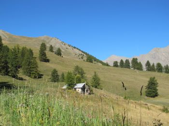
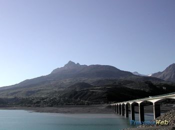
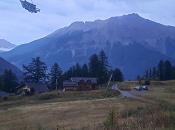
Walking


Walking
Snowshoes
Walking

Snowshoes

Walking
• départ côté Condamine
Walking

Walking
Walking
Walking
Snowshoes
Walking
• Hors sentier à 80%
Mountain bike

Snowshoes
Walking

Walking
Walking
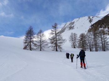
Touring skiing
Walking

On foot
20 trails displayed on 52
FREE GPS app for hiking
 SityTrail
IGN / Geographical institutes
SityTrail World
The world is yours!