


12.1 km | 20 km-effort
Thorame-Haute: Discover the best trails: 48 hiking trails and 13 bike and mountain-bike routes. All these trails, routes and outdoor activities are available in our SityTrail applications for smartphones and tablets.
Walking


Walking
Walking
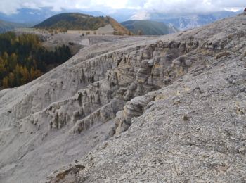
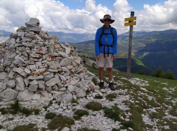
• pic de courradour par Peyresq, depuis arrêt de Peyresq
Walking
Walking
Cross-country skiing

Mountain bike
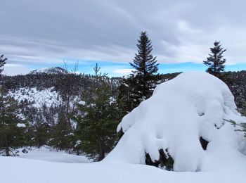
Snowshoes
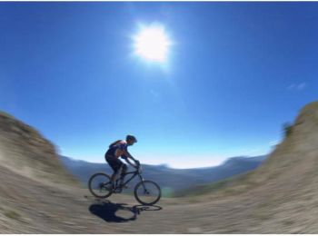
Mountain bike

Walking
Walking

Mountain bike
Walking
Walking
Walking
Walking
Walking

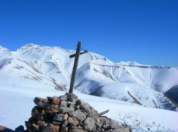
Snowshoes
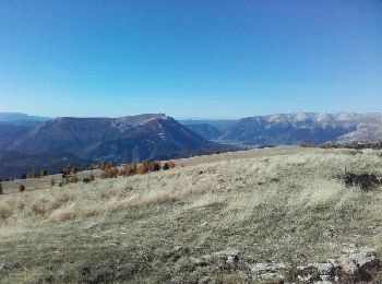
• A/R montée régulière en neige et vent très fort
Walking
Walking
20 trails displayed on 67
FREE GPS app for hiking
 SityTrail
IGN / Geographical institutes
SityTrail World
The world is yours!