Valbelle, Alpes-de-Haute-Provence: Best trails, routes and walks

2 comments

Valbelle: Discover the best trails: 35 hiking trails and 1 bike and mountain-bike routes. All these trails, routes and outdoor activities are available in our SityTrail applications for smartphones and tablets.


The best trails (38)
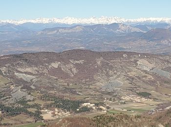
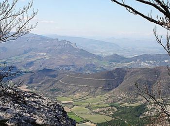
Trail Walking Valbelle - 05 chap st Pons col sumiou zel - Photo
Walking 10.991
Km
GUIDE

Walking

Difficult
Valbelle, Provence-Alpes-Côte d'Azur, Alpes-de-Haute-Provence, France
11 km | 21 km-effort
5h 40min
748 m
747 m
Yes
randodyssée

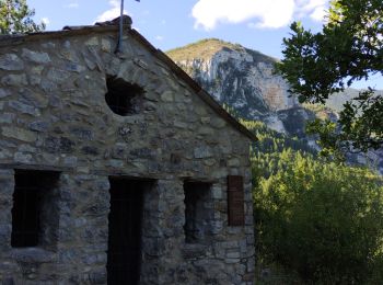
Trail Walking Valbelle - chapelle saint Pont et montagne Sumiou - Photo
Walking 21.103
Km
GUIDE

Walking

Difficult
Valbelle, Provence-Alpes-Côte d'Azur, Alpes-de-Haute-Provence, France
21 km | 34 km-effort
5h 11min
995 m
1004 m
Yes
nadd73

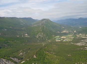
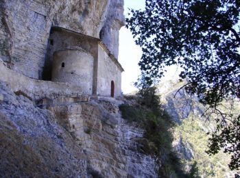
Trail Walking Valbelle - 04 chapelle St Pons 03.08.23 - Photo
Walking 8.182
Km
GUIDE

Walking

Difficult
Valbelle, Provence-Alpes-Côte d'Azur, Alpes-de-Haute-Provence, France
8.2 km | 13.6 km-effort
3h 27min
413 m
393 m
No
randodyssée

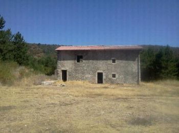
Trail On foot Valbelle - Montagne de Lure - Photo
On foot 20.05
Km
GUIDE

On foot

Difficult
Valbelle, Provence-Alpes-Côte d'Azur, Alpes-de-Haute-Provence, France
20 km | 35 km-effort
7h 54min
1105 m
1102 m
Yes
Marco05

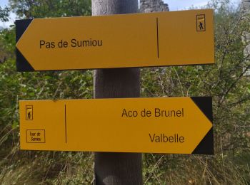
Trail Walking Valbelle - Tour de Sumiou - Photo
Walking 13.41
Km
GUIDE

Walking

Difficult
Valbelle, Provence-Alpes-Côte d'Azur, Alpes-de-Haute-Provence, France
13.4 km | 23 km-effort
5h 14min
726 m
719 m
No
Marco05

Trail Walking Valbelle - Valbelle - Chapelle Saint Pons - Photo
Walking 5.5
Km
GUIDE

Walking

Medium
(1)
Valbelle, Provence-Alpes-Côte d'Azur, Alpes-de-Haute-Provence, France
5.5 km | 10.6 km-effort
2h 20min
385 m
386 m
Yes
R@ph

Trail Walking Valbelle - valbelle St pons - Photo
Walking 12.643
Km
GUIDE

Walking

Difficult
Valbelle, Provence-Alpes-Côte d'Azur, Alpes-de-Haute-Provence, France
12.6 km | 24 km-effort
7h 53min
838 m
842 m
Yes
Danielba

Trail Walking Valbelle -  Chapelle St Pons  - Photo
Walking 8.399
Km

Walking

Difficult
Valbelle, Provence-Alpes-Côte d'Azur, Alpes-de-Haute-Provence, France
8.4 km | 14.3 km-effort
3h 29min
443 m
431 m
Yes
cousam

Trail Walking Valbelle - cirque de Valbelle  - Photo
Walking 18.39
Km

Walking

Very difficult
Valbelle, Provence-Alpes-Côte d'Azur, Alpes-de-Haute-Provence, France
18.4 km | 31 km-effort
7h 4min
942 m
946 m
Yes
marie04

Trail Trail Valbelle - 13983 t16086 TraceGps issued - Photo
Trail 15.342
Km

Trail

Very difficult
Valbelle, Provence-Alpes-Côte d'Azur, Alpes-de-Haute-Provence, France
15.3 km | 27 km-effort
2h 30min
894 m
894 m
Yes
phd04

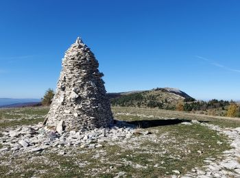
Trail Running Valbelle - Cairn 2000 - Valbelle - Photo
Running 15.341
Km

Running

Very difficult
Valbelle, Provence-Alpes-Côte d'Azur, Alpes-de-Haute-Provence, France
15.3 km | 27 km-effort
2h 30min
891 m
891 m
Yes
tracegps

Trail Running Valbelle - Sumiou - Lure - Saint-Pons - Photo
Running 24.443
Km

Running

Very difficult
Valbelle, Provence-Alpes-Côte d'Azur, Alpes-de-Haute-Provence, France
24 km | 43 km-effort
2h 30min
1408 m
1411 m
Yes
tracegps

Trail Walking Valbelle - Sumiou - Lure - Saint-Pons - Photo
Walking 24.443
Km

Walking

Very difficult
Valbelle, Provence-Alpes-Côte d'Azur, Alpes-de-Haute-Provence, France
24 km | 43 km-effort
8h 30min
1408 m
1411 m
Yes
tracegps

Trail Walking Valbelle - Valbelle lure sumiou 19.7kms 1115m  - Photo
Walking 18.471
Km
GUIDE

Walking

Difficult
Valbelle, Provence-Alpes-Côte d'Azur, Alpes-de-Haute-Provence, France
18.5 km | 32 km-effort
8h 14min
1021 m
1020 m
Yes
Danielba

Trail Walking Valbelle - lure - Photo
Walking 3.496
Km

Walking

Easy
Valbelle, Provence-Alpes-Côte d'Azur, Alpes-de-Haute-Provence, France
3.5 km | 6 km-effort
1h 40min
187 m
187 m
Yes
EricLucchesi

Trail Walking Valbelle - Rando 27/06/2022 - Photo
Walking 21.195
Km

Walking

Very difficult
Valbelle, Provence-Alpes-Côte d'Azur, Alpes-de-Haute-Provence, France
21 km | 36 km-effort
7h 49min
1127 m
1126 m
Yes
phd04

Trail Walking Valbelle - VALBELLE . Chemin de Sara o l s - Photo
Walking 13.239
Km

Walking

Medium
(1)
Valbelle, Provence-Alpes-Côte d'Azur, Alpes-de-Haute-Provence, France
13.2 km | 19.7 km-effort
4h 47min
481 m
481 m
Yes
RobinMicheline

Trail Trail Valbelle - t16321 TraceGps issued - Photo
Trail 17.442
Km

Trail

Difficult
Valbelle, Provence-Alpes-Côte d'Azur, Alpes-de-Haute-Provence, France
17.4 km | 30 km-effort
2h 30min
940 m
943 m
Yes
phd04

Trail Running Valbelle -  Tour du cirque de Valbelle - Photo
Running 17.441
Km

Running

Difficult
Valbelle, Provence-Alpes-Côte d'Azur, Alpes-de-Haute-Provence, France
17.4 km | 30 km-effort
2h 30min
939 m
942 m
Yes
tracegps

Trail Walking Valbelle - 04 Valbelle, chapelle de St Pons  - Photo
Walking 10.552
Km

Walking

Difficult
Valbelle, Provence-Alpes-Côte d'Azur, Alpes-de-Haute-Provence, France
10.6 km | 22 km-effort
5h 0min
856 m
859 m
Yes
Cosmos

20 trails displayed on 38

FREE GPS app for hiking

Logo SityTrail SityTrail

IGN / Geographical institutes

Download SityTrail from the App Store Download SityTrail from Google Play

Logo SityTrail SityTrail World

The world is yours!

Download SityTrail from the App Store Download SityTrail from Google Play Download SityTrail on Huawei AppGallery

Activities

Close
My subscriptions