SityTrail+
Dear hiking friends,
Step into a new era of hiking with SityTrail+ 🚀
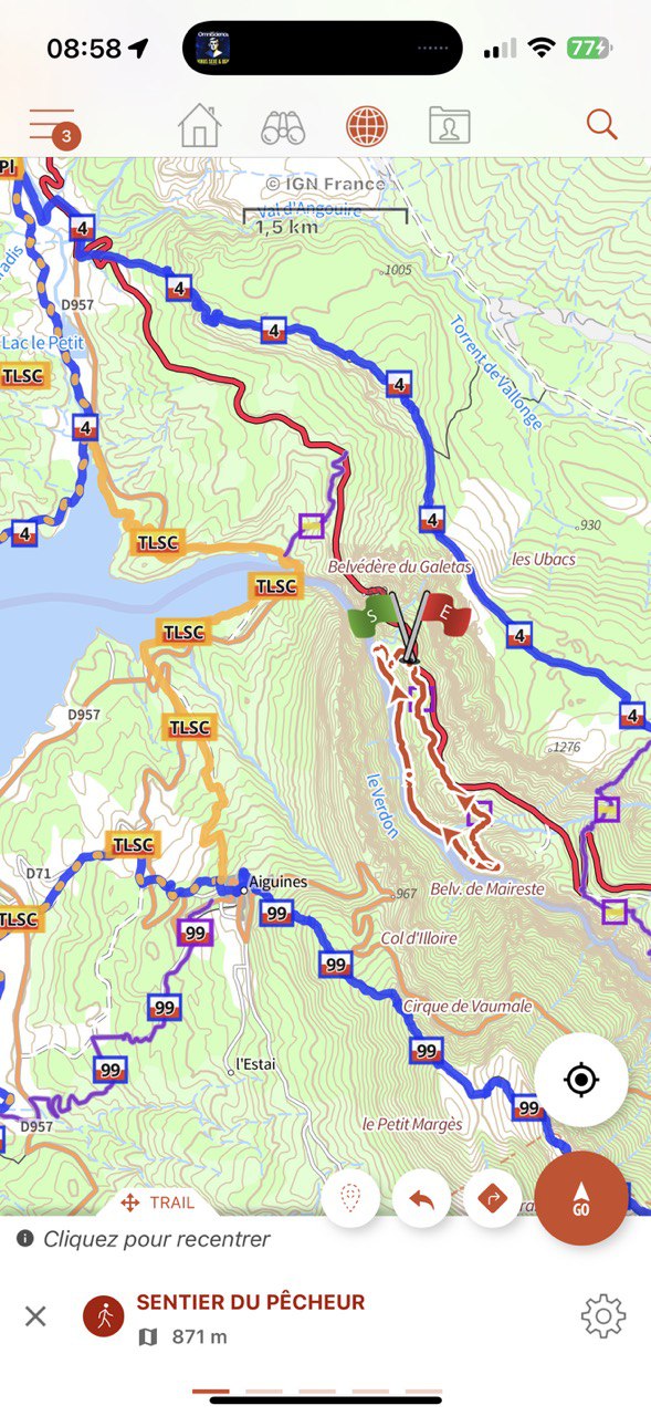
🎯 Discover your new vector topographic maps
➡️ Sharper, with always-readable oriented place names
➡️ Much faster offline downloads
➡️ File sizes 10 times smaller
➡️ Multiple countries: France, Switzerland, Luxembourg, United Kingdom
➡️ Downloadable hiking, cycling, and ski trail networks
🌍 And of course, our Geolives World Topo Maps!
🎯 Try them for free via our interactive map
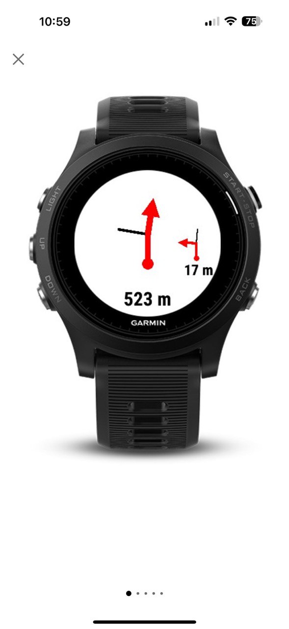
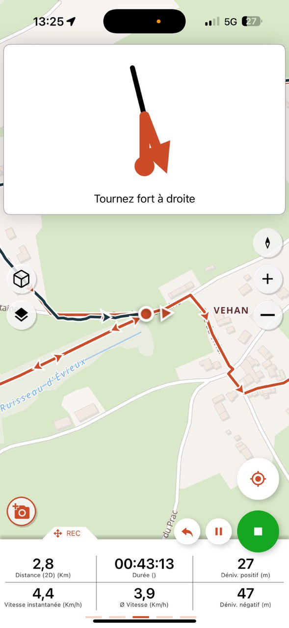
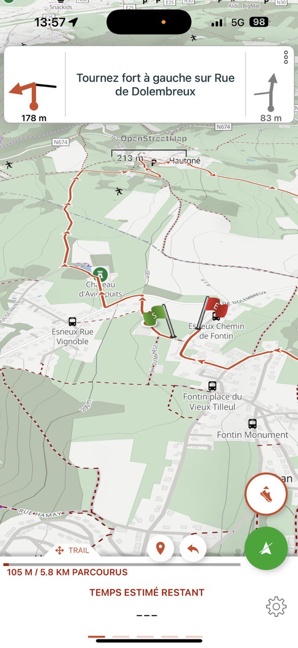
But that’s not all: SityTrail+ now guides you like never before with its automatic Roadbook system, creating realistic symbols at intersections along your route.
🧭 Available on Android and iPhone smartphones, Garmin and Wear OS watches… and even budget-friendly smartwatches with Smart Notifications ©NavCode
🌍 Explore your trails like never before 🚀