


28 km | 37 km-effort
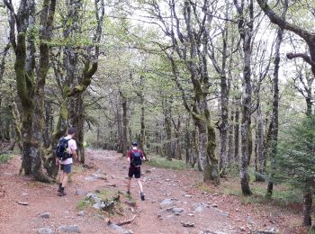
Vosges: Discover the best trails: 4,540 hiking trails, 1,061 bike and mountain-bike routes and 384 equestrian circuits. All these trails, routes and outdoor activities are available in our SityTrail applications for smartphones and tablets.
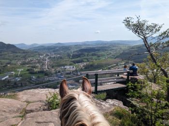
Horseback riding


Horseback riding
Walking
Walking
Walking
Walking
Walking
Walking
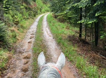
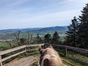
Horseback riding
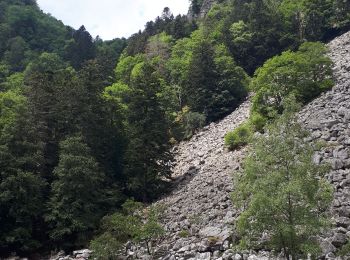
Walking
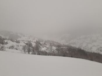
Walking
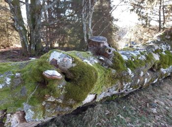
Walking
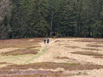
Walking
Walking
Walking
Nordic walking
Mountain bike
Walking
Walking
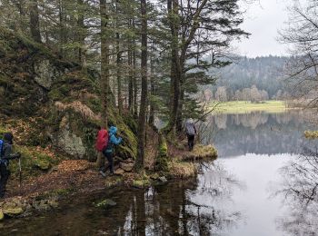
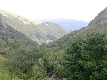
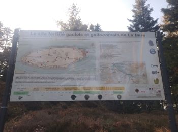
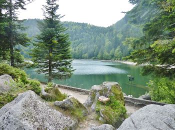
• Le lac des Corbeaux est un lac glaciaire de 9 hectares situé à 887 mètres d'altitude sur la commune de La Bresse dans...
Walking
20 trails displayed on 6516
FREE GPS app for hiking
 SityTrail
IGN / Geographical institutes
SityTrail World
The world is yours!