


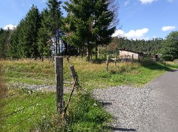
7.4 km | 10 km-effort
Bruyères: Discover the best trails: 10 hiking trails and 35 bike and mountain-bike routes. All these trails, routes and outdoor activities are available in our SityTrail applications for smartphones and tablets.
Walking


Mountain bike
Other activity
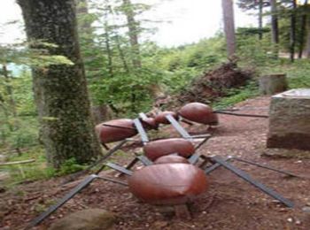
• fouchon
Walking
Mountain bike
Mountain bike
Mountain bike

Mountain bike
Mountain bike
Mountain bike
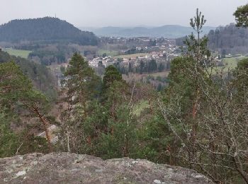
• varié en belle forêt
Mountain bike
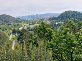
• variée
Mountain bike
• super
Mountain bike
Mountain bike

Walking
Mountain bike
Walking
Walking
Walking
Walking
20 trails displayed on 46
FREE GPS app for hiking
 SityTrail
IGN / Geographical institutes
SityTrail World
The world is yours!