


15.6 km | 25 km-effort
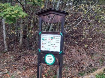
Cornimont: Discover the best trails: 63 hiking trails and 12 bike and mountain-bike routes. All these trails, routes and outdoor activities are available in our SityTrail applications for smartphones and tablets.
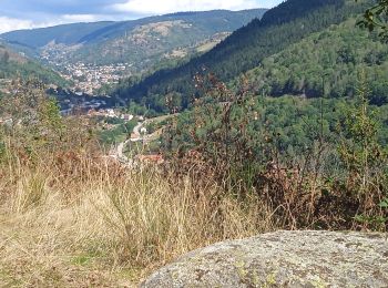
Walking


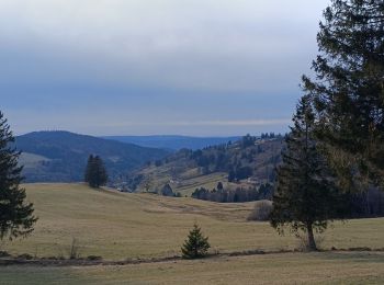
• Sous le couvert de la forêt vosgienne, à faire par grande chaleur.
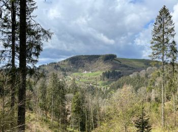
Walking

Electric bike
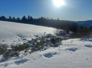
Snowshoes
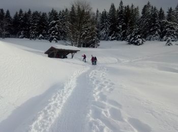
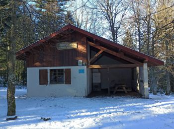
Snowshoes
Walking
Mountain bike
Walking
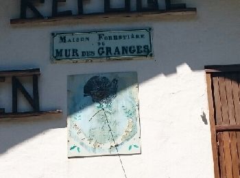
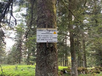
• col du Brabant, col de la vierge, chaume du grand Ventron(étape nuit), Mur des Granges et retour au Brabant.
Walking
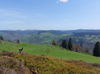
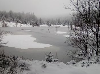
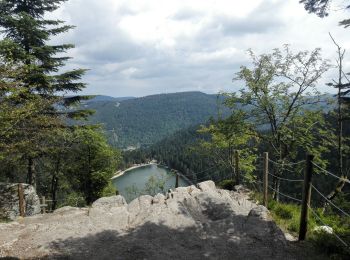
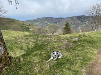
• Agréable randonnée en balcon au départ de La Roche des Chats vers le Raindé, la Basse des Faignes, l'Etang de Jemnauf...
Walking
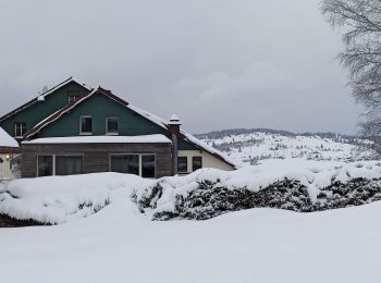
Snowshoes
Walking
Walking
Walking

On foot
• Trail created by Club Vosgien.
On foot
• Trail created by Club Vosgien.
Walking
Walking
Touring skiing
Walking
20 trails displayed on 88
FREE GPS app for hiking
 SityTrail
IGN / Geographical institutes
SityTrail World
The world is yours!