


89 km | 126 km-effort
Alpes de Alta Provenza: Descubra las mejores excursiones: 205 a pie, 5015 senderismo, 49 marcha nórdica, 136 carrera y 68 ruta. Todos estos circuitos, recorridos, itinerarios y actividades al aire libre están disponibles en nuestras aplicaciones SityTrail para smartphone y tablet.

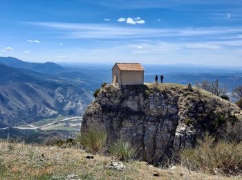
Senderismo


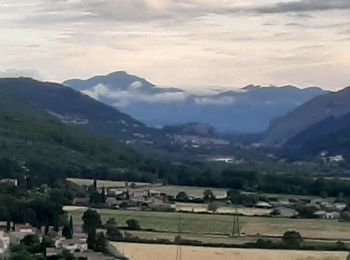
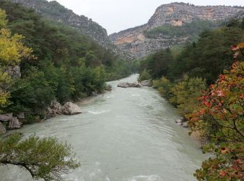
• Gorge du Verdon
Senderismo
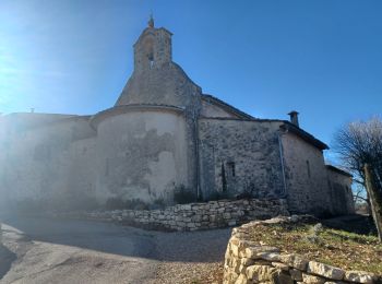
Senderismo
Senderismo
Senderismo
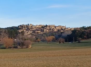
Senderismo
Senderismo
Senderismo
Senderismo

Senderismo
Senderismo
Senderismo
Senderismo
Senderismo
Senderismo
Senderismo
Senderismo

Senderismo
Senderismo
Senderismo
• Gorges du Verdon - de Point Sublime vers Encastel - AR ; jour de pluie
20 excursiones mostradas en 5459
Aplicación GPS de excursión GRATIS
 SityTrail
IGN / Institutos geográficos
SityTrail World
El mundo es suyo