


13,1 km | 20 km-effort
Sisteron: Descubra las mejores excursiones: 1 a pie, 63 senderismo, 4 carrera y 4 ruta. Todos estos circuitos, recorridos, itinerarios y actividades al aire libre están disponibles en nuestras aplicaciones SityTrail para smartphone y tablet.
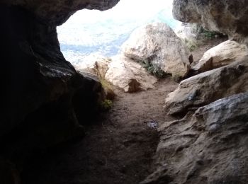
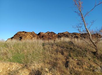
Senderismo


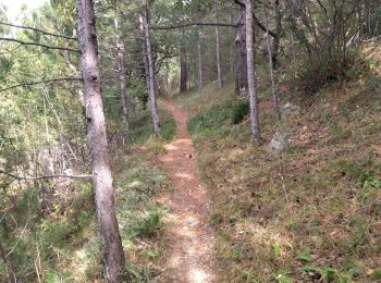
Senderismo
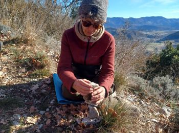
Senderismo

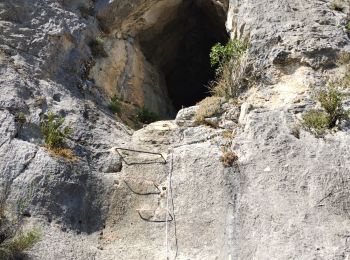
Senderismo

Senderismo
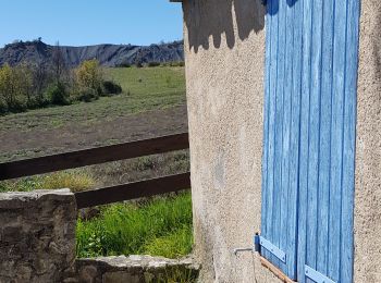
Senderismo
Senderismo

Senderismo
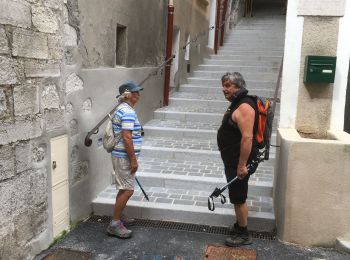
Senderismo

Senderismo
•

Senderismo
Senderismo
Senderismo
Senderismo
Senderismo

Senderismo
Senderismo
Senderismo
Senderismo

Senderismo
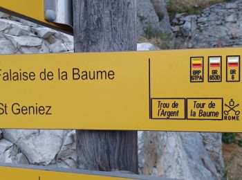
• ALTA-14-N°0313F34-GR653D
20 excursiones mostradas en 72
Aplicación GPS de excursión GRATIS
 SityTrail
IGN / Institutos geográficos
SityTrail World
El mundo es suyo