


8,7 km | 18 km-effort
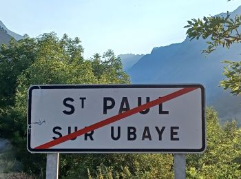
Saint-Paul-sur-Ubaye: Descubra las mejores excursiones: 3 a pie, 244 senderismo, 1 marcha nórdica, 1 carrera y 5 ruta. Todos estos circuitos, recorridos, itinerarios y actividades al aire libre están disponibles en nuestras aplicaciones SityTrail para smartphone y tablet.
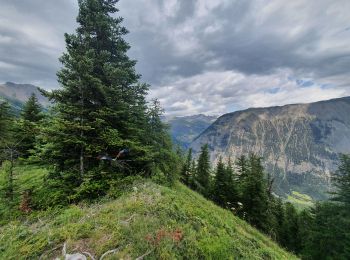
Senderismo


Senderismo
Senderismo
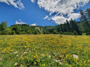
A pie
• Symbol: red bar on blue background
Senderismo
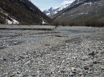
• Se garer vers la cote 1720 à la Blachière sur la route qui monte à Maljasset. Un sentier très raide dès le départ rem...
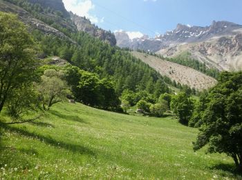
Senderismo
Senderismo
Senderismo
Senderismo
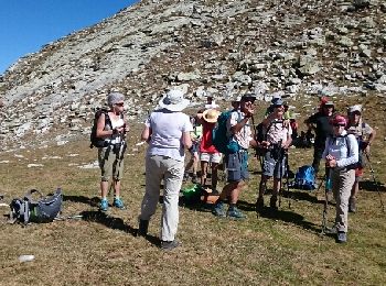
Senderismo
Senderismo
Senderismo
Senderismo
Senderismo
• souvent hors piste le debut sentier cairne
Senderismo
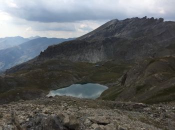
• Par les lacs de Marinet

Senderismo
• Sentier forestier facile
Senderismo
• Du parking de Fouillouse traverser le village puis montée en direction du refuge du Chambeyron et ensuite montée an l...
Senderismo
Senderismo
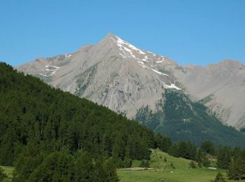
• Très jolie ballade à faire en début de saison. A Maurin grande faune abondante (Chevreuils, Bouquetins, Marmottes, Ch...
Senderismo
20 excursiones mostradas en 254
Aplicación GPS de excursión GRATIS
 SityTrail
IGN / Institutos geográficos
SityTrail World
El mundo es suyo