RobinMicheline

GUIDE Offline

Trails

Trail Walking Sainte-Colombe - SAINTE COLOMBE . 05 . Pas de Sainte  Colombe o m s - Photo
Walking
GUIDE
RobinMicheline

Walking

Medium
Sainte-Colombe, Provence-Alpes-Côte d'Azur, Hautes-Alpes, France
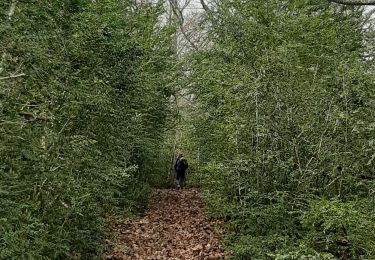
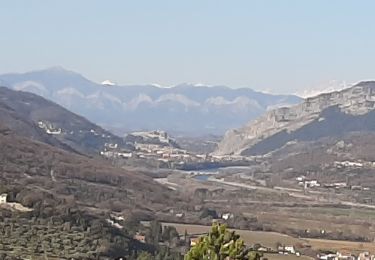
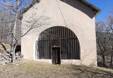
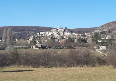
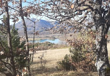
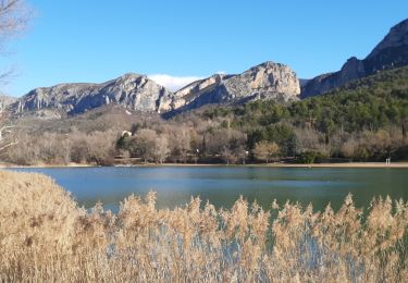
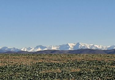
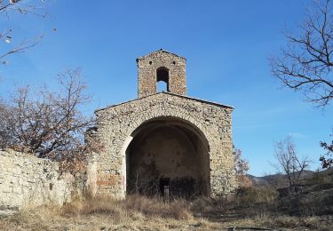
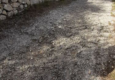
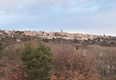
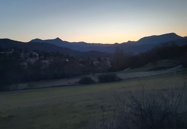
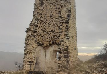
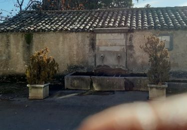
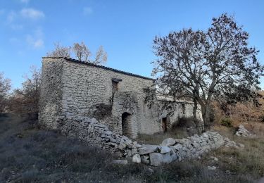
8 km | 13.3 km-effort
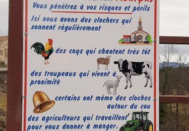
2h 56min
Yes
Trail Walking Peipin - PEIPIN Aubignosc,  le pas des Bœufs,  a D , Ravin des Buis , les Roubines o n s  - Photo
Walking
GUIDE
RobinMicheline

Walking

Easy
Peipin, Provence-Alpes-Côte d'Azur, Alpes-de-Haute-Provence, France
9.6 km | 12.8 km-effort
2h 31min
Yes
Trail Walking Remollon - REMOLON Les demoiselles coiffées,  Chapelle S Philippine  .Tueuse o n l - Photo
Walking
GUIDE
RobinMicheline

Walking

Medium
Remollon, Provence-Alpes-Côte d'Azur, Hautes-Alpes, France
13.8 km | 22 km-effort
4h 0min
Yes
Trail Walking Banon - BANON Les Chastellas . Aven de Courtin . Hameau  ruiné  des Plaines n - Photo
Walking
GUIDE
RobinMicheline

Walking

Easy
Banon, Provence-Alpes-Côte d'Azur, Alpes-de-Haute-Provence, France
12.4 km | 17.3 km-effort
3h 33min
Yes
Trail Walking Garde-Colombe - SAINT GENIS Dep lac du Riou . Forte Sereine  gorges du Riou o m s    - Photo
Walking
GUIDE
RobinMicheline

Walking

Medium
Garde-Colombe, Provence-Alpes-Côte d'Azur, Hautes-Alpes, France
10.6 km | 17.4 km-effort
3h 10min
Yes
Trail Walking Orpierre - ORPIERRES  le Suillet court Larag o - Photo
Walking
GUIDE
RobinMicheline

Walking

Medium
Orpierre, Provence-Alpes-Côte d'Azur, Hautes-Alpes, France
9.1 km | 17.5 km-effort
3h 25min
Yes
Trail Walking Moustiers-Sainte-Marie - MOUSTIERS Le tour de Repentance n o - Photo
Walking
GUIDE
RobinMicheline

Walking

Medium
Moustiers-Sainte-Marie, Provence-Alpes-Côte d'Azur, Alpes-de-Haute-Provence, France
14.5 km | 19.8 km-effort
3h 59min
Yes
Trail Walking Trescléoux - TRESCLEOUX Les granges de la montagne o s  - Photo
Walking
GUIDE
RobinMicheline

Walking

Medium
(1)
Trescléoux, Provence-Alpes-Côte d'Azur, Hautes-Alpes, France
9.5 km | 16.6 km-effort
2h 54min
Yes
Trail Walking Montfort - MONTFORT.  Voie Royale . Chapelle saint Donat . Trou de l Hermite  o .t  - Photo
Walking
GUIDE
RobinMicheline

Walking

Medium
(1)
Montfort, Provence-Alpes-Côte d'Azur, Alpes-de-Haute-Provence, France
11.8 km | 15.3 km-effort
2h 59min
No
Trail Walking Le Castellet - ENTREVENNES . TOUR DU COLOMBIER n - Photo
Walking
GUIDE
RobinMicheline

Walking

Medium
Le Castellet, Provence-Alpes-Côte d'Azur, Alpes-de-Haute-Provence, France
18.7 km | 23 km-effort
4h 19min
Yes
Trail On foot Mallemoisson - Route Napoléon - Photo
On foot
GUIDE
RobinMicheline

On foot

Medium
Mallemoisson, Provence-Alpes-Côte d'Azur, Alpes-de-Haute-Provence, France
15.5 km | 22 km-effort
Unknown
No
Trail Walking Mirabeau - MIRABEAU . LE CHATEAU . COL DES PENITENTS .  AR .  o n  - Photo
Walking
GUIDE
RobinMicheline

Walking

Medium
Mirabeau, Provence-Alpes-Côte d'Azur, Alpes-de-Haute-Provence, France
13 km | 17.4 km-effort
3h 22min
No
Trail Walking Peipin - CORBIERRES . LE TROU DU LOUP o s - Photo
Walking
GUIDE
RobinMicheline

Walking

Medium
Peipin, Provence-Alpes-Côte d'Azur, Alpes-de-Haute-Provence, France
59 km | 91 km-effort
3h 29min
No
Trail Walking Puimoisson - PUIMOISSON RIEZ o n  - Photo
Walking
GUIDE
RobinMicheline

Walking

Medium
Puimoisson, Provence-Alpes-Côte d'Azur, Alpes-de-Haute-Provence, France
15.7 km | 19.8 km-effort
3h 34min
Yes
Trail Walking Mirabeau - MIRABEAU Ravin de Barbarrine , Bastide Blanche , le Ruth , Col des Penitents , la Colette , o l - Photo
Walking
GUIDE
RobinMicheline

Walking

Medium
Mirabeau, Provence-Alpes-Côte d'Azur, Alpes-de-Haute-Provence, France
15.5 km | 23 km-effort
3h 59min
Yes
Trail Walking Sigonce - SIGONCE , la boucle de l Asseroux , La Blache , le Revest , le Vieux Montlaux  , o n  - Photo
Walking
GUIDE
RobinMicheline

Walking

Medium
Sigonce, Provence-Alpes-Côte d'Azur, Alpes-de-Haute-Provence, France
14.8 km | 21 km-effort
3h 32min
Yes
Trail Walking Ongles - ONGLES Sentier de Seignes Lardiers Ongles o n  - Photo
Walking
GUIDE
RobinMicheline

Walking

Medium
Ongles, Provence-Alpes-Côte d'Azur, Alpes-de-Haute-Provence, France
17.6 km | 22 km-effort
4h 6min
Yes
Trail Walking Mallefougasse-Augès - CHATEAU NEUF VAL SAINT DONNAT . Chapelle ST Magdeleine , bory de Baribarin , body d Emilie , jas de Mathieu , body de Mathieu  , bergerie de Combe Belle , bory vieille , body haute , body basse , o n d - Photo
Walking
GUIDE
RobinMicheline

Walking

Difficult
Mallefougasse-Augès, Provence-Alpes-Côte d'Azur, Alpes-de-Haute-Provence, France
14.9 km | 23 km-effort
4h 28min
Yes
Trail Walking Mallefougasse-Augès - MALEFOUGASSE La Ronde des Jas , Jas Figuiere  , Aubert , L Ami , Calais  , Trou Redon etc o - Photo
Walking
GUIDE
RobinMicheline

Walking

Medium
(1)
Mallefougasse-Augès, Provence-Alpes-Côte d'Azur, Alpes-de-Haute-Provence, France
13.2 km | 20 km-effort
4h 23min
Yes
Trail Walking Châteauneuf-Val-Saint-Donat - CHATEAU NEUF VAL SAINT DONAT Jas de l ami , Jas de Calais , Chemin des Bouis des Bœufs n - Photo
Walking
GUIDE
RobinMicheline

Walking

Medium
Châteauneuf-Val-Saint-Donat, Provence-Alpes-Côte d'Azur, Alpes-de-Haute-Provence, France
14 km | 22 km-effort
4h 6min
Yes
Trail Walking Crots - LES  CROTS Boscodon  ,Fontaine de l Ours   ,sentier des Pyramides    cirque du Morgon o m - Photo
Walking
GUIDE
RobinMicheline

Walking

Difficult
Crots, Provence-Alpes-Côte d'Azur, Hautes-Alpes, France
12.6 km | 22 km-effort
4h 10min
Yes

Close
My subscriptions