


15.3 km | 25 km-effort
Lombardy: Discover the best trails: 1,118 hiking trails and 23 bike and mountain-bike routes. All these trails, routes and outdoor activities are available in our SityTrail applications for smartphones and tablets.
Walking


Walking

Walking
Walking
Walking
On foot
• Trail created by Vivilavalsabbia.
On foot
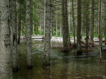
• Trail created by Sci di fondo Gaver.
On foot
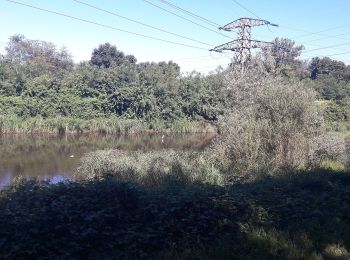
• Trail created by Parco lombardo della Valle del Ticino.
On foot
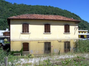
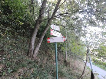
• Trail created by Comune di Roè Volciano.
On foot
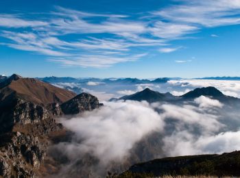
• Trail created by Parco dell'Adamello.
On foot
• Symbol: red-white-red vertical stripes with a black text "4"
On foot
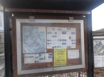
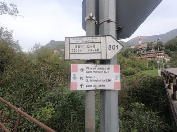
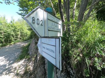
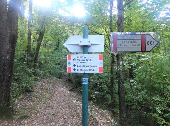
• Trail created by Comunità Montana Valle San Martino.
On foot
• Trail created by Comunità Montana Valle San Martino.
On foot
• Trail created by Comunità Montana Valle San Martino.
On foot
• Trail created by Comune di Torre de Busi.
On foot
• Trail created by Comunità Montana Valle San Martino.
On foot
• Trail created by Comunità Montana Valle San Martino.
On foot
• Trail created by Comunità Montana Valle San Martino.
On foot
• Trail created by Comunità Montana Valle San Martino.
On foot
• Trail created by Comunità Montana Valle San Martino.
20 trails displayed on 1157
FREE GPS app for hiking
 SityTrail
IGN / Geographical institutes
SityTrail World
The world is yours!