
- Trails
- Outdoor
- Germany
- North Rhine-Westphalia
- Kreis Höxter
Kreis Höxter, North Rhine-Westphalia: Best trails, routes and walks
Kreis Höxter: Discover the best trails: 92 hiking trails. All these trails, routes and outdoor activities are available in our SityTrail applications for smartphones and tablets.
The best trails (92)

Km
On foot


• Trail created by Eggegebirgsverein.

Km
On foot


• Trail created by Eggegebirgsverein.
Km
On foot


• Trail created by Eggegebirgsverein.
Km
On foot


• Trail created by Eggegebirgsverein. Symbol: White text "A9" on black background
Km
On foot


• Trail created by Eggegebirgsverein.
Km
On foot


• Symbol: grün, blau, gelbes Logo
Km
On foot


• Symbol: Stilisierter Stiel u. Blatt eines Apfels auf weißem Grund mit Kammolch
Km
On foot


• Symbol: Stilisierter Stiel u. Blatt eines Apfels auf weißem Grund
Km
On foot


• Symbol: weisses Fenster auf braunem Grund
Km
On foot


• Die Weserhöhen-Wanderung "Rund um den Heineberg" ist eine schöne Waldwanderung. Auf festen Wegen geht es durch ein Na...
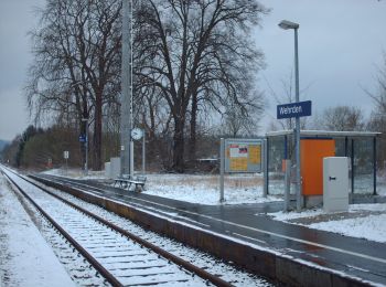
Km
On foot


• Website: https://www.teutoburgerwald.de/wandern-radfahren/in-der-natur/tour/weserhoehen-wanderung-die-blankenauer-r...

Km
On foot


• Rundwanderung durch Wald, Feld und Flur mit schönen Aussichten ins Weser- und ins Nethetal. Es werden Waldwege und la...
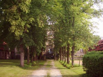
Km
On foot


• Trail created by Arbeitsgruppe Ortsheimatpflege Warburg - Welda.
Km
On foot


• Trail created by Arbeitsgruppe Ortsheimatpflege Warburg - Welda.

Km
On foot


• Trail created by Arbeitsgruppe Ortsheimatpflege Warburg - Welda.

Km
On foot


• Trail created by Arbeitsgruppe Ortsheimatpflege Warburg - Welda.
Km
On foot


• Symbol: weiße 5 in stilisiertem weißen Treppengiebelhaus auf schwarzem Grund
Km
On foot


• Symbol: Weißes V auf rotem Grund
Km
On foot


• Symbol: Weißes V auf rotem Grund
![Trail On foot Steinheim - Rundwanderweg A1 [Grevenhagen] - Photo](https://media.geolcdn.com/t/350/260/202ac17e-dbff-44d1-b3d9-93eb341f466c.jpeg&format=jpg&maxdim=2)
Km
On foot


• Symbol: weiße Schrift "A1" auf schwarzem Grund
20 trails displayed on 92
FREE GPS app for hiking


 SityTrail


