![](/images/other/stat-length.png)
- Trails
- Outdoor
- Germany
- North Rhine-Westphalia
- Kreis Höxter
- Willebadessen
Willebadessen, Kreis Höxter: Best trails, routes and walks
Willebadessen: Discover the best trails: 13 hiking trails. All these trails, routes and outdoor activities are available in our SityTrail applications for smartphones and tablets.
The best trails (13)
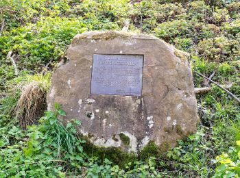
![Trail On foot Willebadessen - Erlesene Natur - Schmetterlingspfad Willebadessen - Photo](https://media.geolcdn.com/t/350/260/1d1e46bc-a96d-4488-b777-85fd542936a8.jpeg&format=jpg&maxdim=2)
![On foot On foot](https://static1.geolcdn.com/sitytour/trail-icons/100.png)
Km
On foot
![](/images/other/stat-length.png)
![](https://static1.geolcdn.com/siteimages/upload/files/1508320355ic_sort_den_pos_24dp.png)
![](https://static1.geolcdn.com/siteimages/upload/files/1508320355ic_sort_den_neg_24dp.png)
![](https://static1.geolcdn.com/siteimages/upload/files/16400158638029165_repeat_loop_refresh_sync_direction_icon.png)
• Trail created by Zweckverband Naturpark Teutoburger Wald / Eggegebirge, Detmold. Symbol: green leaf on a black stem
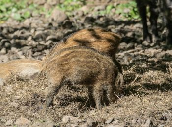
![Trail On foot Willebadessen - Hitgenheierweg (Willebadessen) - Photo](https://media.geolcdn.com/t/350/260/0f673616-b441-4982-8531-e7d24287f826.jpeg&format=jpg&maxdim=2)
![On foot On foot](https://static1.geolcdn.com/sitytour/trail-icons/100.png)
Km
On foot
![](/images/other/stat-length.png)
![](https://static1.geolcdn.com/siteimages/upload/files/1508320355ic_sort_den_pos_24dp.png)
![](https://static1.geolcdn.com/siteimages/upload/files/1508320355ic_sort_den_neg_24dp.png)
![](https://static1.geolcdn.com/siteimages/upload/files/16400158638029165_repeat_loop_refresh_sync_direction_icon.png)
• Trail created by Stadt Willebadessen. Symbol: white circle on black background
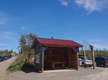
![Trail On foot Willebadessen - Alte Eisenbahn Rundweg A3 - Photo](https://media.geolcdn.com/t/350/260/8e1b92af-1267-457b-97f8-a4e1ca714322.jpeg&format=jpg&maxdim=2)
![On foot On foot](https://static1.geolcdn.com/sitytour/trail-icons/100.png)
Km
On foot
![](/images/other/stat-length.png)
![](https://static1.geolcdn.com/siteimages/upload/files/1508320355ic_sort_den_pos_24dp.png)
![](https://static1.geolcdn.com/siteimages/upload/files/1508320355ic_sort_den_neg_24dp.png)
![](https://static1.geolcdn.com/siteimages/upload/files/16400158638029165_repeat_loop_refresh_sync_direction_icon.png)
• Trail created by Eggegebirgsverein. Symbol: white text A3 on black background
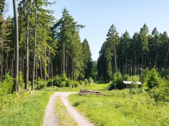
![Trail On foot Willebadessen - Willebadessen Rundweg A7 - Photo](https://media.geolcdn.com/t/350/260/7a247ba7-8339-48af-9b93-714c4841fe3f.jpeg&format=jpg&maxdim=2)
![On foot On foot](https://static1.geolcdn.com/sitytour/trail-icons/100.png)
Km
On foot
![](/images/other/stat-length.png)
![](https://static1.geolcdn.com/siteimages/upload/files/1508320355ic_sort_den_pos_24dp.png)
![](https://static1.geolcdn.com/siteimages/upload/files/1508320355ic_sort_den_neg_24dp.png)
![](https://static1.geolcdn.com/siteimages/upload/files/16400158638029165_repeat_loop_refresh_sync_direction_icon.png)
• Trail created by Eggegebirgsverein. Symbol: white text A8 on black background
![Trail On foot Willebadessen - Rundwanderweg](https://media.geolcdn.com/t/350/260/8e1b92af-1267-457b-97f8-a4e1ca714322.jpeg&format=jpg&maxdim=2)
![On foot On foot](https://static1.geolcdn.com/sitytour/trail-icons/100.png)
Km
On foot
![](/images/other/stat-length.png)
![](https://static1.geolcdn.com/siteimages/upload/files/1508320355ic_sort_den_pos_24dp.png)
![](https://static1.geolcdn.com/siteimages/upload/files/1508320355ic_sort_den_neg_24dp.png)
![](https://static1.geolcdn.com/siteimages/upload/files/16400158638029165_repeat_loop_refresh_sync_direction_icon.png)
• Trail created by Zweckverband Naturpark Teutoburger Wald / Eggegebirge. Symbol: Weißer Text A2 auf schwarzem Grund
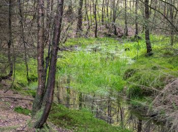
![Trail On foot Willebadessen - Rundwanderweg](https://media.geolcdn.com/t/350/260/66b67238-4c60-45b4-8e3e-322939f68292.jpeg&format=jpg&maxdim=2)
![On foot On foot](https://static1.geolcdn.com/sitytour/trail-icons/100.png)
Km
On foot
![](/images/other/stat-length.png)
![](https://static1.geolcdn.com/siteimages/upload/files/1508320355ic_sort_den_pos_24dp.png)
![](https://static1.geolcdn.com/siteimages/upload/files/1508320355ic_sort_den_neg_24dp.png)
![](https://static1.geolcdn.com/siteimages/upload/files/16400158638029165_repeat_loop_refresh_sync_direction_icon.png)
• Trail created by Zweckverband Naturpark Teutoburger Wald / Eggegebirge. Symbol: Weißer Text A1 auf schwarzem Grund
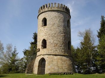
![Trail On foot Willebadessen - Rundwanderweg Borlinghausen A3 (Willebadessen: Borlinghausen) - Photo](https://media.geolcdn.com/t/350/260/d5b90ed9-0717-4b83-9c60-c4f481f13bad.jpeg&format=jpg&maxdim=2)
![On foot On foot](https://static1.geolcdn.com/sitytour/trail-icons/100.png)
Km
On foot
![](/images/other/stat-length.png)
![](https://static1.geolcdn.com/siteimages/upload/files/1508320355ic_sort_den_pos_24dp.png)
![](https://static1.geolcdn.com/siteimages/upload/files/1508320355ic_sort_den_neg_24dp.png)
![](https://static1.geolcdn.com/siteimages/upload/files/16400158638029165_repeat_loop_refresh_sync_direction_icon.png)
• Trail created by Zweckverband Naturpark Teutoburger Wald / Eggegebirge. Symbol: Weißer Text A3 auf schwarzem Grund
![Trail On foot Willebadessen - Rundwanderweg Borlinghausen A2 (Willebadessen: Borlinghausen) - Photo](https://media.geolcdn.com/t/350/260/d5b90ed9-0717-4b83-9c60-c4f481f13bad.jpeg&format=jpg&maxdim=2)
![On foot On foot](https://static1.geolcdn.com/sitytour/trail-icons/100.png)
Km
On foot
![](/images/other/stat-length.png)
![](https://static1.geolcdn.com/siteimages/upload/files/1508320355ic_sort_den_pos_24dp.png)
![](https://static1.geolcdn.com/siteimages/upload/files/1508320355ic_sort_den_neg_24dp.png)
![](https://static1.geolcdn.com/siteimages/upload/files/16400158638029165_repeat_loop_refresh_sync_direction_icon.png)
• Trail created by Zweckverband Naturpark Teutoburger Wald / Eggegebirge. Symbol: Weißer Text A2 auf schwarzem Grund
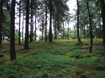
![Trail On foot Willebadessen - Rundwanderweg Borlinghausen A1 (Willebadessen: Schloss Borlinghausen) - Photo](https://media.geolcdn.com/t/350/260/569f08f4-c225-475b-99fd-8d64cc4bba2a.jpeg&format=jpg&maxdim=2)
![On foot On foot](https://static1.geolcdn.com/sitytour/trail-icons/100.png)
Km
On foot
![](/images/other/stat-length.png)
![](https://static1.geolcdn.com/siteimages/upload/files/1508320355ic_sort_den_pos_24dp.png)
![](https://static1.geolcdn.com/siteimages/upload/files/1508320355ic_sort_den_neg_24dp.png)
![](https://static1.geolcdn.com/siteimages/upload/files/16400158638029165_repeat_loop_refresh_sync_direction_icon.png)
• Trail created by Zweckverband Naturpark Teutoburger Wald / Eggegebirge. Symbol: Weißer Text A1 auf schwarzem Grund
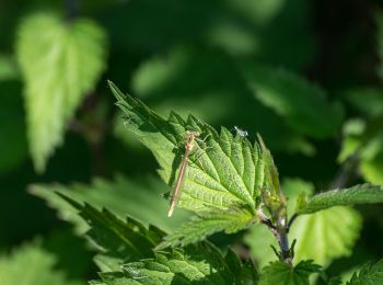
![Trail On foot Willebadessen - Rundwanderweg Wildgehege Willebadessen A2 (Willebadessen: Wildgehege Willebadessen) - Photo](https://media.geolcdn.com/t/350/260/a0354fae-5cdc-4f7b-b722-1535fe489c51.jpeg&format=jpg&maxdim=2)
![On foot On foot](https://static1.geolcdn.com/sitytour/trail-icons/100.png)
Km
On foot
![](/images/other/stat-length.png)
![](https://static1.geolcdn.com/siteimages/upload/files/1508320355ic_sort_den_pos_24dp.png)
![](https://static1.geolcdn.com/siteimages/upload/files/1508320355ic_sort_den_neg_24dp.png)
![](https://static1.geolcdn.com/siteimages/upload/files/16400158638029165_repeat_loop_refresh_sync_direction_icon.png)
• Trail created by Zweckverband Naturpark Teutoburger Wald / Eggegebirge. Symbol: Weißer Text A2 auf schwarzem Grund
![Trail On foot Willebadessen - Willebadessen Route 5 - Photo](https://media.geolcdn.com/t/350/260/7a247ba7-8339-48af-9b93-714c4841fe3f.jpeg&format=jpg&maxdim=2)
![On foot On foot](https://static1.geolcdn.com/sitytour/trail-icons/100.png)
Km
On foot
![](/images/other/stat-length.png)
![](https://static1.geolcdn.com/siteimages/upload/files/1508320355ic_sort_den_pos_24dp.png)
![](https://static1.geolcdn.com/siteimages/upload/files/1508320355ic_sort_den_neg_24dp.png)
![](https://static1.geolcdn.com/siteimages/upload/files/16400158638029165_repeat_loop_refresh_sync_direction_icon.png)
![Trail On foot Willebadessen - Willebadessen Route 4 - Photo](https://media.geolcdn.com/t/350/260/ac4580d5-5d7b-4fa0-96e5-ef3ac2fef5d8.jpeg&format=jpg&maxdim=2)
![On foot On foot](https://static1.geolcdn.com/sitytour/trail-icons/100.png)
Km
On foot
![](/images/other/stat-length.png)
![](https://static1.geolcdn.com/siteimages/upload/files/1508320355ic_sort_den_pos_24dp.png)
![](https://static1.geolcdn.com/siteimages/upload/files/1508320355ic_sort_den_neg_24dp.png)
![](https://static1.geolcdn.com/siteimages/upload/files/16400158638029165_repeat_loop_refresh_sync_direction_icon.png)
![Trail On foot Willebadessen - Rundwanderweg Borlinghausen A4 (Willebadessen: Schloss Borlinghausen) - Photo](https://media.geolcdn.com/t/350/260/61371689-5ec4-4c2c-9667-020843cf428c.jpeg&format=jpg&maxdim=2)
![On foot On foot](https://static1.geolcdn.com/sitytour/trail-icons/100.png)
Km
On foot
![](/images/other/stat-length.png)
![](https://static1.geolcdn.com/siteimages/upload/files/1508320355ic_sort_den_pos_24dp.png)
![](https://static1.geolcdn.com/siteimages/upload/files/1508320355ic_sort_den_neg_24dp.png)
![](https://static1.geolcdn.com/siteimages/upload/files/16400158638029165_repeat_loop_refresh_sync_direction_icon.png)
• Trail created by Zweckverband Naturpark Teutoburger Wald / Eggegebirge. Symbol: Weißer Text A4 auf schwarzem Grund
13 trails displayed on 13
FREE GPS app for hiking