
Roth, Bavaria: Best trails, routes and walks
Roth: Discover the best trails: 131 hiking trails. All these trails, routes and outdoor activities are available in our SityTrail applications for smartphones and tablets.
The best trails (131)
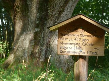
Km
On foot


• Trail created by Stadt Spalt.
Km
On foot


• Trail created by Markt Thalmässing. Symbol: t.b.d.
Km
On foot


• Trail created by Markt Thalmässing. Symbol: Weißes K auf blauem Grund
Km
On foot


• Trail created by Markt Absberg. abgeschlossen (März 2014, by cycling_zno) Symbol: Blaue Tafel mit weißer 36
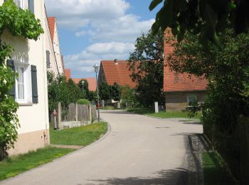
Km
On foot


• Trail created by Markt Pleinfeld. abeschossen (Feb. 2014, by cycling_zno) Symbol: Blaue Tafel mit weißer 86
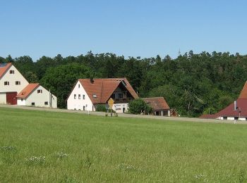
Km
On foot


• Trail created by Markt Pleinfeld. abeschossen (Feb. 2014, by cycling_zno) Symbol: Blaue Tafel mit weißer 85
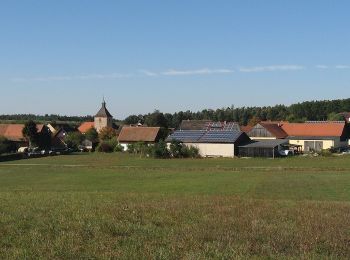
Km
On foot


• Übernommen aus einer GPX-Vorlage des Landkreises, mit Genehmigung des Amtes für Kultur und Tourismus (siehe http://wi...
Km
On foot


• Trail created by Zweckverband Rothsee. abgeschlossen (Nov. 2013 by cycling_zno) Symbol: Weisse 11 auf blauem Grund

Km
On foot


• Trail created by Zweckverband Rothsee. abgeschlossen (Nov. 2013 by cycling_zno) Symbol: Weisse 8 auf blauem Grund
Km
On foot


• Trail created by Markt Allersberg. Symbol: t.b.d.

Km
On foot


• Trail created by Zweckverband Rothsee. abgeschlossen (Nov. 2013 by cycling_zno) Symbol: Weisse 6 auf blauem Grund

Km
On foot


• Trail created by Zweckverband Rothsee. abgeschlossen (Nov. 2013 by cycling_zno) Symbol: Weisse 2 auf blauem Grund
Km
On foot


• Trail created by Stadt Roth. Symbol: ?
Km
On foot


• Trail created by Stadt Roth. Symbol: ?

Km
On foot


• Trail created by Gemeinde Röttenbach. Symbol: ?
Km
On foot


• Trail created by Gemeinde Schwanstetten. Symbol: ?
Km
On foot


• Trail created by Gemeinde Schwanstetten. Symbol: ?
Km
On foot


• Trail created by Gemeinde Abenberg. Symbol: ?
Km
On foot


• Symbol: rot-weiß-blau
Km
On foot


• Trail created by Gemeinde Rednitzhembach. Symbol: ?
20 trails displayed on 131
FREE GPS app for hiking


 SityTrail


