Roth, Roth: Best trails, routes and walks

Roth: Discover the best trails: 12 hiking trails. All these trails, routes and outdoor activities are available in our SityTrail applications for smartphones and tablets.


The best trails (12)

Trail On foot Roth - Rothsee Rundweg No.6 - Photo
On foot 7.89
Km
GUIDE+

On foot

Easy
Roth, Bavaria, Roth, Germany
7.9 km | 8.9 km-effort
2h 1min
74 m
75 m
No
SityTrail - itinéraires balisés pédestres

• Trail created by Zweckverband Rothsee. abgeschlossen (Nov. 2013 by cycling_zno) Symbol: Weisse 6 auf blauem Grund

Trail On foot Roth - Rothsee Rundweg No.2 - Photo
On foot 6.747
Km
GUIDE+

On foot

Easy
Roth, Bavaria, Roth, Germany
6.7 km | 7.7 km-effort
1h 44min
69 m
69 m
Yes
SityTrail - itinéraires balisés pédestres

• Trail created by Zweckverband Rothsee. abgeschlossen (Nov. 2013 by cycling_zno) Symbol: Weisse 2 auf blauem Grund

Trail On foot Roth - Wasserweg (Roth) - Photo
On foot 10.173
Km
GUIDE+

On foot

Easy
Roth, Bavaria, Roth, Germany
10.2 km | 12.5 km-effort
2h 50min
175 m
174 m
No
SityTrail - itinéraires balisés pédestres

• Trail created by Stadt Roth. Symbol: ?

Trail On foot Roth - Rothsee Rundweg No.9 - Photo
On foot 14.234
Km
GUIDE+

On foot

Easy
Roth, Bavaria, Roth, Germany
14.2 km | 16.5 km-effort
3h 44min
173 m
147 m
No
SityTrail - itinéraires balisés pédestres

• Trail created by Zweckverband Rothsee. abgeschlossen (Nov. 2013 by cycling_zno) Symbol: Weisse 9 auf blauem Grund
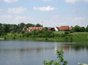
Trail On foot Roth - Seebühler Rundweg - Photo
On foot 9.011
Km
GUIDE+

On foot

Easy
Roth, Bavaria, Roth, Germany
9 km | 10.5 km-effort
2h 22min
110 m
110 m
Yes
SityTrail - itinéraires balisés pédestres

• Trail created by Stadt Roth. Symbol: t.b.d.

Trail On foot Roth - Weiherweg - Photo
On foot 8.472
Km
GUIDE+

On foot

Easy
Roth, Bavaria, Roth, Germany
8.5 km | 9.7 km-effort
2h 12min
93 m
84 m
Yes
SityTrail - itinéraires balisés pédestres

• Trail created by Stadt Hilpoltstein. Symbol: t.b.d.
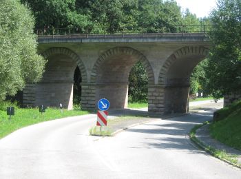
Trail On foot Roth - Weinberg Rednitztal - Photo
On foot 11.478
Km
GUIDE+

On foot

Easy
Roth, Bavaria, Roth, Germany
11.5 km | 13.9 km-effort
3h 10min
184 m
188 m
Yes
SityTrail - itinéraires balisés pédestres

• Trail created by Stadt Roth. Symbol: ?
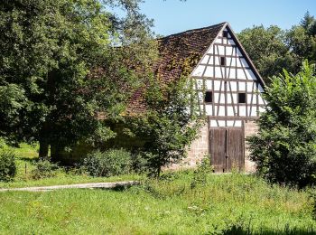
Trail On foot Roth - Harrlach-Asbach - Photo
On foot 4.367
Km
GUIDE+

On foot

Easy
Roth, Bavaria, Roth, Germany
4.4 km | 5.4 km-effort
1h 13min
89 m
47 m
No
SityTrail - itinéraires balisés pédestres

• Trail created by Gemeinde Pyrbaum. abgeschlossen (Jan. 2013 by cycling_zno) Symbol: Schwarze 2 auf gelbem Grund
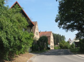
Trail On foot Roth - Naturlehrpfad Bernloher Wald - Photo
On foot 3.102
Km
GUIDE+

On foot

Easy
Roth, Bavaria, Roth, Germany
3.1 km | 3.7 km-effort
51min
45 m
57 m
No
SityTrail - itinéraires balisés pédestres

• Trail created by Stadt Roth. Symbol: ?
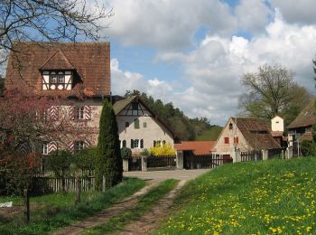
Trail On foot Roth - Rundwanderweg Aurachtal - Photo
On foot 8.524
Km
GUIDE+

On foot

Easy
Roth, Bavaria, Roth, Germany
8.5 km | 10.4 km-effort
2h 21min
141 m
137 m
No
SityTrail - itinéraires balisés pédestres

• Trail created by Stadt Roth. Symbol: ?

Trail On foot Roth - Pferdehofweg - Photo
On foot 5.044
Km
GUIDE+

On foot

Easy
Roth, Bavaria, Roth, Germany
5 km | 5.9 km-effort
1h 20min
65 m
63 m
Yes
SityTrail - itinéraires balisés pédestres

• Trail created by Stadt Roth. Symbol: t.b.d.

Trail On foot Roth - Rothsee Rundweg No.7 - Photo
On foot 3.111
Km
GUIDE+

On foot

Easy
Roth, Bavaria, Roth, Germany
3.1 km | 3.5 km-effort
47min
28 m
37 m
No
SityTrail - itinéraires balisés pédestres

• Trail created by Zweckverband Rothsee. abgeschlossen (Nov. 2013 by cycling_zno) Symbol: Weisse 7 auf blauem Grund

12 trails displayed on 12

FREE GPS app for hiking

Logo SityTrail SityTrail

IGN / Geographical institutes

Download SityTrail from the App Store Download SityTrail from Google Play

Logo SityTrail SityTrail World

The world is yours!

Download SityTrail from the App Store Download SityTrail from Google Play Download SityTrail on Huawei AppGallery

Activities

Close
My subscriptions