Landkreis Bayreuth, Bavaria: Best trails, routes and walks

Landkreis Bayreuth: Discover the best trails: 186 hiking trails and 1 bike and mountain-bike routes. All these trails, routes and outdoor activities are available in our SityTrail applications for smartphones and tablets.


The best trails (187)
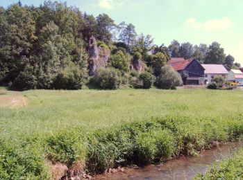
Trail On foot Aufseß - Rote-Spitze-Weg Sachsendorf - Photo
On foot 7.67
Km
GUIDE+

On foot

Easy
Aufseß, Bavaria, Landkreis Bayreuth, Germany
7.7 km | 9.3 km-effort
2h 6min
119 m
119 m
Yes
SityTrail - itinéraires balisés pédestres

• Trail created by Gemeinde Aufseß. Symbol: Rotes liegendes Dreieck auf weißem Hintergrund
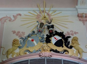
Trail On foot Aufseß - Gelb-Ring-Weg Aufseß - Photo
On foot 11.315
Km
GUIDE+

On foot

Easy
Aufseß, Bavaria, Landkreis Bayreuth, Germany
11.3 km | 14.2 km-effort
3h 13min
217 m
219 m
Yes
SityTrail - itinéraires balisés pédestres

• Trail created by Gemeinde Aufseß. Symbol: Gelber Ring auf weißem Hintergrund
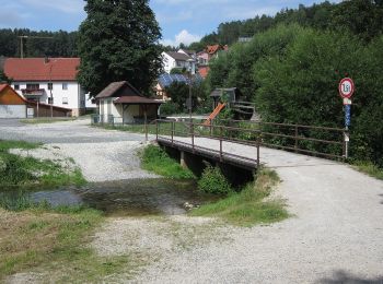
Trail On foot Aufseß - Rundweg Aufseß - Photo
On foot 6.014
Km
GUIDE+

On foot

Easy
Aufseß, Bavaria, Landkreis Bayreuth, Germany
6 km | 8.3 km-effort
1h 52min
170 m
164 m
Yes
SityTrail - itinéraires balisés pédestres

• Trail created by Gemeinde Aufseß. Symbol: Schwarzes Gemeindewappen auf weißem Hintergrund
Trail On foot Aufseß - Rundweg Hochstahl - Photo
On foot 5.905
Km
GUIDE+

On foot

Easy
Aufseß, Bavaria, Landkreis Bayreuth, Germany
5.9 km | 7.3 km-effort
1h 38min
101 m
101 m
Yes
SityTrail - itinéraires balisés pédestres

• Trail created by Gemeinde Aufseß. Symbol: Gemeindewappen Hochstall

Trail On foot Hollfeld - Kurat-Hollfelder-Weg - Photo
On foot 7.786
Km
GUIDE+

On foot

Easy
Hollfeld, Bavaria, Landkreis Bayreuth, Germany
7.8 km | 9.1 km-effort
2h 4min
95 m
112 m
No
SityTrail - itinéraires balisés pédestres

• Trail created by Gemeinde Aufseß. Beschilderung nur in eine Richtung Symbol: Wappen auf weißem Grund
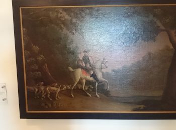
Trail On foot Hollfeld - Aktiv-Park Roter Trail - Photo
On foot 7.803
Km
GUIDE+

On foot

Easy
Hollfeld, Bavaria, Landkreis Bayreuth, Germany
7.8 km | 10 km-effort
2h 16min
163 m
163 m
Yes
SityTrail - itinéraires balisés pédestres

• Trail created by Bayernwerk. Symbol: Roter Pfeil auf weißem Hintergrund

Trail On foot Hollfeld - Aktiv-Park Schwarzer Trail - Photo
On foot 11.426
Km
GUIDE+

On foot

Easy
Hollfeld, Bavaria, Landkreis Bayreuth, Germany
11.4 km | 14.1 km-effort
3h 12min
201 m
201 m
Yes
SityTrail - itinéraires balisés pédestres

• Trail created by Bayernwerk. Symbol: Schwarzer Pfeill auf weißem Hintergrund

Trail On foot Hollfeld - Kurat Hollfelder Gedächtnisweg - Photo
On foot 5.518
Km
GUIDE+

On foot

Easy
Hollfeld, Bavaria, Landkreis Bayreuth, Germany
5.5 km | 7.1 km-effort
1h 36min
117 m
118 m
Yes
SityTrail - itinéraires balisés pédestres

• Trail created by Stadt Hollfeld. Symbol: Schwarzer Kopf auf weißem Hintergrund

Trail On foot Mistelgau - Mistelgau Rundwanderweg
On foot 5.184
Km
GUIDE+

On foot

Easy
Mistelgau, Bavaria, Landkreis Bayreuth, Germany
5.2 km | 6.9 km-effort
1h 33min
130 m
121 m
Yes
SityTrail - itinéraires balisés pédestres

• Symbol: grüner Kreis

Trail On foot Mistelgau - Mistelgau Rundwanderweg
On foot 12.019
Km
GUIDE+

On foot

Easy
Mistelgau, Bavaria, Landkreis Bayreuth, Germany
12 km | 15.6 km-effort
3h 32min
267 m
267 m
Yes
SityTrail - itinéraires balisés pédestres

• Symbol: roter Punkt

Trail On foot Hollfeld - Wonsees Erbachtal-Wanderweg - Photo
On foot 8.945
Km
GUIDE+

On foot

Easy
Hollfeld, Bavaria, Landkreis Bayreuth, Germany
8.9 km | 11.6 km-effort
2h 38min
199 m
198 m
Yes
SityTrail - itinéraires balisés pédestres

• Symbol: Gelbe Raute auf weißem Hintergrund
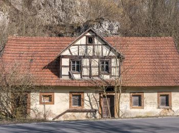
Trail On foot Hollfeld - Hollfeld Rundweg
On foot 6.771
Km
GUIDE+

On foot

Easy
Hollfeld, Bavaria, Landkreis Bayreuth, Germany
6.8 km | 8.3 km-effort
1h 52min
111 m
111 m
Yes
SityTrail - itinéraires balisés pédestres

• Trail created by Stadt Hollfeld. Symbol: Gelbe Spitze auf weißem Hintergrund
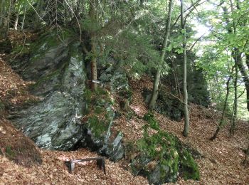
Trail On foot Warmensteinach - Wurzbachweiher-Jägersteig - Photo
On foot 3.436
Km
GUIDE+

On foot

Easy
Warmensteinach, Bavaria, Landkreis Bayreuth, Germany
3.4 km | 5.3 km-effort
1h 11min
145 m
115 m
No
SityTrail - itinéraires balisés pédestres

• Symbol: blauer Punkt mit grünem Ring

Trail On foot Hollfeld - Hollfeld Rundweg
On foot 10.167
Km
GUIDE+

On foot

Easy
Hollfeld, Bavaria, Landkreis Bayreuth, Germany
10.2 km | 12.8 km-effort
2h 54min
198 m
198 m
Yes
SityTrail - itinéraires balisés pédestres

• Trail created by Stadt Hollfeld. Symbol: Rote Raute auf weißem Hintergrund
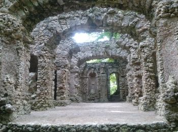
Trail On foot Hollfeld - Von Burg zu Burg - Photo
On foot 18.442
Km
GUIDE+

On foot

Medium
Hollfeld, Bavaria, Landkreis Bayreuth, Germany
18.4 km | 23 km-effort
5h 11min
328 m
328 m
Yes
SityTrail - itinéraires balisés pédestres

• Symbol: Blauer Punkt auf weißem Grund
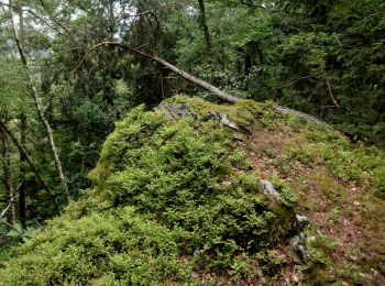
Trail On foot Weidenberg - Sophienthal Rundwanderweg Nr. 2 - Photo
On foot 7.945
Km
GUIDE+

On foot

Easy
Weidenberg, Bavaria, Landkreis Bayreuth, Germany
7.9 km | 11.1 km-effort
2h 31min
237 m
233 m
Yes
SityTrail - itinéraires balisés pédestres

• Trail created by Fichtelgebirgsverein Weidenberg. Symbol: weiße 2
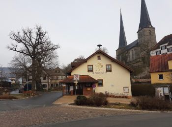
Trail On foot Goldkronach - Nemmersdorf St.Jobst-Weg - Photo
On foot 7.024
Km
GUIDE+

On foot

Easy
Goldkronach, Bavaria, Landkreis Bayreuth, Germany
7 km | 8.7 km-effort
1h 58min
124 m
122 m
Yes
SityTrail - itinéraires balisés pédestres

• Symbol: weißes St. Jobst auf braunem Hintergrund
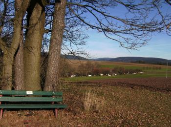
Trail On foot Weidenberg - GEO-Erlebnisweg Weidenberger Erdblicke - Kulm-Runde - Photo
On foot 4.014
Km
GUIDE+

On foot

Easy
Weidenberg, Bavaria, Landkreis Bayreuth, Germany
4 km | 4.9 km-effort
1h 6min
60 m
89 m
No
SityTrail - itinéraires balisés pédestres

• Trail created by Geopark Bayern - Böhmen.
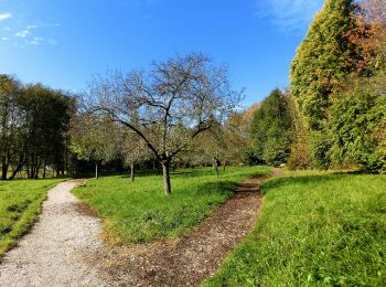
Trail On foot Glashütten - Glashütten Salzlecken-Rundweg - Photo
On foot 5.428
Km
GUIDE+

On foot

Easy
Glashütten, Bavaria, Landkreis Bayreuth, Germany
5.4 km | 7.3 km-effort
1h 39min
139 m
137 m
Yes
SityTrail - itinéraires balisés pédestres

• Symbol: Roter Ring

Trail On foot Glashüttener Forst - Glashütten Höhen-Rundweg - Photo
On foot 13.85
Km
GUIDE+

On foot

Easy
Glashüttener Forst, Bavaria, Landkreis Bayreuth, Germany
13.8 km | 17.8 km-effort
4h 2min
296 m
298 m
Yes
SityTrail - itinéraires balisés pédestres

• Symbol: Gelber Ring

20 trails displayed on 187

Close
My subscriptions