Ahorntal, Landkreis Bayreuth: Best trails, routes and walks

Ahorntal: Discover the best trails: 9 hiking trails. All these trails, routes and outdoor activities are available in our SityTrail applications for smartphones and tablets.


The best trails (9)
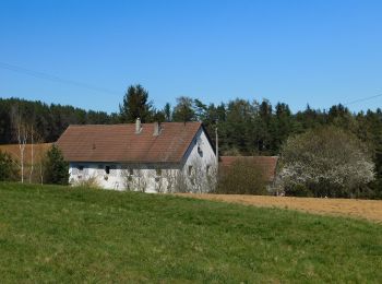
Trail On foot Ahorntal - Zu Höhlenbär und Millionär - Photo
On foot 8.276
Km
PRO

On foot

Easy
Ahorntal, Bavaria, Landkreis Bayreuth, Germany
8.3 km | 11.6 km-effort
2h 38min
251 m
251 m
Yes
SityTrail - itinéraires balisés pédestres

• Trail created by Gemeinde Ahorntal. abgeschlossen (März 2014, by cycling_zno) Symbol: Blauer Ring auf weißem Grund
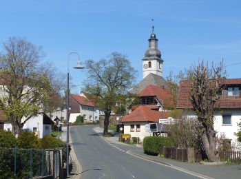
Trail On foot Ahorntal - Rundweg Ahorntal (Roter Ring) - Photo
On foot 3.964
Km
PRO

On foot

Easy
Ahorntal, Bavaria, Landkreis Bayreuth, Germany
4 km | 5.5 km-effort
1h 14min
116 m
107 m
No
SityTrail - itinéraires balisés pédestres

• Trail created by Gemeinde Ahorntal. abeschossen (Feb. 2014, by cycling_zno) Symbol: Roter Ring auf weißem Grund
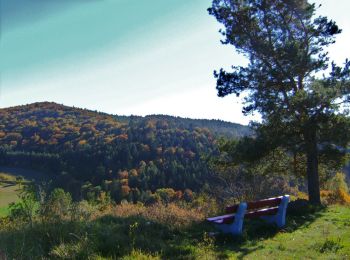
Trail On foot Ahorntal - Rundweg Ahorntal (Schwarzer Ring) - Photo
On foot 6.214
Km
PRO

On foot

Easy
Ahorntal, Bavaria, Landkreis Bayreuth, Germany
6.2 km | 8.8 km-effort
1h 59min
194 m
191 m
Yes
SityTrail - itinéraires balisés pédestres

• Trail created by Gemeinde Ahorntal. abeschossen (Feb. 2014, by cycling_zno) Symbol: Schwarzer Ring auf weißem Grund
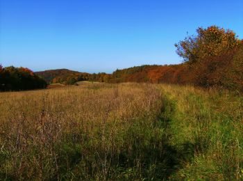
Trail On foot Ahorntal - Rundweg Ahorntal (Grüner Ring) - Photo
On foot 5.303
Km
PRO

On foot

Easy
Ahorntal, Bavaria, Landkreis Bayreuth, Germany
5.3 km | 7.6 km-effort
1h 43min
173 m
174 m
Yes
SityTrail - itinéraires balisés pédestres

• Trail created by Gemeinde Ahorntal. abeschossen (Feb. 2014, by cycling_zno) Symbol: Grüner Ring auf weißem Grund
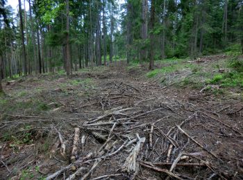
Trail On foot Ahorntal - Muthmannsreuth Rundwanderweg Nr. 5 - Photo
On foot 12.145
Km
PRO

On foot

Easy
Ahorntal, Bavaria, Landkreis Bayreuth, Germany
12.1 km | 15.6 km-effort
3h 32min
257 m
251 m
Yes
SityTrail - itinéraires balisés pédestres

• Trail created by Fränkische Schweiz Verein. Symbol: weiße 5 auf grünem Grund
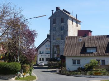
Trail On foot Ahorntal - Kleiner Ahorntal Rundweg - Photo
On foot 4.224
Km
PRO

On foot

Easy
Ahorntal, Bavaria, Landkreis Bayreuth, Germany
4.2 km | 5.3 km-effort
1h 11min
66 m
111 m
No
SityTrail - itinéraires balisés pédestres

• Trail created by Gemeinde Ahorntal. Wiederspruch tags name-description Symbol: Rotes Ahornblatt

Trail On foot Ahorntal - Großer Ahorntalrundweg - Photo
On foot 22.511
Km
PRO

On foot

Difficult
Ahorntal, Bavaria, Landkreis Bayreuth, Germany
23 km | 32 km-effort
7h 9min
674 m
681 m
Yes
SityTrail - itinéraires balisés pédestres

• Trail created by Gemeinde Ahorntal. Symbol: Grünes Ahornblatt

Trail On foot Ahorntal - Ahorntaler Bierwanderweg - Photo
On foot 11.49
Km
PRO

On foot

Easy
Ahorntal, Bavaria, Landkreis Bayreuth, Germany
11.5 km | 14.7 km-effort
3h 20min
227 m
294 m
No
SityTrail - itinéraires balisés pédestres

Trail On foot Ahorntal - Rundweg Tüchersfeld-Zauppenberg - Photo
On foot 14.103
Km
PRO

On foot

Easy
Ahorntal, Bavaria, Landkreis Bayreuth, Germany
14.1 km | 19 km-effort
4h 18min
365 m
365 m
Yes
SityTrail - itinéraires balisés pédestres

• Trail created by Fränkische-Schweiz-Verein. abeschossen (April 2013 by cycling_zno) Symbol: Grüner Punkt auf weißem...

9 trails displayed on 9

FREE GPS app for hiking

Logo SityTrail SityTrail

IGN / Geographical institutes

Download SityTrail from the App Store Download SityTrail from Google Play

Logo SityTrail SityTrail World

The world is yours!

Download SityTrail from the App Store Download SityTrail from Google Play Download SityTrail on Huawei AppGallery

Activities

Close
My subscriptions