


3,2 km | 4,6 km-effort
Wales: Ontdek de beste tochten: 25 te voet en 35 stappen. Al deze tochten, trajecten, routes en outdoor activiteiten zijn beschikbaar in onze SityTrail-apps voor smartphones en tablets.
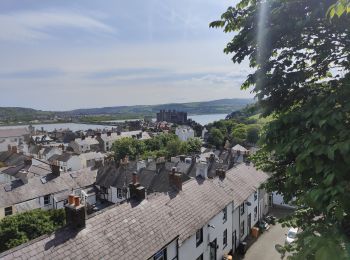
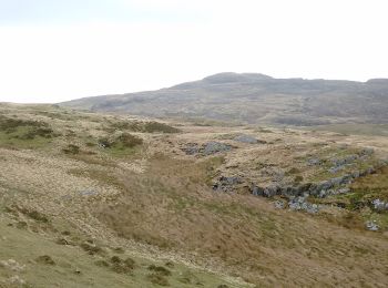
Te voet


• Tocht aangemaakt door Newport City Council.
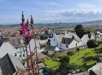
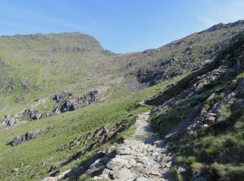
Te voet
• Tocht aangemaakt door National Trust.
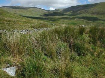
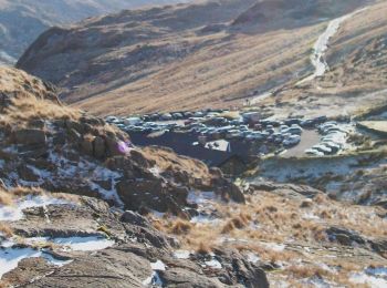
Te voet
• Tocht aangemaakt door National Trust.

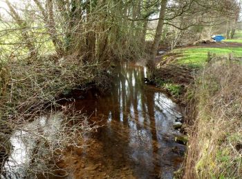
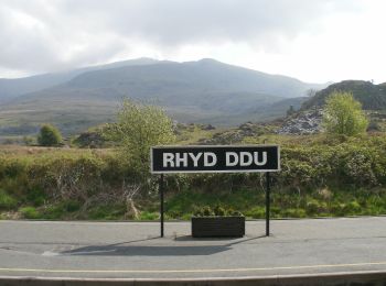
Te voet
• Route not complete. Eastern section currently being added, other sections not surveyed

Te voet
• Traditional route is S-to-N, summit to summit Website: https://www.welsh3000s.co.uk/
Te voet
• Tocht aangemaakt door Forestry Commission. Symbool: blue footprint
Stappen
Stappen

Stappen
Te voet
Te voet
Te voet
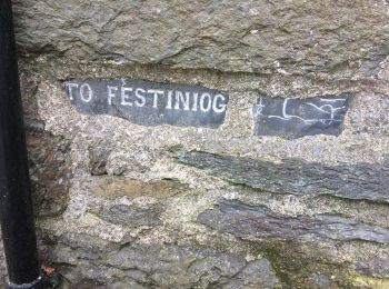
• Website: http://www.taithardudwyway.com

Te voet

Te voet
Te voet

Te voet

Te voet
Te voet
Te voet
Te voet
20 tochten weergegeven op 60
Gratisgps-wandelapplicatie
 SityTrail
IGN / Geografische instituten
SityTrail World
De wereld gaat voor u open