


8,2 km | 11,6 km-effort
Conwy: Ontdek de beste tochten: 2 te voet en 6 stappen. Al deze tochten, trajecten, routes en outdoor activiteiten zijn beschikbaar in onze SityTrail-apps voor smartphones en tablets.
Te voet


• Tocht aangemaakt door National Trust.
Te voet
• Tocht aangemaakt door National Trust.
Stappen
Stappen

Stappen
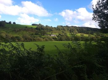
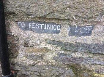
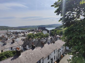
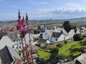
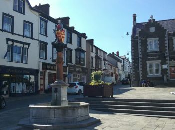
• Trop de pluie en montagne, je suis au niveau de la mer maintenant et il fait beau.

Stappen
• Trop de pluie en montagne, je suis au niveau de la mer maintenant et il fait beau.
Stappen
• Trop de pluie en montagne, je suis au niveau de la mer maintenant et il fait beau.

Stappen
8 tochten weergegeven op 8
Gratisgps-wandelapplicatie
 SityTrail
IGN / Geografische instituten
SityTrail World
De wereld gaat voor u open