


10,2 km | 15,2 km-effort
Powys: Ontdek de beste tochten: 3 te voet en 7 stappen. Al deze tochten, trajecten, routes en outdoor activiteiten zijn beschikbaar in onze SityTrail-apps voor smartphones en tablets.
Te voet


Te voet
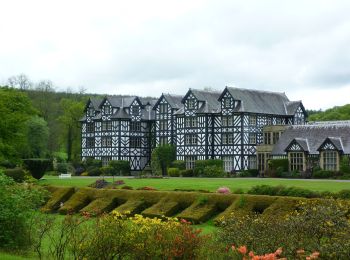
• Tocht aangemaakt door University of Wales, Gregynog. Symbool: Red Arrows
Te voet
• Tocht aangemaakt door University of Wales, Gregynog. Symbool: Blue Arrows
Stappen
• Que du hors piste !!!
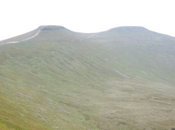
Stappen
• LOST IN WALES, j'ai tourné en rond !!! HS !
Stappen
• J'ai traversé une rivière et j'ai pris un bain !!!

Stappen
• Que du hors piste !!!

Stappen
• J'ai traversé une rivière et j'ai pris un bain !!!
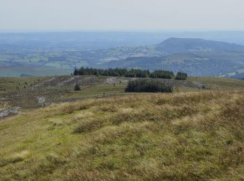
Stappen
• Belle montagne descente un peu longue

Stappen
• Belle montagne descente un peu longue
10 tochten weergegeven op 10
Gratisgps-wandelapplicatie
 SityTrail
IGN / Geografische instituten
SityTrail World
De wereld gaat voor u open