![](/images/other/stat-length.png)
- Tochten
- Te voet
- Germany
- Baden-Württemberg
- Landkreis Böblingen
Landkreis Böblingen, Baden-Württemberg, Te voet: Top van de beste wandelroutes, trajecten, tochten en wandelingen
Landkreis Böblingen: Ontdek de beste tochten: 62 te voet. Al deze tochten, trajecten, routes en outdoor activiteiten zijn beschikbaar in onze SityTrail-apps voor smartphones en tablets.
De beste trajecten (62)
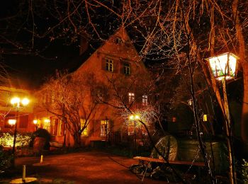
![Tocht Te voet Weil der Stadt - Johannes-Kepler-Planetenweg - Photo](https://media.geolcdn.com/t/350/260/4775634c-8bd8-4b5f-92ab-bc3017f1b51f.jpeg&format=jpg&maxdim=2)
![Te voet Te voet](https://static1.geolcdn.com/sitytour/trail-icons/100.png)
Km
Te voet
![](/images/other/stat-length.png)
![](https://static1.geolcdn.com/siteimages/upload/files/1508320355ic_sort_den_pos_24dp.png)
![](https://static1.geolcdn.com/siteimages/upload/files/1508320355ic_sort_den_neg_24dp.png)
![](https://static1.geolcdn.com/siteimages/upload/files/16400158638029165_repeat_loop_refresh_sync_direction_icon.png)
• Trail created by Kepler-Gesellschaft e.V..
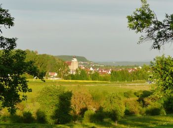
![Tocht Te voet Herrenberg - Streuobsterlebnisweg Kuppingen - Photo](https://media.geolcdn.com/t/350/260/eb0fd420-8e7f-46cf-8af7-96bf08a0fd2d.jpeg&format=jpg&maxdim=2)
![Te voet Te voet](https://static1.geolcdn.com/sitytour/trail-icons/100.png)
Km
Te voet
![](/images/other/stat-length.png)
![](https://static1.geolcdn.com/siteimages/upload/files/1508320355ic_sort_den_pos_24dp.png)
![](https://static1.geolcdn.com/siteimages/upload/files/1508320355ic_sort_den_neg_24dp.png)
![](https://static1.geolcdn.com/siteimages/upload/files/16400158638029165_repeat_loop_refresh_sync_direction_icon.png)
• Website: https://streuobsterlebnis.mitmachstadt-herrenberg.de/erlebniswege/kuppingen
![Tocht Te voet Gärtringen - alte Wegführung HW 5 - Schwarzwald-Schwäbische Alb-Allgäu-Weg - Photo](https://media.geolcdn.com/t/350/260/0cd9abad-3d57-44e1-80ea-06f3ddb1a05f.jpeg&format=jpg&maxdim=2)
![Te voet Te voet](https://static1.geolcdn.com/sitytour/trail-icons/100.png)
Km
Te voet
![](/images/other/stat-length.png)
![](https://static1.geolcdn.com/siteimages/upload/files/1508320355ic_sort_den_pos_24dp.png)
![](https://static1.geolcdn.com/siteimages/upload/files/1508320355ic_sort_den_neg_24dp.png)
![](https://static1.geolcdn.com/siteimages/upload/files/16400158638029165_repeat_loop_refresh_sync_direction_icon.png)
• Trail created by Schwäbischer Albverein. z.Z. (Juli 2020) sind die Markierungen noch da Symbol: Roter Querbalken au...
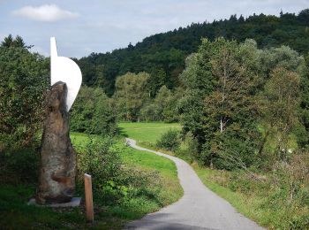
![Tocht Te voet Weil im Schönbuch - DE-SAV Blauer Punkt Dettenhausen - Bei der Rauhmühle - Photo](https://media.geolcdn.com/t/350/260/aeb9da4c-d640-40fb-8526-a840753989c5.jpeg&format=jpg&maxdim=2)
![Te voet Te voet](https://static1.geolcdn.com/sitytour/trail-icons/100.png)
Km
Te voet
![](/images/other/stat-length.png)
![](https://static1.geolcdn.com/siteimages/upload/files/1508320355ic_sort_den_pos_24dp.png)
![](https://static1.geolcdn.com/siteimages/upload/files/1508320355ic_sort_den_neg_24dp.png)
![](https://static1.geolcdn.com/siteimages/upload/files/16400158638029165_repeat_loop_refresh_sync_direction_icon.png)
• Trail created by Schwäbischer Albverein. SAV Blauer Punkt Dettenhausen - Bei der Rauhmühle Symbol: Blauer Punkt auf...
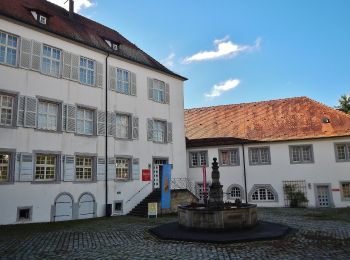
![Tocht Te voet Waldenbuch - DE-SAV Roter Punkt Segelbachtal - ? - Photo](https://media.geolcdn.com/t/350/260/e2c0efb9-f5ad-4b7f-a898-40c25222d3f8.jpeg&format=jpg&maxdim=2)
![Te voet Te voet](https://static1.geolcdn.com/sitytour/trail-icons/100.png)
Km
Te voet
![](/images/other/stat-length.png)
![](https://static1.geolcdn.com/siteimages/upload/files/1508320355ic_sort_den_pos_24dp.png)
![](https://static1.geolcdn.com/siteimages/upload/files/1508320355ic_sort_den_neg_24dp.png)
![](https://static1.geolcdn.com/siteimages/upload/files/16400158638029165_repeat_loop_refresh_sync_direction_icon.png)
• Trail created by Schwäbischer Albverein. SAV Roter Punkt Segelbachtal - ? Symbol: Roter Punkt auf weißem Grund
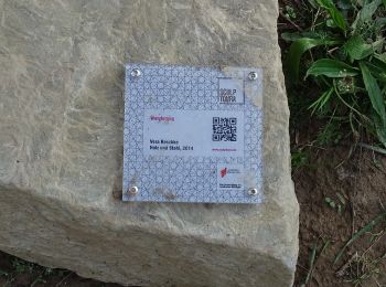
![Tocht Te voet Herrenberg - Turm-Tour - Photo](https://media.geolcdn.com/t/350/260/9014ee37-ccbc-4281-b81c-b9dd941d6407.jpeg&format=jpg&maxdim=2)
![Te voet Te voet](https://static1.geolcdn.com/sitytour/trail-icons/100.png)
Km
Te voet
![](/images/other/stat-length.png)
![](https://static1.geolcdn.com/siteimages/upload/files/1508320355ic_sort_den_pos_24dp.png)
![](https://static1.geolcdn.com/siteimages/upload/files/1508320355ic_sort_den_neg_24dp.png)
![](https://static1.geolcdn.com/siteimages/upload/files/16400158638029165_repeat_loop_refresh_sync_direction_icon.png)
• Trail created by Naturpark Schönbuch. Symbol: Gelber Kreis auf weißem Grund
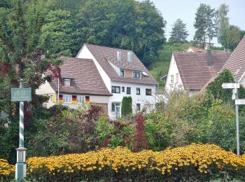
![Tocht Te voet Aidlingen - Land.Tour Venusberg - Photo](https://media.geolcdn.com/t/350/260/ba60b6f8-e49a-4e76-82e7-43cfb6dfee57.jpeg&format=jpg&maxdim=2)
![Te voet Te voet](https://static1.geolcdn.com/sitytour/trail-icons/100.png)
Km
Te voet
![](/images/other/stat-length.png)
![](https://static1.geolcdn.com/siteimages/upload/files/1508320355ic_sort_den_pos_24dp.png)
![](https://static1.geolcdn.com/siteimages/upload/files/1508320355ic_sort_den_neg_24dp.png)
![](https://static1.geolcdn.com/siteimages/upload/files/16400158638029165_repeat_loop_refresh_sync_direction_icon.png)
• Trail created by Schwarwaldverein.
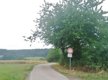
![Tocht Te voet Aidlingen - SchafSpuren - Photo](https://media.geolcdn.com/t/350/260/69322f55-f638-4b5e-beef-b335a87afd64.jpeg&format=jpg&maxdim=2)
![Te voet Te voet](https://static1.geolcdn.com/sitytour/trail-icons/100.png)
Km
Te voet
![](/images/other/stat-length.png)
![](https://static1.geolcdn.com/siteimages/upload/files/1508320355ic_sort_den_pos_24dp.png)
![](https://static1.geolcdn.com/siteimages/upload/files/1508320355ic_sort_den_neg_24dp.png)
![](https://static1.geolcdn.com/siteimages/upload/files/16400158638029165_repeat_loop_refresh_sync_direction_icon.png)
• Website: https://www.aidlingen.de/fileadmin/Dateien/Bilder/LandTouren/Beschreibung_LandTour_SchafSpuren.pdf
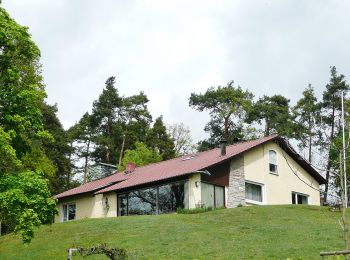
![Tocht Te voet Weil der Stadt - DE-SWV Gelbe Raute, Prediktplatz - Schneller West - Photo](https://media.geolcdn.com/t/350/260/5241fc3d-3655-4d2a-a275-18e096679628.jpeg&format=jpg&maxdim=2)
![Te voet Te voet](https://static1.geolcdn.com/sitytour/trail-icons/100.png)
Km
Te voet
![](/images/other/stat-length.png)
![](https://static1.geolcdn.com/siteimages/upload/files/1508320355ic_sort_den_pos_24dp.png)
![](https://static1.geolcdn.com/siteimages/upload/files/1508320355ic_sort_den_neg_24dp.png)
![](https://static1.geolcdn.com/siteimages/upload/files/16400158638029165_repeat_loop_refresh_sync_direction_icon.png)
• Trail created by Schwarzwaldverein. SWV Gelbe Raute, Prediktplatz - Schneller West Symbol: Gelbe Raute auf weißem G...
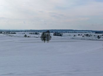
![Tocht Te voet Aidlingen - Gärtringer Rundweg 2 - Photo](https://media.geolcdn.com/t/350/260/29cbc548-32dc-423b-bdf4-261fb0206665.jpeg&format=jpg&maxdim=2)
![Te voet Te voet](https://static1.geolcdn.com/sitytour/trail-icons/100.png)
Km
Te voet
![](/images/other/stat-length.png)
![](https://static1.geolcdn.com/siteimages/upload/files/1508320355ic_sort_den_pos_24dp.png)
![](https://static1.geolcdn.com/siteimages/upload/files/1508320355ic_sort_den_neg_24dp.png)
![](https://static1.geolcdn.com/siteimages/upload/files/16400158638029165_repeat_loop_refresh_sync_direction_icon.png)
• Trail created by Schwarzwaldverein Gärtringen e.V.. Mit gelber und blauer Raute beschildert: yellow:white:yellow_dia...
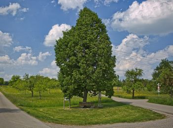
![Tocht Te voet Gärtringen - Gärtringer Rundweg 1 - Photo](https://media.geolcdn.com/t/350/260/52414d3f-8650-45af-b4d3-19b2f137a2a5.jpeg&format=jpg&maxdim=2)
![Te voet Te voet](https://static1.geolcdn.com/sitytour/trail-icons/100.png)
Km
Te voet
![](/images/other/stat-length.png)
![](https://static1.geolcdn.com/siteimages/upload/files/1508320355ic_sort_den_pos_24dp.png)
![](https://static1.geolcdn.com/siteimages/upload/files/1508320355ic_sort_den_neg_24dp.png)
![](https://static1.geolcdn.com/siteimages/upload/files/16400158638029165_repeat_loop_refresh_sync_direction_icon.png)
• Trail created by Schwarzwaldverein Gärtringen e.V.. Mit gelber und blauer Raute beschildert: yellow:white:yellow_dia...
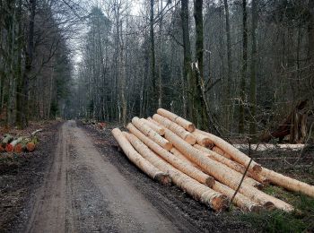
![Tocht Te voet Gärtringen - Gärtringer Rundweg 3 - Photo](https://media.geolcdn.com/t/350/260/d78cc5cc-aa5b-475e-b259-27a62da55859.jpeg&format=jpg&maxdim=2)
![Te voet Te voet](https://static1.geolcdn.com/sitytour/trail-icons/100.png)
Km
Te voet
![](/images/other/stat-length.png)
![](https://static1.geolcdn.com/siteimages/upload/files/1508320355ic_sort_den_pos_24dp.png)
![](https://static1.geolcdn.com/siteimages/upload/files/1508320355ic_sort_den_neg_24dp.png)
![](https://static1.geolcdn.com/siteimages/upload/files/16400158638029165_repeat_loop_refresh_sync_direction_icon.png)
• Trail created by Schwarzwaldverein Gärtringen e.V..
![Tocht Te voet Weil der Stadt - DE-SWV gelbe Raute, Merklingen Bauhof - Eisberg - Photo](https://media.geolcdn.com/t/350/260/4775634c-8bd8-4b5f-92ab-bc3017f1b51f.jpeg&format=jpg&maxdim=2)
![Te voet Te voet](https://static1.geolcdn.com/sitytour/trail-icons/100.png)
Km
Te voet
![](/images/other/stat-length.png)
![](https://static1.geolcdn.com/siteimages/upload/files/1508320355ic_sort_den_pos_24dp.png)
![](https://static1.geolcdn.com/siteimages/upload/files/1508320355ic_sort_den_neg_24dp.png)
![](https://static1.geolcdn.com/siteimages/upload/files/16400158638029165_repeat_loop_refresh_sync_direction_icon.png)
• Trail created by Schwarzwaldverein. SWV gelbe Raute, Merklingen Bauhof - Eisberg Symbol: Gelbe Raute auf weißem Grund
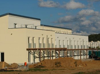
![Tocht Te voet Sindelfingen - Maichingen S-Bahnhof - Äußere Winterhalde - Photo](https://media.geolcdn.com/t/350/260/c15596a3-82c8-4a93-afc4-cb6054e928f7.jpeg&format=jpg&maxdim=2)
![Te voet Te voet](https://static1.geolcdn.com/sitytour/trail-icons/100.png)
Km
Te voet
![](/images/other/stat-length.png)
![](https://static1.geolcdn.com/siteimages/upload/files/1508320355ic_sort_den_pos_24dp.png)
![](https://static1.geolcdn.com/siteimages/upload/files/1508320355ic_sort_den_neg_24dp.png)
![](https://static1.geolcdn.com/siteimages/upload/files/16400158638029165_repeat_loop_refresh_sync_direction_icon.png)
• Trail created by Schwäbischer Albverein. Symbol: Blaues liegendes U auf weißem Grund
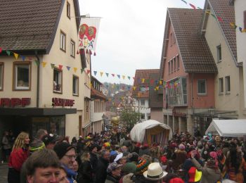
![Tocht Te voet Weil der Stadt - Landesvermessungsweg - Photo](https://media.geolcdn.com/t/350/260/ca0cdb4e-c25d-4584-9d8e-164a10660179.jpeg&format=jpg&maxdim=2)
![Te voet Te voet](https://static1.geolcdn.com/sitytour/trail-icons/100.png)
Km
Te voet
![](/images/other/stat-length.png)
![](https://static1.geolcdn.com/siteimages/upload/files/1508320355ic_sort_den_pos_24dp.png)
![](https://static1.geolcdn.com/siteimages/upload/files/1508320355ic_sort_den_neg_24dp.png)
![](https://static1.geolcdn.com/siteimages/upload/files/16400158638029165_repeat_loop_refresh_sync_direction_icon.png)
• Symbol: Geodät mit Schriftzug Landesvermessungsweg
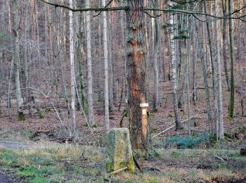
![Tocht Te voet Waldenbuch - Herzog-Jäger-Pfad Premiumwanderweg - Photo](https://media.geolcdn.com/t/350/260/96c89033-12cf-4e4b-9db1-7388ac97ce29.jpeg&format=jpg&maxdim=2)
![Te voet Te voet](https://static1.geolcdn.com/sitytour/trail-icons/100.png)
Km
Te voet
![](/images/other/stat-length.png)
![](https://static1.geolcdn.com/siteimages/upload/files/1508320355ic_sort_den_pos_24dp.png)
![](https://static1.geolcdn.com/siteimages/upload/files/1508320355ic_sort_den_neg_24dp.png)
![](https://static1.geolcdn.com/siteimages/upload/files/16400158638029165_repeat_loop_refresh_sync_direction_icon.png)
• Trail created by Stadt Waldenbuch. Symbol: Stilisierte Krone auf weißem Hintergrund Website: http://www.herzog-jae...
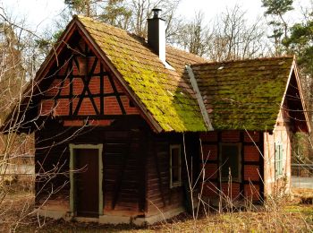
![Tocht Te voet Herrenberg - SchönbuchTrauf - Photo](https://media.geolcdn.com/t/350/260/496e4741-0ecb-4ee7-b217-cb0c6e498471.jpeg&format=jpg&maxdim=2)
![Te voet Te voet](https://static1.geolcdn.com/sitytour/trail-icons/100.png)
Km
Te voet
![](/images/other/stat-length.png)
![](https://static1.geolcdn.com/siteimages/upload/files/1508320355ic_sort_den_pos_24dp.png)
![](https://static1.geolcdn.com/siteimages/upload/files/1508320355ic_sort_den_neg_24dp.png)
![](https://static1.geolcdn.com/siteimages/upload/files/16400158638029165_repeat_loop_refresh_sync_direction_icon.png)
• Trail created by Landkreis Böblingen. Symbol: Gelber Kreis auf weißem Grund Website: https://www.schoenbuch-hecken...
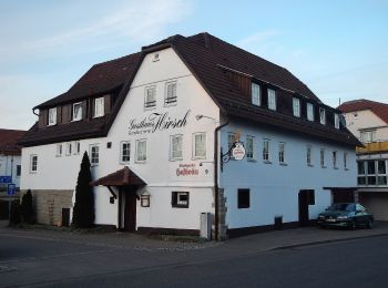
![Tocht Te voet Leonberg - DE-SAV Blauer Punkt, Warmbronn Steigwaldstraße - Leonberg Bhf - Photo](https://media.geolcdn.com/t/350/260/65303441-be1d-47b8-af4e-b43dca9051c2.jpeg&format=jpg&maxdim=2)
![Te voet Te voet](https://static1.geolcdn.com/sitytour/trail-icons/100.png)
Km
Te voet
![](/images/other/stat-length.png)
![](https://static1.geolcdn.com/siteimages/upload/files/1508320355ic_sort_den_pos_24dp.png)
![](https://static1.geolcdn.com/siteimages/upload/files/1508320355ic_sort_den_neg_24dp.png)
![](https://static1.geolcdn.com/siteimages/upload/files/16400158638029165_repeat_loop_refresh_sync_direction_icon.png)
• Trail created by Schwäbischer Albverein. SAV Blauer Punkt, Warmbronn Steigwaldstraße - Leonberg Bhf Symbol: Blauer ...
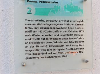
![Tocht Te voet Renningen - Mühle - Kammerforst - Photo](https://media.geolcdn.com/t/350/260/25942bb6-e68b-4288-a38c-11149eef78b5.jpeg&format=jpg&maxdim=2)
![Te voet Te voet](https://static1.geolcdn.com/sitytour/trail-icons/100.png)
Km
Te voet
![](/images/other/stat-length.png)
![](https://static1.geolcdn.com/siteimages/upload/files/1508320355ic_sort_den_pos_24dp.png)
![](https://static1.geolcdn.com/siteimages/upload/files/1508320355ic_sort_den_neg_24dp.png)
![](https://static1.geolcdn.com/siteimages/upload/files/16400158638029165_repeat_loop_refresh_sync_direction_icon.png)
• Trail created by Schwarzwaldverein. Symbol: Gelbe Raute auf weißem Grund
![Tocht Te voet Weil der Stadt - DE-SWV Gelbe Raute, Aidlingen Am Kieneberg - Steckental - Photo](https://media.geolcdn.com/t/350/260/3f457e0d-64b3-411e-8926-f3c6355ad138.jpeg&format=jpg&maxdim=2)
![Te voet Te voet](https://static1.geolcdn.com/sitytour/trail-icons/100.png)
Km
Te voet
![](/images/other/stat-length.png)
![](https://static1.geolcdn.com/siteimages/upload/files/1508320355ic_sort_den_pos_24dp.png)
![](https://static1.geolcdn.com/siteimages/upload/files/1508320355ic_sort_den_neg_24dp.png)
![](https://static1.geolcdn.com/siteimages/upload/files/16400158638029165_repeat_loop_refresh_sync_direction_icon.png)
• Trail created by Schwarzwaldverein. SWV Gelbe Raute, Aidlingen Am Kieneberg - Steckental Symbol: Gelbe Raute auf we...
20 tochten weergegeven op 62
Gratisgps-wandelapplicatie