![](/images/other/stat-length.png)
- Tochten
- Te voet
- Germany
- Baden-Württemberg
- Landkreis Böblingen
- Weil der Stadt
Weil der Stadt, Landkreis Böblingen, Te voet: Top van de beste wandelroutes, trajecten, tochten en wandelingen
Weil der Stadt: Ontdek de beste tochten: 8 te voet. Al deze tochten, trajecten, routes en outdoor activiteiten zijn beschikbaar in onze SityTrail-apps voor smartphones en tablets.
De beste trajecten (8)
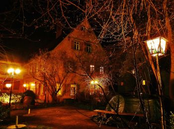
![Tocht Te voet Weil der Stadt - Johannes-Kepler-Planetenweg - Photo](https://media.geolcdn.com/t/350/260/4775634c-8bd8-4b5f-92ab-bc3017f1b51f.jpeg&format=jpg&maxdim=2)
![Te voet Te voet](https://static1.geolcdn.com/sitytour/trail-icons/100.png)
Km
Te voet
![](/images/other/stat-length.png)
![](https://static1.geolcdn.com/siteimages/upload/files/1508320355ic_sort_den_pos_24dp.png)
![](https://static1.geolcdn.com/siteimages/upload/files/1508320355ic_sort_den_neg_24dp.png)
![](https://static1.geolcdn.com/siteimages/upload/files/16400158638029165_repeat_loop_refresh_sync_direction_icon.png)
• Trail created by Kepler-Gesellschaft e.V..
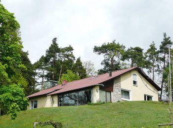
![Tocht Te voet Weil der Stadt - DE-SWV Gelbe Raute, Prediktplatz - Schneller West - Photo](https://media.geolcdn.com/t/350/260/5241fc3d-3655-4d2a-a275-18e096679628.jpeg&format=jpg&maxdim=2)
![Te voet Te voet](https://static1.geolcdn.com/sitytour/trail-icons/100.png)
Km
Te voet
![](/images/other/stat-length.png)
![](https://static1.geolcdn.com/siteimages/upload/files/1508320355ic_sort_den_pos_24dp.png)
![](https://static1.geolcdn.com/siteimages/upload/files/1508320355ic_sort_den_neg_24dp.png)
![](https://static1.geolcdn.com/siteimages/upload/files/16400158638029165_repeat_loop_refresh_sync_direction_icon.png)
• Trail created by Schwarzwaldverein. SWV Gelbe Raute, Prediktplatz - Schneller West Symbol: Gelbe Raute auf weißem G...
![Tocht Te voet Weil der Stadt - DE-SWV gelbe Raute, Merklingen Bauhof - Eisberg - Photo](https://media.geolcdn.com/t/350/260/4775634c-8bd8-4b5f-92ab-bc3017f1b51f.jpeg&format=jpg&maxdim=2)
![Te voet Te voet](https://static1.geolcdn.com/sitytour/trail-icons/100.png)
Km
Te voet
![](/images/other/stat-length.png)
![](https://static1.geolcdn.com/siteimages/upload/files/1508320355ic_sort_den_pos_24dp.png)
![](https://static1.geolcdn.com/siteimages/upload/files/1508320355ic_sort_den_neg_24dp.png)
![](https://static1.geolcdn.com/siteimages/upload/files/16400158638029165_repeat_loop_refresh_sync_direction_icon.png)
• Trail created by Schwarzwaldverein. SWV gelbe Raute, Merklingen Bauhof - Eisberg Symbol: Gelbe Raute auf weißem Grund
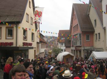
![Tocht Te voet Weil der Stadt - Landesvermessungsweg - Photo](https://media.geolcdn.com/t/350/260/ca0cdb4e-c25d-4584-9d8e-164a10660179.jpeg&format=jpg&maxdim=2)
![Te voet Te voet](https://static1.geolcdn.com/sitytour/trail-icons/100.png)
Km
Te voet
![](/images/other/stat-length.png)
![](https://static1.geolcdn.com/siteimages/upload/files/1508320355ic_sort_den_pos_24dp.png)
![](https://static1.geolcdn.com/siteimages/upload/files/1508320355ic_sort_den_neg_24dp.png)
![](https://static1.geolcdn.com/siteimages/upload/files/16400158638029165_repeat_loop_refresh_sync_direction_icon.png)
• Symbol: Geodät mit Schriftzug Landesvermessungsweg
![Tocht Te voet Weil der Stadt - DE-SWV Gelbe Raute, Aidlingen Am Kieneberg - Steckental - Photo](https://media.geolcdn.com/t/350/260/3f457e0d-64b3-411e-8926-f3c6355ad138.jpeg&format=jpg&maxdim=2)
![Te voet Te voet](https://static1.geolcdn.com/sitytour/trail-icons/100.png)
Km
Te voet
![](/images/other/stat-length.png)
![](https://static1.geolcdn.com/siteimages/upload/files/1508320355ic_sort_den_pos_24dp.png)
![](https://static1.geolcdn.com/siteimages/upload/files/1508320355ic_sort_den_neg_24dp.png)
![](https://static1.geolcdn.com/siteimages/upload/files/16400158638029165_repeat_loop_refresh_sync_direction_icon.png)
• Trail created by Schwarzwaldverein. SWV Gelbe Raute, Aidlingen Am Kieneberg - Steckental Symbol: Gelbe Raute auf we...
![Tocht Te voet Weil der Stadt - Land.Tour.Pfadfinder - Photo](https://media.geolcdn.com/t/350/260/ca0cdb4e-c25d-4584-9d8e-164a10660179.jpeg&format=jpg&maxdim=2)
![Te voet Te voet](https://static1.geolcdn.com/sitytour/trail-icons/100.png)
Km
Te voet
![](/images/other/stat-length.png)
![](https://static1.geolcdn.com/siteimages/upload/files/1508320355ic_sort_den_pos_24dp.png)
![](https://static1.geolcdn.com/siteimages/upload/files/1508320355ic_sort_den_neg_24dp.png)
![](https://static1.geolcdn.com/siteimages/upload/files/16400158638029165_repeat_loop_refresh_sync_direction_icon.png)
• Trail created by Landratsamt Böblingen. Website: https://schoenbuch-heckengaeu.de/freizeitplaner/?item=8900757
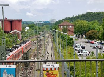
![Tocht Te voet Weil der Stadt - Weil der Stadt - Ruine Liebeneck - Photo](https://media.geolcdn.com/t/350/260/f33e23db-9c22-4aa1-a0c1-cc3122d2c12a.jpeg&format=jpg&maxdim=2)
![Te voet Te voet](https://static1.geolcdn.com/sitytour/trail-icons/100.png)
Km
Te voet
![](/images/other/stat-length.png)
![](https://static1.geolcdn.com/siteimages/upload/files/1508320355ic_sort_den_pos_24dp.png)
![](https://static1.geolcdn.com/siteimages/upload/files/1508320355ic_sort_den_neg_24dp.png)
![](https://static1.geolcdn.com/siteimages/upload/files/16400158638029165_repeat_loop_refresh_sync_direction_icon.png)
• Trail created by Schwarzwaldverein. Symbol: Blaue Raute auf weißem Grund
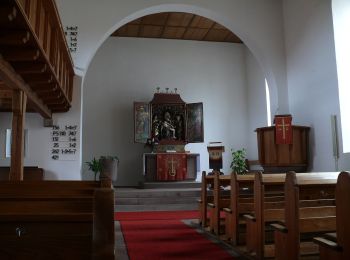
![Tocht Te voet Weil der Stadt - Weil der Stadt - Monbachtal - Photo](https://media.geolcdn.com/t/350/260/a5f4fbee-0376-4aee-84a4-3c4c95e4fea8.jpeg&format=jpg&maxdim=2)
![Te voet Te voet](https://static1.geolcdn.com/sitytour/trail-icons/100.png)
Km
Te voet
![](/images/other/stat-length.png)
![](https://static1.geolcdn.com/siteimages/upload/files/1508320355ic_sort_den_pos_24dp.png)
![](https://static1.geolcdn.com/siteimages/upload/files/1508320355ic_sort_den_neg_24dp.png)
![](https://static1.geolcdn.com/siteimages/upload/files/16400158638029165_repeat_loop_refresh_sync_direction_icon.png)
• Trail created by Schwarzwaldverein. Symbol: Blaue Raute auf weißem Grund
8 tochten weergegeven op 8
Gratisgps-wandelapplicatie