


8,9 km | 10,7 km-effort
Creuse : découvrez les meilleures randonnées : 740 pédestres, 229 à vélo ou VTT et 45 parcours équestres. Tous ces circuits, parcours, itinéraires et activités en plein air sont disponibles dans nos applications SityTrail pour smartphones et tablettes.
Marche


• Circuit proposé par l'Office de Tourisme de Guéret. Départ de la place de l'église. Retrouvez le circuit et son descr...
Marche
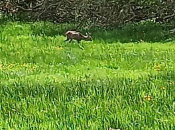
• Circuit proposé par l'Office de Tourisme de Guéret. Départ du parc animalier des monts de Guéret « Les loups de Chabr...
Marche
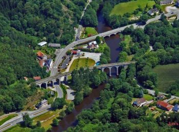
• Circuit au pays de Vassivière. Les villages qui bordent ce circuit sont marqués par une architecture typique du plate...
Marche
Marche
• Découverte des sentiers en plaine de ladapeyre

Marche
Marche
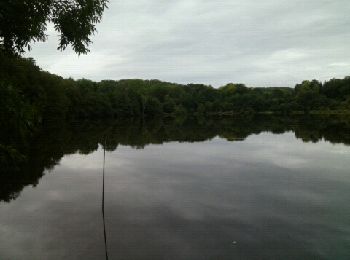
• Le tour du lac
Marche nordique

Cheval
• Les chassagnes, Bridier, Lavaud retour par etang du Cheix
Cheval
• Saint Maurice La Souterraine
Cheval
• Rando à Noth le 15/08/17

Course à pied
• Routes de campagne tranquilles. Un passage devant deux yourtes jumelées.
Marche
•
Marche
• Superbe parcours sans difficulté hormis la durée. Temps fait en mode trail, marche et course. Départ au camping bois ...
 31.201
sport
• Les couleurs sublimes en ce mois de mai
Marche
• Parcours moyen Mauvais balisage Bon chemin sur la fin env 2 km
Marche
• Super chemin le plus beau depuis là Souterraine Nombreuses sources ou fontaines Gîte communal de St Martin Château ...
Marche
• randonnée
Marche
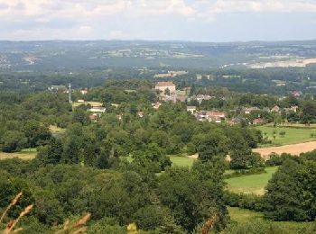
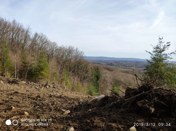
• circuit facile avec un panorama sur les monts du massif central. beaucoup de route sur la fin (dommage)
Marche
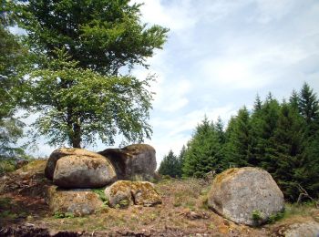
• Joli circuit pas très compliqué avec de beaux points de vues. comprend un aller retour de 1,5n km pour voir les roches.
20 randonnées affichées sur 1097
Application GPS de randonnée GRATUITE
 SityTrail
IGN / Instituts géographiques
SityTrail World
Le monde est à vous