


8,9 km | 10,7 km-effort
Creuse : découvrez les meilleures randonnées : 18 a pied, 504 marche, 194 marche nordique, 18 course à pied et 6 trail. Tous ces circuits, parcours, itinéraires et activités en plein air sont disponibles dans nos applications SityTrail pour smartphones et tablettes.
Marche


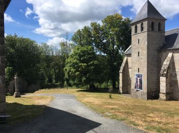
• Circuit proposé par l'Office de Tourisme de Guéret. Départ de la place de l'église. Retrouvez le circuit et son descr...
Marche
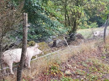
• Circuit proposé par l'Office de Tourisme de Guéret. Départ du parc animalier des monts de Guéret « Les loups de Chabr...
Marche
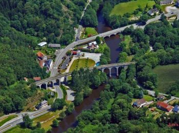
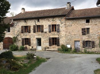
• Circuit au pays de Vassivière. Les villages qui bordent ce circuit sont marqués par une architecture typique du plate...
Marche
Marche
• Découverte des sentiers en plaine de ladapeyre

Marche
Marche
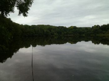
• Le tour du lac
Marche nordique

Course à pied
• Routes de campagne tranquilles. Un passage devant deux yourtes jumelées.
Marche
•
Marche
• Superbe parcours sans difficulté hormis la durée. Temps fait en mode trail, marche et course. Départ au camping bois ...
Marche
• Parcours moyen Mauvais balisage Bon chemin sur la fin env 2 km
Marche
• Super chemin le plus beau depuis là Souterraine Nombreuses sources ou fontaines Gîte communal de St Martin Château ...
Marche
• randonnée
Marche
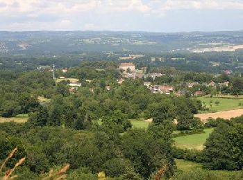
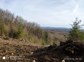
• circuit facile avec un panorama sur les monts du massif central. beaucoup de route sur la fin (dommage)
Marche
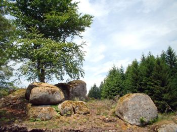
• Joli circuit pas très compliqué avec de beaux points de vues. comprend un aller retour de 1,5n km pour voir les roches.
Marche
• Peu de pentes , passages ombragés, tourbières
Marche
Course à pied
• de royeres-de,vassiviere
Course à pied
• de Aubusson à Royere-de-Vassiviere
20 randonnées affichées sur 740
Application GPS de randonnée GRATUITE
 SityTrail
IGN / Instituts géographiques
SityTrail World
Le monde est à vous