


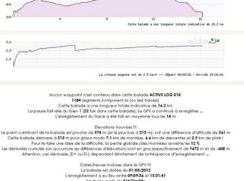
15 km | 26 km-effort
Ariège : découvrez les meilleures randonnées : 2 791 pédestres, 364 à vélo ou VTT et 109 parcours équestres. Tous ces circuits, parcours, itinéraires et activités en plein air sont disponibles dans nos applications SityTrail pour smartphones et tablettes.
Marche


• 2ème reco pour trouver le raccourci.
Marche
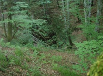
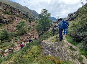
• Rando au départ du gr10 de st Lizier d'Ustou , environ 1h de montée sans difficultés.
Marche
• Itinéraire N°35 du guide N° édité par l'office du tourisme des vallées d'Ax. Retour un peu différent par des pistes f...
Marche nordique
• Rando raquettes
Marche
• Boucle qui offre de beaux points de vue sur Saint Lizier et la chaîne pyrénéenne. Départ du quartier de Beauregard, p...
Marche
•
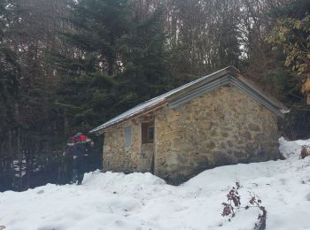
2012 - Camp de base : Vicdessos - 10 sep -
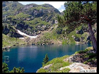
L´Étang Bleu des 3 Seigneurs (boucle).
Départ parking terminal de ...
Marche
• marche
Marche
• Circuit proposé par l’Office de Tourisme de Tarascon & du Vicdessos. Départ : A l’entrée du village de Croquié, au gr...
Marche
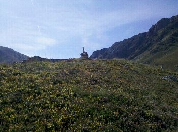
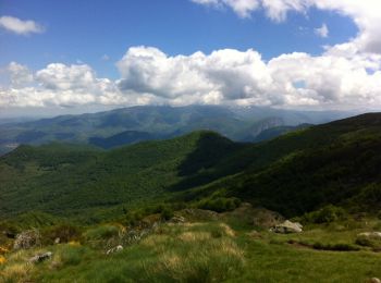
• Le massif de Tabe en Ariège se situe au nord de la chaîne frontalière des Pyrénées, et malgré son altitude modeste (s...
V.T.T.
• Circuit dans le Piémont Pyrénéen, dans un cadre très rural, presque montagnard. Le parcours s'effectue souvent au mil...
Marche
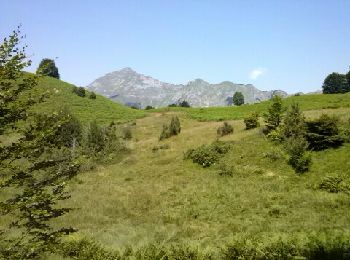
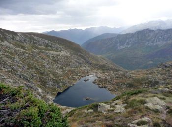
• Départ port de Lers, Pic des Trois Seigneurs et retour par l'étang d'Arbu.
Marche
Marche

Marche
• Couserans - GR10
Marche
Marche
•
Marche
• Boucle qui démarre sur la place près de la rivière. Si vous venez de Toulouse passez par le village Carla-Bayle en hi...
Marche
• Une balade en boucle depuis le Col des Marrous pour monter au Planel en passant par les Gours et en descendant par La...
Marche
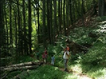
• Grand comme trois fois la ville de Paris, le Haut-Couserans se situe au coeur des Pyrénées Ariègeoises à 1h30 de Toul...
Marche
• Grand comme trois fois la ville de Paris, le Haut-Couserans se situe au coeur des Pyrénées Ariègeoises à 1h30 de Toul...
20 randonnées affichées sur 3562
Application GPS de randonnée GRATUITE
 SityTrail
IGN / Instituts géographiques
SityTrail World
Le monde est à vous