


13,8 km | 18 km-effort
Bélesta : découvrez les meilleures randonnées : 10 pédestres et 2 à vélo ou VTT. Tous ces circuits, parcours, itinéraires et activités en plein air sont disponibles dans nos applications SityTrail pour smartphones et tablettes.
Marche


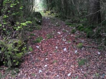
• accès 1
Autre activité
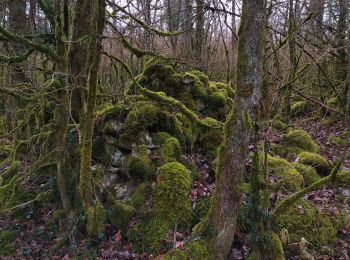
• vérification du trou souffleur
Autre activité
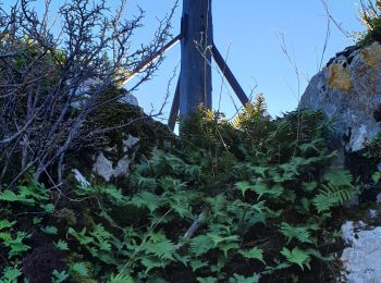
• accès au trou a desobstruer
Autre activité
• Ballade vers les mijanes à la recherche de mitrailles au sud : plutôt décevant...
Autre activité
• Sur le flanc à l'ouest du hameau de couquet Lieu dit taillade
Marche
Autre activité
• speleo
Marche
Marche
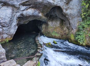
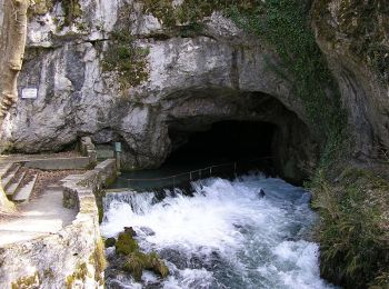
• Garez vous au parking de la Fontaine Fontestorbes puis partez vers la croix de Millet (1h20) , prenez votre temps, di...
Autre activité
Marche
• De la douceur du piémont à la fière verticalité pyrénéenne, l'Ariège décline avec bonheur tous les plaisirs de la ran...
Marche

Marche
• rando au départ de Bélesta (pour éviter la cohue des parkings), passage à Fontestorbes, montée forte au début dans la...
Autre activité

Vélo de route
Vélo de route
Marche
• Au dessus Espalisses
Marche
Autre activité
Autre activité
20 randonnées affichées sur 21
Application GPS de randonnée GRATUITE
 SityTrail
IGN / Instituts géographiques
SityTrail World
Le monde est à vous