


4,4 km | 5,7 km-effort
La Bastide-de-Sérou : découvrez les meilleures randonnées : 19 pédestres, 2 à vélo ou VTT et 2 parcours équestres. Tous ces circuits, parcours, itinéraires et activités en plein air sont disponibles dans nos applications SityTrail pour smartphones et tablettes.

A pied


Course à pied
• Trail ou rando course principalement en sous bois très agréable
V.T.T.
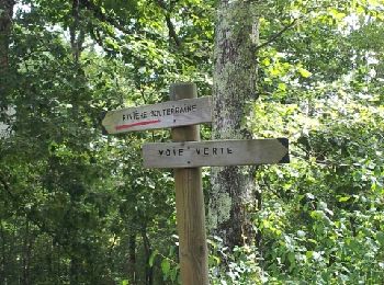
• voie verte
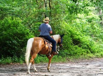
Cheval
• Deuxième étape de la Boucle des Balcons des Pyrénées. D’autres infos ici . Balade proposée par le Bureau des Guides É...
Cheval
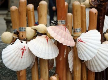
• Sixième étape des Chemins de St Jacques. D’autres infos sur Les Chemins de Saint-Jacques de Compostelle . Balade prop...

Course à pied
• Petit circuit trail
Course à pied
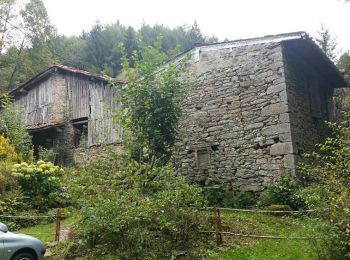
• Suivre piste jaune vers Nescus puis la grange

Marche
Marche
Marche
Marche
Marche
Marche
Marche
Marche
Marche
Marche
A pied
A pied
A pied
20 randonnées affichées sur 24
Application GPS de randonnée GRATUITE
 SityTrail
IGN / Instituts géographiques
SityTrail World
Le monde est à vous