


14 km | 17,5 km-effort
Corrèze : découvrez les meilleures randonnées : 94 a pied, 1199 marche, 11 marche nordique, 27 course à pied et 40 trail. Tous ces circuits, parcours, itinéraires et activités en plein air sont disponibles dans nos applications SityTrail pour smartphones et tablettes.
Marche


• Après ou avant la rando, se rendre au Rocher du peintre, à 500 m du village. Vue sur les gorges de la Cère.
Marche
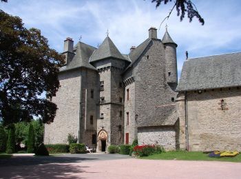
• Un éventail de points de vue de Loubressac à Carennac. De Bilhac, l’église et le château aux origines médiévales anno...
Marche
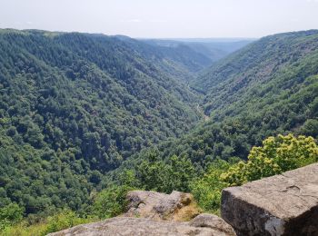
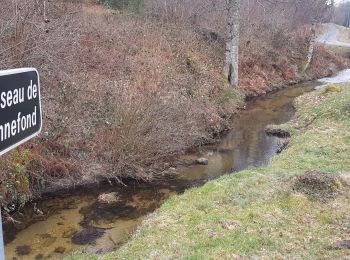
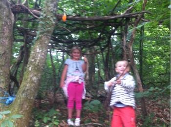
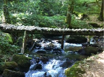
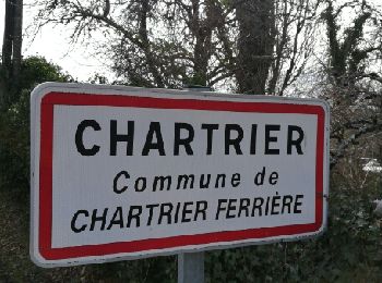
• Boucle de la source de la Corrèze et ses premiers ponts.
Marche
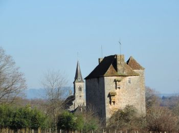
• Darnets_chateau de ventadour sur sentier ombragé et nécessitant bâtons le long du ruisseau du moulin de Lieuteret. R...
Marche
• rando campagnarde
Marche
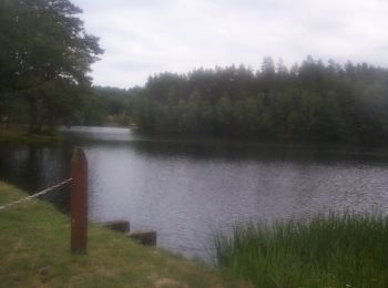
• tour du lac
Marche
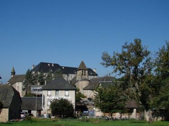
• A son point de départ, le circuit vous présente la richesse patrimoniale de Sainte-Fortunade : son église bâtie autou...
Marche
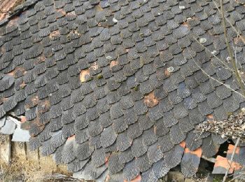
• Granite blond ou plus sombre, il est partout... Maisons, corps de ferme, cheminées à redents, fours et puits dissémin...
Marche
• Serpentant en permanence en sous-bois ombragé de part et d'autre des gorges de la Glane, ce circuit physique effectue...
Marche
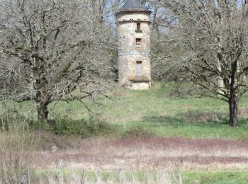
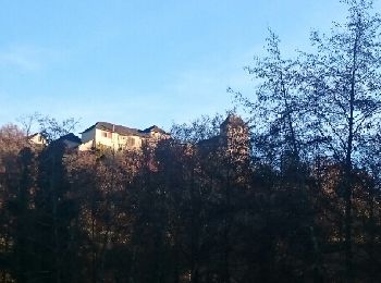
• Au départ du bourg, la randonnée "Entre étangs et châteaux" vous fera découvrir les multiples aspects du patrimoine d...
Marche
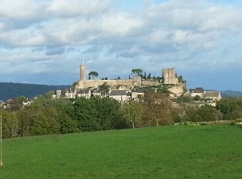
• Partez à la découverte de la forêt de Turenne. Au départ du bourg de Turenne, cette balade vous fera découvrir un jol...
Marche
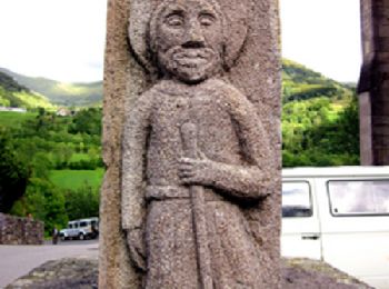
• Etape 15 de la via Arverna, chemin de Saint Jacques de Compostelle entre Clermont-Ferrand et Cahors. Transition de la...
Marche
• C'est un tour familiale sur lequel on y trouve des coins pour la pêche, un centre équestre ou l'on peut faire du chev...
Marche
• Voici le Parcourt que vous aller faire... il était signalé en bleu... ne le cherchez pas.. trop dangereux il a été re...
Marche
• Balade sympathique aux portes de Brive où vous aurez de magnifiques vues sur le Bassin de Brive et sur le Causse Corr...
Marche
• Départ de Garavet, au bord de la Vézère.
Marche
Marche
•
Ayen, 21 juin 2016
- Les Coteaux d'Ayen, boucle Sud -
(d'après la fiche du C.G. Corrèze)
9...

Marche
• Départ : De Louignac, prendre direction Villac. A 3 km environ, prendre à droite direction "Les Seigles, La Reynie". ...
Marche
• Départ de la placette située dans l'angle de la D86, pas loin de l'église. La Tine est une marmite creusée par le rui...
20 randonnées affichées sur 1364
Application GPS de randonnée GRATUITE
 SityTrail
IGN / Instituts géographiques
SityTrail World
Le monde est à vous