


16,1 km | 21 km-effort
Saint-Merd-les-Oussines : découvrez les meilleures randonnées : 12 marche. Tous ces circuits, parcours, itinéraires et activités en plein air sont disponibles dans nos applications SityTrail pour smartphones et tablettes.
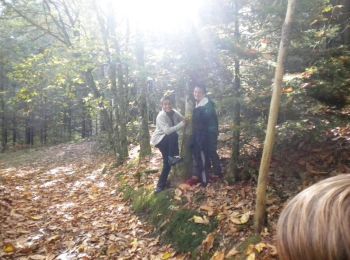
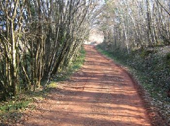
Marche


• Du site des Cars à la tourbière du Longeyroux - Saint Merd les Oussines - Pays de Haute Corrèze. Au programme de la b...
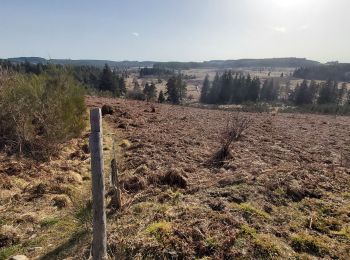
Marche
• Très jolie boucle entre forêts et tourbières (de Longeyroux)

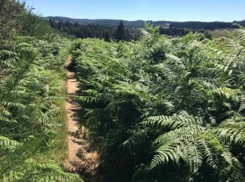
Marche
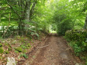
Marche
Marche
Marche
• L'Étang du Diable - Saint Merd les Oussines - Pays de Haute Corrèze. Ce circuit au départ du bourg de Saint Merd les ...
Marche
• Issue de Rando Passion
Marche
Marche
Marche
Marche
Marche
12 randonnées affichées sur 12
Application GPS de randonnée GRATUITE
 SityTrail
IGN / Instituts géographiques
SityTrail World
Le monde est à vous