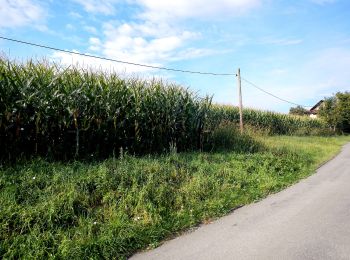
Bezirk Deutschlandsberg, Styrie, A pied : Les meilleures randonnées, itinéraires, parcours, balades et promenades

Bezirk Deutschlandsberg : découvrez les meilleures randonnées : 77 a pied. Tous ces circuits, parcours, itinéraires et activités en plein air sont disponibles dans nos applications SityTrail pour smartphones et tablettes.


Les meilleurs parcours (77)

Randonnée A pied Eibiswald - R1 Eibiswalder Rundweg - Photo
A pied 14.246
Km
GUIDE+

A pied

Moyen
Eibiswald, Styrie, Bezirk Deutschlandsberg, Autriche
14,2 km | 20 km-effort
4h 36min
449 m
455 m
Oui
SityTrail - itinéraires balisés pédestres

• Randonnée créée par ÖAV Graz. Symbole: rot-weiss-rot + schwarz R1

Randonnée A pied Eibiswald - Wanderweg 40 - Photo
A pied 7.643
Km
GUIDE+

A pied

Facile
Eibiswald, Styrie, Bezirk Deutschlandsberg, Autriche
7,6 km | 12 km-effort
2h 43min
409 m
67 m
Non
SityTrail - itinéraires balisés pédestres

• Randonnée créée par ÖAV Graz. Symbole: rot-weiss-rot + schwarz 40

Randonnée A pied Wies - 2-Elemente-Weg - Photo
A pied 18.464
Km
GUIDE+

A pied

Moyen
Wies, Styrie, Bezirk Deutschlandsberg, Autriche
18,5 km | 28 km-effort
6h 20min
750 m
591 m
Non
SityTrail - itinéraires balisés pédestres

• Randonnée créée par schilcherland.at.

Randonnée A pied Deutschlandsberg - Scheidsberg-Rundweg - Photo
A pied 6.377
Km
GUIDE+

A pied

Facile
Deutschlandsberg, Styrie, Bezirk Deutschlandsberg, Autriche
6,4 km | 8,8 km-effort
1h 59min
181 m
182 m
Oui
SityTrail - itinéraires balisés pédestres

• Randonnée créée par Tourismusverband Schilcherland.

Randonnée A pied Deutschlandsberg - Rundweg über Schloss Frauental - Photo
A pied 10.675
Km
GUIDE+

A pied

Facile
Deutschlandsberg, Styrie, Bezirk Deutschlandsberg, Autriche
10,7 km | 13,8 km-effort
3h 8min
234 m
234 m
Oui
SityTrail - itinéraires balisés pédestres

• Randonnée créée par Tourismusverband Schilcherland.
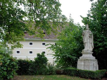
Randonnée A pied Sankt Stefan ob Stainz - Rundwanderweg 8 - Photo
A pied 4.19
Km
GUIDE+

A pied

Facile
Sankt Stefan ob Stainz, Styrie, Bezirk Deutschlandsberg, Autriche
4,2 km | 4,5 km-effort
1h 1min
8 m
76 m
Non
SityTrail - itinéraires balisés pédestres

• http://wiki.openstreetmap.org/index.php?title=WikiProject_Austria/Wanderwege Symbole: rot - weiss - rot
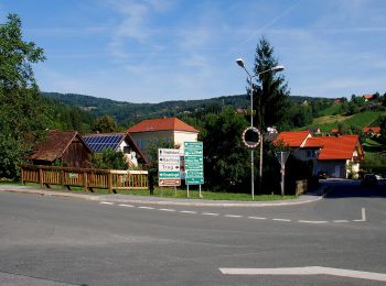
Randonnée A pied Stainz - Kapellenweg Rundwanderweg - Photo
A pied 5.275
Km
GUIDE+

A pied

Facile
Stainz, Styrie, Bezirk Deutschlandsberg, Autriche
5,3 km | 8,8 km-effort
1h 59min
295 m
168 m
Non
SityTrail - itinéraires balisés pédestres

• Randonnée créée par TVB Schilcherland. Symbole: rot-weiss-rot 3
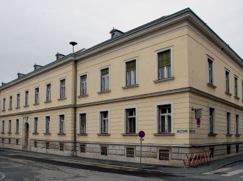
Randonnée A pied Stainz - Rundwanderweg 6 - Photo
A pied 8.964
Km
GUIDE+

A pied

Facile
Stainz, Styrie, Bezirk Deutschlandsberg, Autriche
9 km | 10,3 km-effort
2h 20min
97 m
103 m
Non
SityTrail - itinéraires balisés pédestres

• Randonnée créée par TVB Schilcherland. http://wiki.openstreetmap.org/index.php?title=WikiProject_Austria/Wanderwege ...
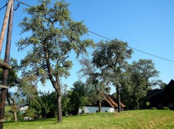
Randonnée A pied Stainz - Rundwanderweg 5 - Photo
A pied 5.709
Km
GUIDE+

A pied

Facile
Stainz, Styrie, Bezirk Deutschlandsberg, Autriche
5,7 km | 7,4 km-effort
1h 41min
128 m
126 m
Oui
SityTrail - itinéraires balisés pédestres

• Randonnée créée par TVB Schilcherland. http://wiki.openstreetmap.org/index.php?title=WikiProject_Austria/Wanderwege ...
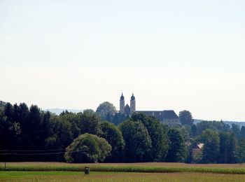
Randonnée A pied Stainz - Wanderweg 2 - Photo
A pied 5.796
Km
GUIDE+

A pied

Facile
Stainz, Styrie, Bezirk Deutschlandsberg, Autriche
5,8 km | 9,1 km-effort
2h 3min
326 m
11 m
Non
SityTrail - itinéraires balisés pédestres

• Randonnée créée par TVB Schilcherland.

Randonnée A pied Stainz - Wanderweg 13 - Photo
A pied 4.58
Km
GUIDE+

A pied

Facile
Stainz, Styrie, Bezirk Deutschlandsberg, Autriche
4,6 km | 7,3 km-effort
1h 39min
205 m
190 m
Non
SityTrail - itinéraires balisés pédestres

• Randonnée créée par TVB Schilcherland. Symbole: rot-weiss-rot 13
Randonnée A pied Stainz - Wanderweg 4 - Photo
A pied 6.828
Km
GUIDE+

A pied

Facile
Stainz, Styrie, Bezirk Deutschlandsberg, Autriche
6,8 km | 8,4 km-effort
1h 54min
125 m
92 m
Non
SityTrail - itinéraires balisés pédestres

• Symbole: rot-weiss-rot 4

Randonnée A pied Stainz - Rundwanderweg 7 - Photo
A pied 7.924
Km
GUIDE+

A pied

Facile
Stainz, Styrie, Bezirk Deutschlandsberg, Autriche
7,9 km | 9,8 km-effort
2h 13min
140 m
140 m
Oui
SityTrail - itinéraires balisés pédestres

• Randonnée créée par TVB Schilcherland. http://wiki.openstreetmap.org/index.php?title=WikiProject_Austria/Wanderwege ...

Randonnée A pied Stainz - Wanderweg 16 - Photo
A pied 10.405
Km
GUIDE+

A pied

Facile
Stainz, Styrie, Bezirk Deutschlandsberg, Autriche
10,4 km | 12,4 km-effort
2h 49min
150 m
150 m
Oui
SityTrail - itinéraires balisés pédestres

• Randonnée créée par TVB Schilcherland. http://wiki.openstreetmap.org/wiki/WikiProject_Austria/Wanderwege Symbole: r...
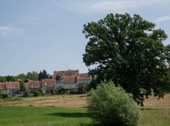
Randonnée A pied Sankt Josef - Wanderweg 17 - Photo
A pied 7.249
Km
GUIDE+

A pied

Facile
Sankt Josef, Styrie, Bezirk Deutschlandsberg, Autriche
7,2 km | 9,7 km-effort
2h 11min
185 m
174 m
Non
SityTrail - itinéraires balisés pédestres

• Randonnée créée par TVB Schilcherland. http://wiki.openstreetmap.org/wiki/WikiProject_Austria/Wanderwege Symbole: r...
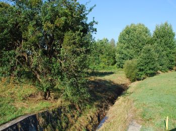
Randonnée A pied Stainz - Georgsberg Rundweg - Photo
A pied 11.593
Km
GUIDE+

A pied

Facile
Stainz, Styrie, Bezirk Deutschlandsberg, Autriche
11,6 km | 15 km-effort
3h 24min
257 m
259 m
Oui
SityTrail - itinéraires balisés pédestres

• http://wiki.openstreetmap.org/wiki/WikiProject_Austria/Wanderwege Symbole: rot-weiss-rot 15 Site web: http://www.w...
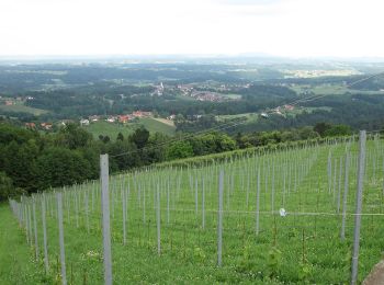
Randonnée A pied Sankt Stefan ob Stainz - GenussSchilchern dort - Photo
A pied 9.021
Km
GUIDE+

A pied

Facile
Sankt Stefan ob Stainz, Styrie, Bezirk Deutschlandsberg, Autriche
9 km | 14,1 km-effort
3h 12min
383 m
387 m
Oui
SityTrail - itinéraires balisés pédestres

• Randonnée créée par Region Reinischkogel. http://wiki.openstreetmap.org/wiki/WikiProject_Austria/Wanderwege Symbole...
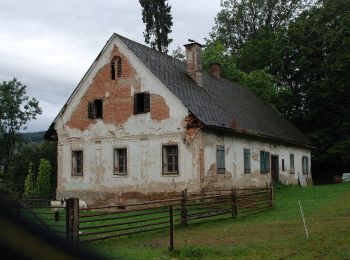
Randonnée A pied Sankt Stefan ob Stainz - GenussSchilchern da Westliche Runde - Photo
A pied 7.577
Km
GUIDE+

A pied

Facile
Sankt Stefan ob Stainz, Styrie, Bezirk Deutschlandsberg, Autriche
7,6 km | 11,3 km-effort
2h 33min
276 m
278 m
Oui
SityTrail - itinéraires balisés pédestres

• Randonnée créée par Region Reinischkogel. http://wiki.openstreetmap.org/wiki/WikiProject_Austria/Wanderwege Symbole...
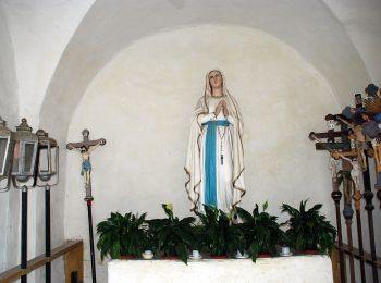
Randonnée A pied Sankt Stefan ob Stainz - GenussSchilchern da Mittlere Runde - Photo
A pied 6.2
Km
GUIDE+

A pied

Facile
Sankt Stefan ob Stainz, Styrie, Bezirk Deutschlandsberg, Autriche
6,2 km | 8,9 km-effort
2h 1min
205 m
209 m
Oui
SityTrail - itinéraires balisés pédestres

• Randonnée créée par Region Reinischkogel. http://wiki.openstreetmap.org/wiki/WikiProject_Austria/Wanderwege Symbole...
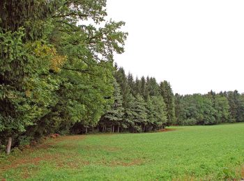
Randonnée A pied Sankt Stefan ob Stainz - GenussSchilchern da Östliche Runde - Photo
A pied 5.931
Km
GUIDE+

A pied

Facile
Sankt Stefan ob Stainz, Styrie, Bezirk Deutschlandsberg, Autriche
5,9 km | 8,7 km-effort
1h 59min
212 m
209 m
Oui
SityTrail - itinéraires balisés pédestres

• Randonnée créée par Region Reinischkogel. http://wiki.openstreetmap.org/wiki/WikiProject_Austria/Wanderwege Symbole...

20 randonnées affichées sur 77

Application GPS de randonnée GRATUITE

Logo SityTrail SityTrail

IGN / Instituts géographiques

Télécharger SityTrail sur l'App Store Télécharger SityTrail sur Google Play

Logo SityTrail SityTrail World

Le monde est à vous

Télécharger SityTrail sur l'App Store Télécharger SityTrail sur Google Play Télécharger SityTrail sur Huawei AppGallery

Activités

Régions proches

Fermer
Mes abonnements