


13.1 km | 23 km-effort

Walking

Walking
Walking
Walking
Walking
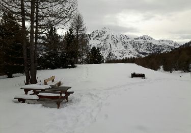
Snowshoes

Walking

Walking
Walking

Walking
Walking
Walking
Walking
Walking
Walking
Walking

Walking

Walking

Walking
Walking