


5.9 km | 8.7 km-effort

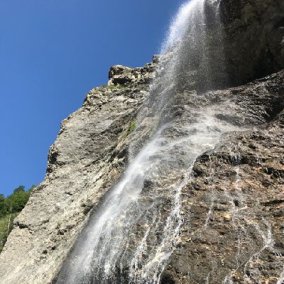
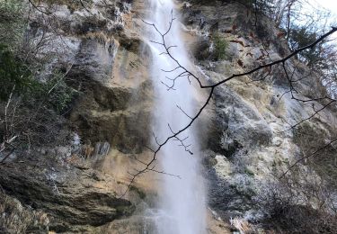
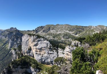
Walking
Walking
Walking
Walking
Walking
Walking
Walking
Walking
Walking
Walking
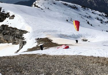
Touring skiing
Walking
Walking
Walking
Walking
Walking
Walking

Walking
Walking
Walking
Walking