borot

Offline

Favoris publics

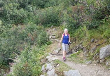
Trail Walking Les Gets - Mont Cherry par l'Encrenaz - Photo
Walking
mic-13

Walking

Medium
Les Gets, Auvergne-Rhône-Alpes, Upper Savoy, France
7.7 km | 14 km-effort
4h 17min
Yes
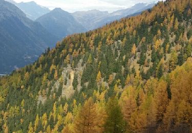
Trail Other activity Chamonix-Mont-Blanc - la jonction  - Photo
Other activity
jeff2

Other activity

Very easy
Chamonix-Mont-Blanc, Auvergne-Rhône-Alpes, Upper Savoy, France
13.7 km | 33 km-effort
7h 36min
No
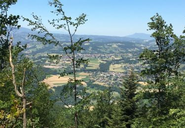
Trail Walking Chamonix-Mont-Blanc - CHAMONIX (Signal Forbes) - Photo
Walking
GerardBouche

Walking

Medium
Chamonix-Mont-Blanc, Auvergne-Rhône-Alpes, Upper Savoy, France
19.4 km | 37 km-effort
7h 34min
No
Trail Mountain bike Mégevette - VTT(74)-Boucle Mégevette - Lac de Vallon - Photo
Mountain bike
HG74250

Mountain bike

Medium
Mégevette, Auvergne-Rhône-Alpes, Upper Savoy, France
22 km | 34 km-effort
2h 7min
Yes
Trail Walking Annecy - Mont Veyrier-Mont Baron - Photo
Walking
Pilouchi

Walking

Easy
(4)
Annecy, Auvergne-Rhône-Alpes, Upper Savoy, France
6.6 km | 12.5 km-effort
2h 54min
Yes
Trail Walking Mieussy - Pointe de Chalune - Photo
Walking
vazitonton

Walking

Medium
Mieussy, Auvergne-Rhône-Alpes, Upper Savoy, France
6.5 km | 14.2 km-effort
5h 30min
Yes
Trail Walking Passy - Barmerousse - Photo
Walking
webalpes

Walking

Difficult
Passy, Auvergne-Rhône-Alpes, Upper Savoy, France
4.8 km | 16.3 km-effort
2h 33min
No
Trail Walking La Clusaz - trou des mouches boucle - Photo
Walking
jphiifree

Walking

Difficult
La Clusaz, Auvergne-Rhône-Alpes, Upper Savoy, France
10.6 km | 24 km-effort
5h 24min
Yes
Trail Mountain bike Saint-Bazile - petit tour du did - Photo
Mountain bike
vimpere

Mountain bike

Easy
Saint-Bazile, New Aquitaine, Haute-Vienne, France
18.1 km | 22 km-effort
2h 14min
No

Close
My subscriptions