


12.3 km | 26 km-effort

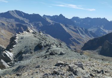
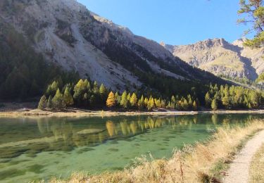
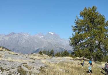
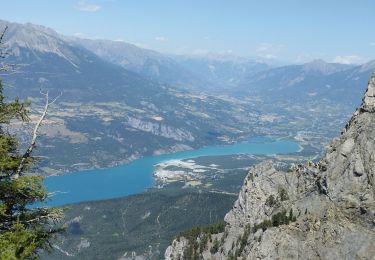
Walking
Walking
Walking
Walking

Walking
Walking
Walking
Walking
Walking

Walking
Walking

Walking
Walking
Walking
Walking
Walking
Walking
Walking
Walking
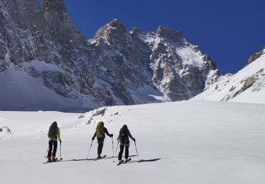
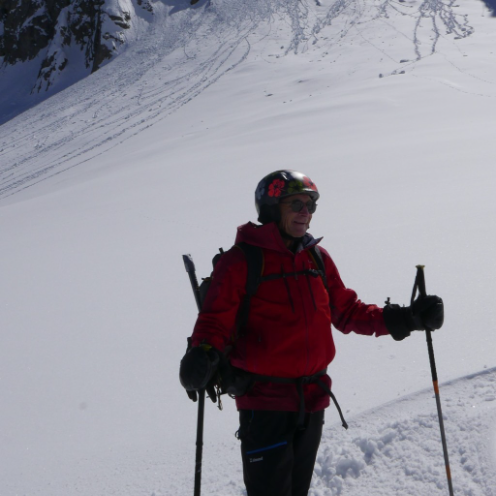
Touring skiing