


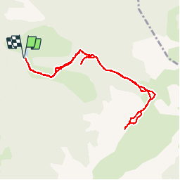

7.2 km | 15.3 km-effort


User


FREE GPS app for hiking
 SityTrail
IGN / Geographical institutes
SityTrail World
The world is yours!
Trail Walking of 10.1 km to be discovered at Occitania, Pyrénées-Orientales, Fontpédrouse. This trail is proposed by ThonyM.
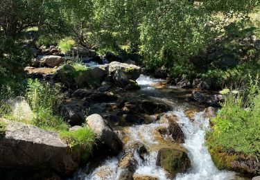
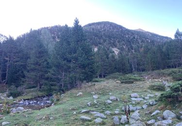
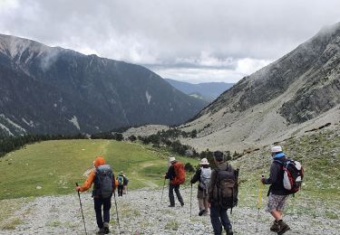
Temps total 6 heures. Marche effective 4 heures. De quoi transpirer. Vue 360 imprenable au sommet. Super rando pour qui aime bien marcher

Walking

Walking

Walking

Walking

Walking
Walking

Walking
Walking
Walking