


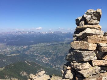
9.3 km | 18.5 km-effort
Fontpédrouse: Discover the best trails: 55 hiking trails. All these trails, routes and outdoor activities are available in our SityTrail applications for smartphones and tablets.
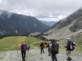
Walking


Walking
Walking
Walking
Walking
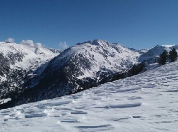
Snowshoes
• depuis Prats Balaguer et ascension du col Mitja - bien respecter le sens de la boucle (moins difficile) - possiblité ...
Walking
• Tres beau et agréable sentier.

Walking
• Tres beau et agréable sentier.
Walking
• Sortie détente pas trop difficile DNS une belle vallée
Walking
• comite

Walking
• comite
Walking
• Circuit retour descente pierreuse
Walking
Walking
Walking
Walking
Walking
Walking
Walking
• Retour par la piste (une tendinite dans l'équipe. Plus abordable que le Redoun. Derniers mètres escarpés
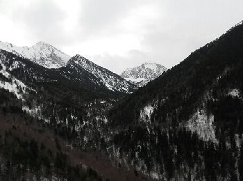
Snowshoes
• Jolie rando avec de beaux points de vue. Faite en raquette de bout en bout avec beaucoup de neige.
20 trails displayed on 61
FREE GPS app for hiking
 SityTrail
IGN / Geographical institutes
SityTrail World
The world is yours!