


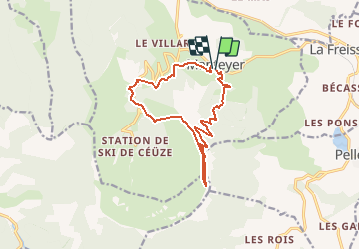

9.6 km | 15.6 km-effort

Les Hautes Alpes à découvrir ! GUIDE+


FREE GPS app for hiking
 SityTrail
IGN / Geographical institutes
SityTrail World
The world is yours!
Trail Running of 13.5 km to be discovered at Provence-Alpes-Côte d'Azur, Hautes-Alpes, Manteyer. This trail is proposed by Camping Les Rives du Lac.
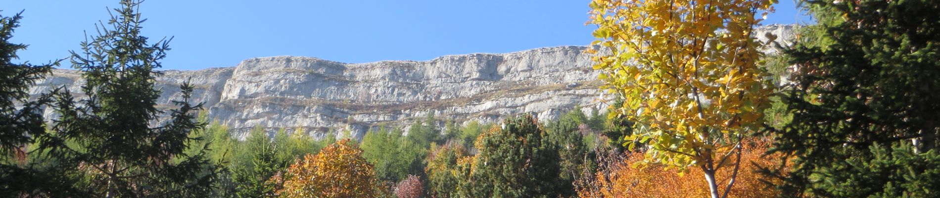
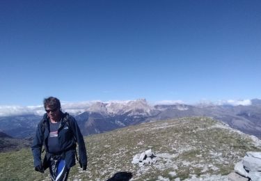
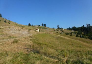
Une montée raide avec un petit passage aérien le long de la falaise pour déboucher sur le sommer de Céüze. Panorama exceptionnel ! Descente « droit dans la pente » !!!


Walking

Mountain bike

Mountain bike

Walking

Walking

Mountain bike
Walking

Mountain bike
Mountain bike