


9.6 km | 15.6 km-effort
Manteyer: Discover the best trails: 31 hiking trails and 8 bike and mountain-bike routes. All these trails, routes and outdoor activities are available in our SityTrail applications for smartphones and tablets.
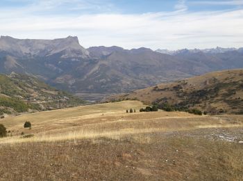
Walking


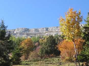
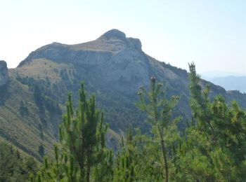
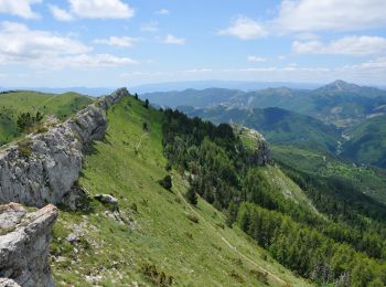
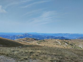
• The cliff of Céüse offers one of the most beautiful views of the Alps. Begin the hike by heading west so that the sun...
Mountain bike
• From the campsite, a series of single tracks more or less technical. Very beautiful mountain bike on a short distance...
Walking
Walking
Running
Mountain bike
• A very nice hike in the circus of Saint Genis. Easy climb by the forest track, then very technical downhill south (p...
Mountain bike
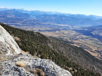
• Beautiful hike from the station Céüze and ends in Veynes. Some technical passages but no danger. Little climb compare...
Walking
Walking
Running
Walking
Walking
Touring skiing
Walking

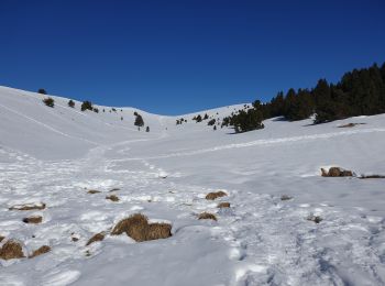
Snowshoes

Walking
•
Walking
Walking
Walking

Mountain bike
20 trails displayed on 57
FREE GPS app for hiking
 SityTrail
IGN / Geographical institutes
SityTrail World
The world is yours!