


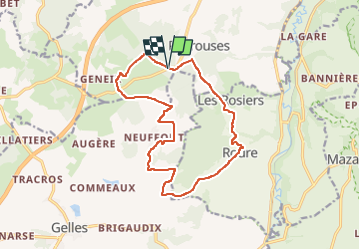

10 km | 13.4 km-effort

User GUIDE


FREE GPS app for hiking
 SityTrail
IGN / Geographical institutes
SityTrail World
The world is yours!
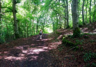
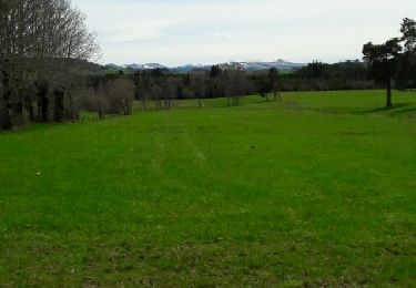
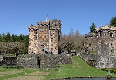
Trail Walking of 15 km to be discovered at Auvergne-Rhône-Alpes, Puy-de-Dôme, Bromont-Lamothe. This trail is proposed by jagarnier.
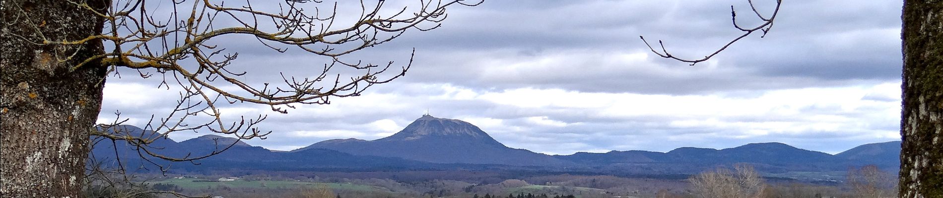
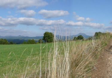
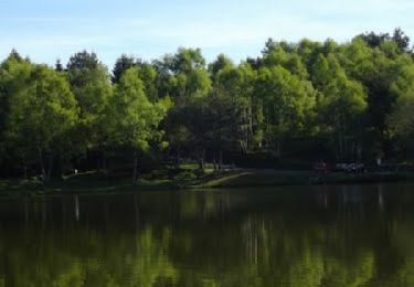
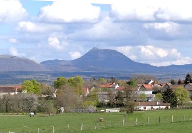
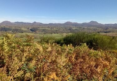
Du cœur de la petite chaîne des Puys, vous verrez le Sancy et le Monts Dôme. Vous pourrez rêver au bord de l'étang de la Faye en vous coyant arrivé dans les Landes.

Walking
Walking
Mountain bike
Walking
Walking
Walking
Walking

Walking
Walking