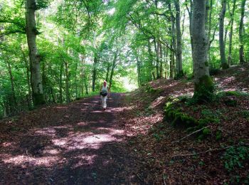
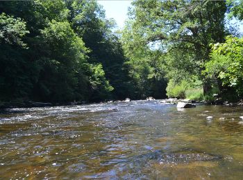
Bromont-Lamothe, Puy-de-Dôme: Best trails, routes and walks

2 comments

Bromont-Lamothe: Discover the best trails: 15 hiking trails and 2 equestrian circuits. All these trails, routes and outdoor activities are available in our SityTrail applications for smartphones and tablets.


The best trails (18)
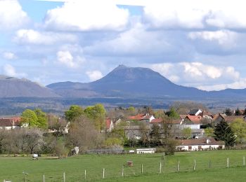
Trail Walking Bromont-Lamothe - Bromont_Puy_Moufle - Photo
Walking 12.862
Km
GUIDE

Walking

Medium
Bromont-Lamothe, Auvergne-Rhône-Alpes, Puy-de-Dôme, France
12.9 km | 17.5 km-effort
3h 45min
349 m
348 m
Yes
jagarnier

Trail Walking Bromont-Lamothe - Le Puy de Moufle  - Photo
Walking 13.919
Km

Walking

Medium
(1)
Bromont-Lamothe, Auvergne-Rhône-Alpes, Puy-de-Dôme, France
13.9 km | 18.5 km-effort
3h 50min
343 m
342 m
Yes
Gegetop

Trail Walking Bromont-Lamothe - Bouzarat  - Photo
Walking 15.339
Km

Walking

Medium
Bromont-Lamothe, Auvergne-Rhône-Alpes, Puy-de-Dôme, France
15.3 km | 20 km-effort
3h 32min
380 m
379 m
Yes
Gegetop

• Boucle

Trail Walking Bromont-Lamothe - Bromont_Puy_Neuffont - Photo
Walking 14.991
Km
GUIDE

Walking

Medium
Bromont-Lamothe, Auvergne-Rhône-Alpes, Puy-de-Dôme, France
15 km | 19.1 km-effort
4h 30min
310 m
313 m
Yes
jagarnier

Trail On foot Bromont-Lamothe - Le Puy de Neuffont - Photo
On foot 6.05
Km
GUIDE+

On foot

Easy
Bromont-Lamothe, Auvergne-Rhône-Alpes, Puy-de-Dôme, France
6 km | 7.5 km-effort
1h 42min
104 m
131 m
No
SityTrail - itinéraires balisés pédestres

• Trail created by CD63.

Trail Walking Bromont-Lamothe - Le piège à con  - Photo
Walking 11.86
Km

Walking

Very difficult
Bromont-Lamothe, Auvergne-Rhône-Alpes, Puy-de-Dôme, France
11.9 km | 17.4 km-effort
4h 40min
414 m
407 m
Yes
Gegetop

Trail Walking Bromont-Lamothe - Le puy de Moufle (revu et corrigé) - Photo
Walking 11.821
Km

Walking

Medium
Bromont-Lamothe, Auvergne-Rhône-Alpes, Puy-de-Dôme, France
11.8 km | 15.6 km-effort
3h 14min
287 m
287 m
Yes
Gegetop

Trail On foot Bromont-Lamothe - ITI0023 - Photo
On foot 14.208
Km

On foot

Medium
Bromont-Lamothe, Auvergne-Rhône-Alpes, Puy-de-Dôme, France
14.2 km | 18.2 km-effort
4h 8min
299 m
301 m
Yes
jeanic63

Trail On foot Bromont-Lamothe - SityTrail - Puy de Moufle - Photo
On foot 12.343
Km

On foot

Easy
Bromont-Lamothe, Auvergne-Rhône-Alpes, Puy-de-Dôme, France
12.3 km | 16.2 km-effort
3h 41min
291 m
290 m
Yes
jeanic63

Trail Other activity Bromont-Lamothe - bouzarat saint pierre - Photo
Other activity 19.258
Km

Other activity

Very easy
Bromont-Lamothe, Auvergne-Rhône-Alpes, Puy-de-Dôme, France
19.3 km | 25 km-effort
Unknown
451 m
449 m
Yes
picouleau220345

Trail Walking Bromont-Lamothe - sioule anchald - Photo
Walking 29.184
Km

Walking

Very difficult
Bromont-Lamothe, Auvergne-Rhône-Alpes, Puy-de-Dôme, France
29 km | 38 km-effort
1h 19min
572 m
938 m
No
jbc63

Trail Horseback riding Bromont-Lamothe - 17-ChevauchéeCombrailles- StPierreChastel - Miremont - Photo
Horseback riding 21.515
Km

Horseback riding

Medium
Bromont-Lamothe, Auvergne-Rhône-Alpes, Puy-de-Dôme, France
22 km | 27 km-effort
3h 35min
342 m
712 m
No
Jean Marie LAURENT

Trail Horseback riding Bromont-Lamothe - 16-ChevauchéeCombrailles - StPierreChastel - ChapdesBeaufort - Photo
Horseback riding 25.294
Km

Horseback riding

Difficult
Bromont-Lamothe, Auvergne-Rhône-Alpes, Puy-de-Dôme, France
25 km | 33 km-effort
4h 20min
539 m
707 m
No
Jean Marie LAURENT

Trail Walking Bromont-Lamothe - Bromont fait 2022 - Photo
Walking 11.648
Km

Walking

Medium
Bromont-Lamothe, Auvergne-Rhône-Alpes, Puy-de-Dôme, France
11.6 km | 15.2 km-effort
2h 43min
264 m
264 m
Yes
pidjam

Trail Walking Bromont-Lamothe - Trail Planner Map - Photo
Walking 7.004
Km

Walking

Medium
Bromont-Lamothe, Auvergne-Rhône-Alpes, Puy-de-Dôme, France
7 km | 9.3 km-effort
2h 7min
176 m
176 m
Yes
pidjam

Trail Walking Bromont-Lamothe - Trail Planner Map - Photo
Walking 10.694
Km

Walking

Difficult
Bromont-Lamothe, Auvergne-Rhône-Alpes, Puy-de-Dôme, France
10.7 km | 14 km-effort
3h 11min
249 m
249 m
Yes
pidjam

Trail Other activity Bromont-Lamothe - bouzarat lapeyrouse le moulin etang de la faye rosier 9km8 - Photo
Other activity 13.523
Km

Other activity

Very easy
(1)
Bromont-Lamothe, Auvergne-Rhône-Alpes, Puy-de-Dôme, France
13.5 km | 17.8 km-effort
2h 7min
320 m
321 m
Yes
picouleau220345

Trail Walking Bromont-Lamothe -  - Photo
Walking 4.02
Km

Walking

Very easy
Bromont-Lamothe, Auvergne-Rhône-Alpes, Puy-de-Dôme, France
4 km | 5.1 km-effort
Unknown
74 m
106 m
No
didierb

18 trails displayed on 18

FREE GPS app for hiking

Logo SityTrail SityTrail

IGN / Geographical institutes

Download SityTrail from the App Store Download SityTrail from Google Play

Logo SityTrail SityTrail World

The world is yours!

Download SityTrail from the App Store Download SityTrail from Google Play Download SityTrail on Huawei AppGallery

Activities

Close
My subscriptions