


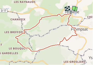

11.1 km | 15.6 km-effort

User GUIDE


FREE GPS app for hiking
 SityTrail
IGN / Geographical institutes
SityTrail World
The world is yours!
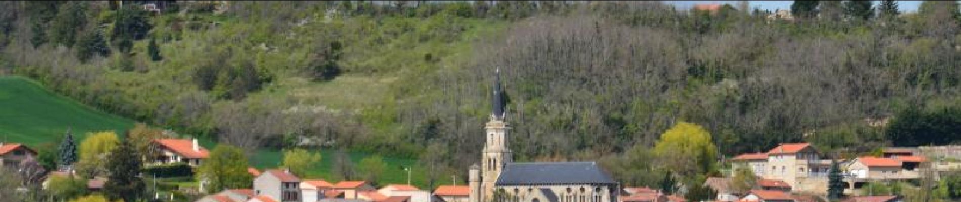
Trail Walking of 9.4 km to be discovered at Auvergne-Rhône-Alpes, Puy-de-Dôme, Teilhède. This trail is proposed by jagarnier.
Cette randonnée se déroule dans un cadre champêtre alternant vallons et plateau. Vous aurez quelques vues agréables sur la plaine de la Limagne, la chaîne des puys et les villages environnants.


On foot

Walking

Walking

Walking

Walking

Walking

Walking
On foot
On foot