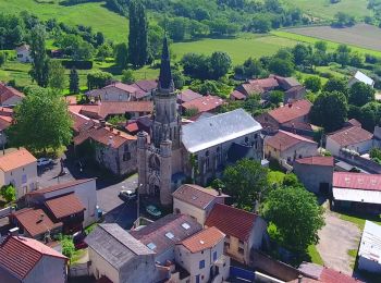
Teilhède, Puy-de-Dôme: Best trails, routes and walks

1 comments

Teilhède: Discover the best trails: 7 hiking trails. All these trails, routes and outdoor activities are available in our SityTrail applications for smartphones and tablets.


The best trails (6)
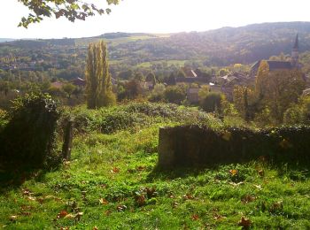
Trail Walking Teilhède - Teilhede - Photo
Walking 6.465
Km

Walking

Easy
(1)
Teilhède, Auvergne-Rhône-Alpes, Puy-de-Dôme, France
6.5 km | 8.7 km-effort
1h 38min
167 m
169 m
Yes
Gegetop

• Petite balade sympa avec joli point de vue depuis le Puy de Montaury.
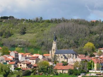
Trail Walking Teilhède - Teilhede_Puy_Grammont - Photo
Walking 9.368
Km
GUIDE

Walking

Easy
Teilhède, Auvergne-Rhône-Alpes, Puy-de-Dôme, France
9.4 km | 12.7 km-effort
2h 45min
250 m
246 m
Yes
jagarnier

Trail Walking Teilhède - Teilhéde Combronde - Photo
Walking 10.664
Km

Walking

Easy
Teilhède, Auvergne-Rhône-Alpes, Puy-de-Dôme, France
10.7 km | 14 km-effort
3h 1min
250 m
250 m
Yes
Gegetop

Trail Walking Teilhède - Teilhede_Gimeaux - Photo
Walking 6.337
Km
GUIDE

Walking

Easy
Teilhède, Auvergne-Rhône-Alpes, Puy-de-Dôme, France
6.3 km | 8.6 km-effort
2h 0min
168 m
169 m
Yes
jagarnier

Trail On foot Teilhède - Teilhède-Charbonnières les Vieilles - Photo
On foot 22.943
Km

On foot

Medium
Teilhède, Auvergne-Rhône-Alpes, Puy-de-Dôme, France
23 km | 30 km-effort
Unknown
511 m
511 m
Yes
jeanic63

Trail Walking Teilhède - le pré Cerf neuf - Photo
Walking 10.313
Km

Walking

Easy
Teilhède, Auvergne-Rhône-Alpes, Puy-de-Dôme, France
10.3 km | 13.4 km-effort
2h 29min
234 m
234 m
Yes
Gegetop

• Entre Teilhède et Combronde une balade en limite de la plaine et du plateau.

6 trails displayed on 6

FREE GPS app for hiking

Logo SityTrail SityTrail

IGN / Geographical institutes

Download SityTrail from the App Store Download SityTrail from Google Play

Logo SityTrail SityTrail World

The world is yours!

Download SityTrail from the App Store Download SityTrail from Google Play Download SityTrail on Huawei AppGallery

Activities

Close
My subscriptions